Grey Canal Trail, Vernon, BC

Grey Canal Trail, Vernon, British Columbia
About Grey Canal Trail, Okanagan Valley, Canada
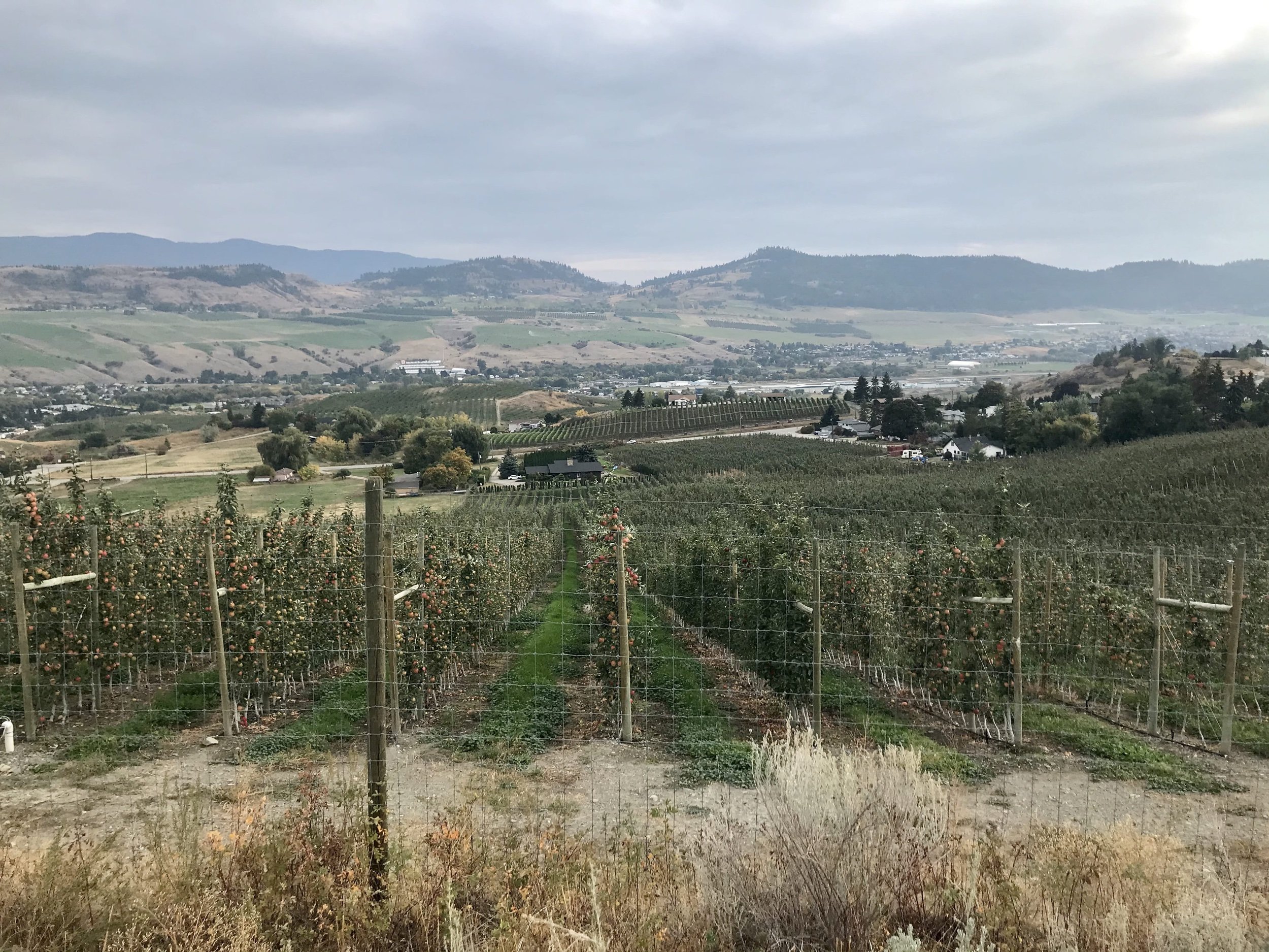
The Grey Canal Trail is located in the spectacular Okanagan Valley, British Columbia, and was created in 1905 to bring running water to the valley. This was ideal for the inhabitants of the region who needed water for the crops of the local farms, orchards, and vineyards. By 1970, modern technology took over, and the canal was no longer useful and was eventually decommissioned by the city of Vernon.
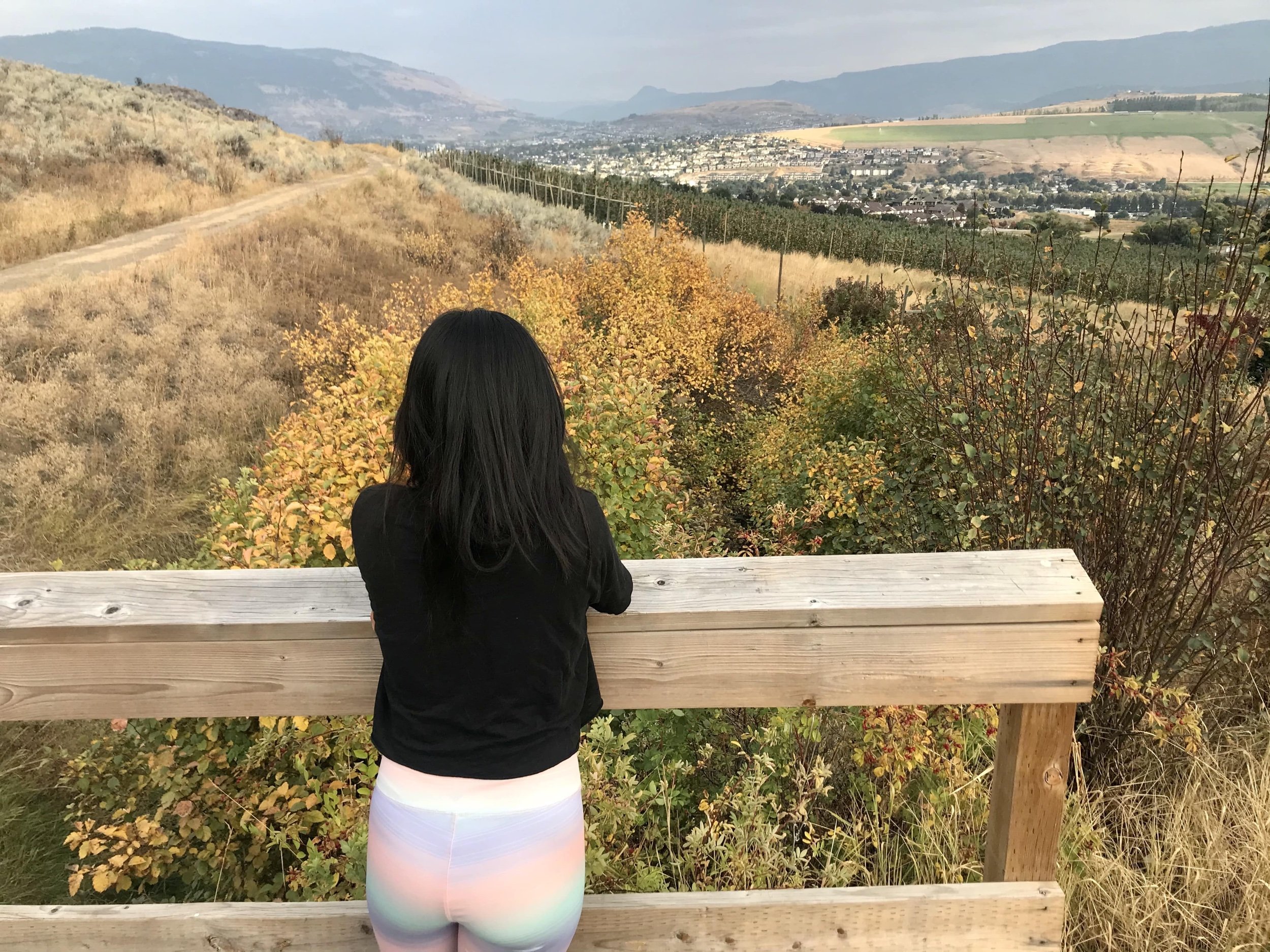
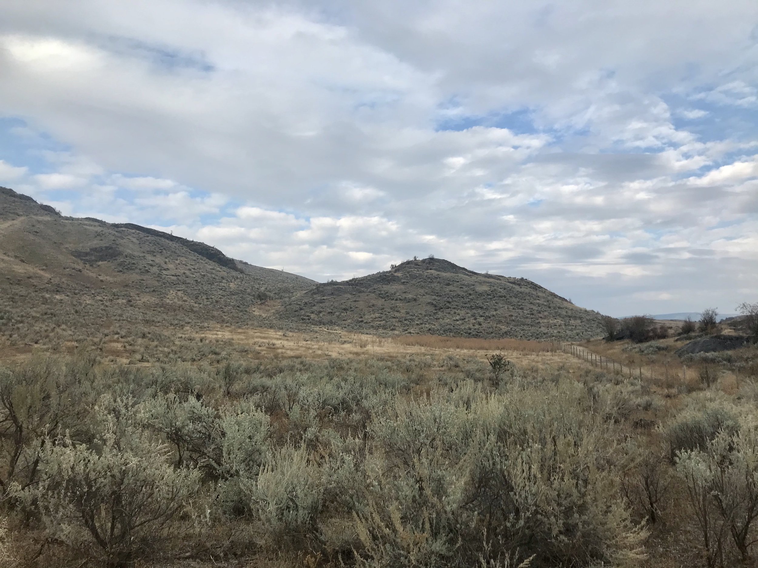
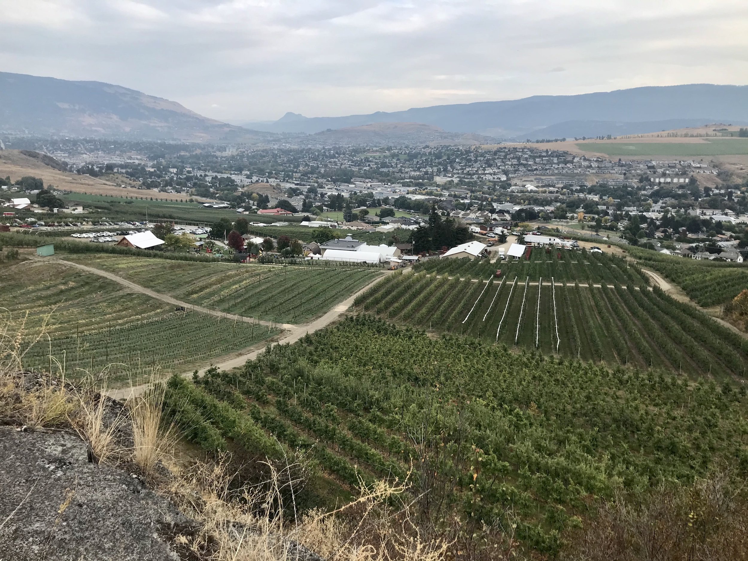
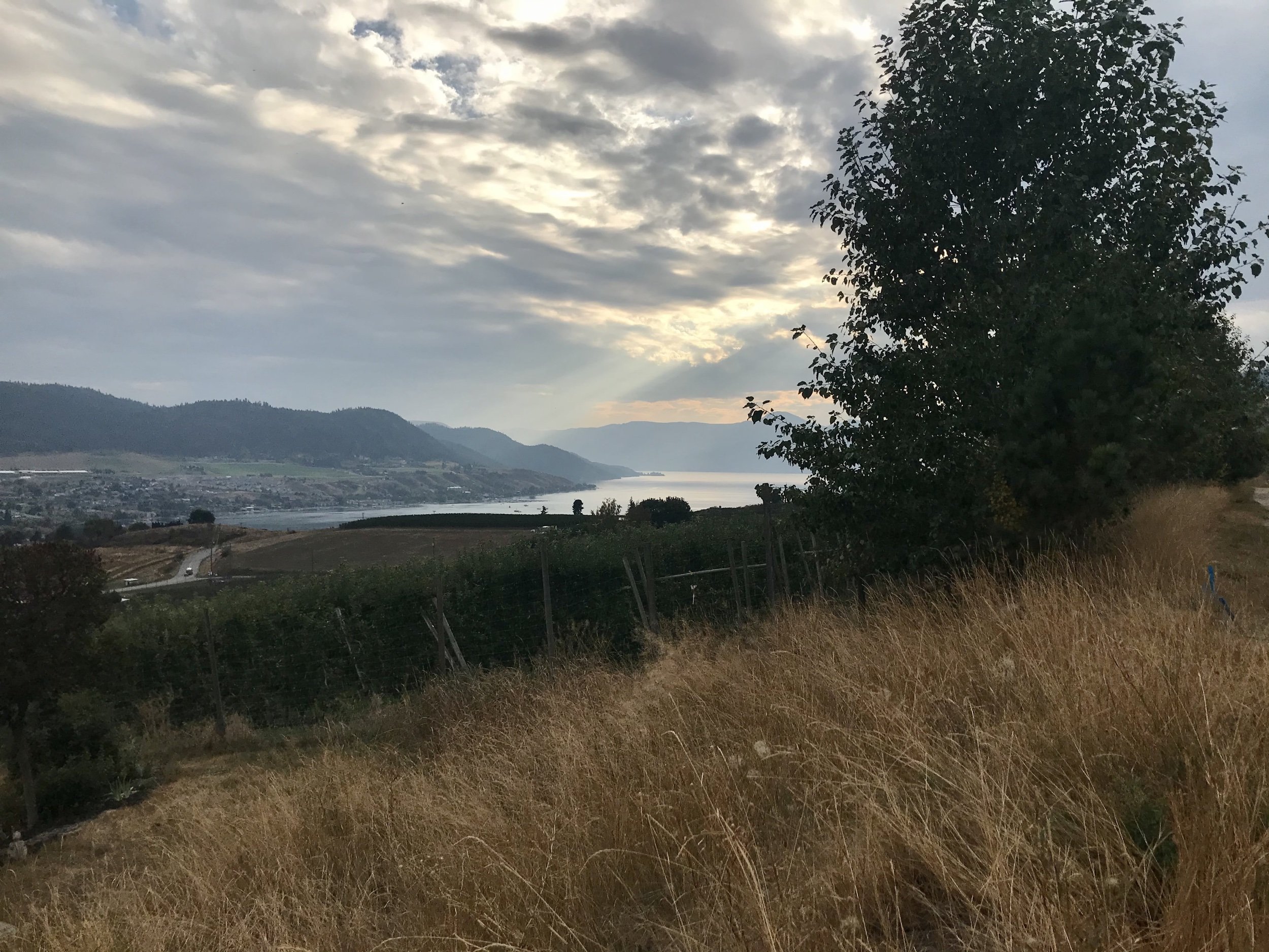
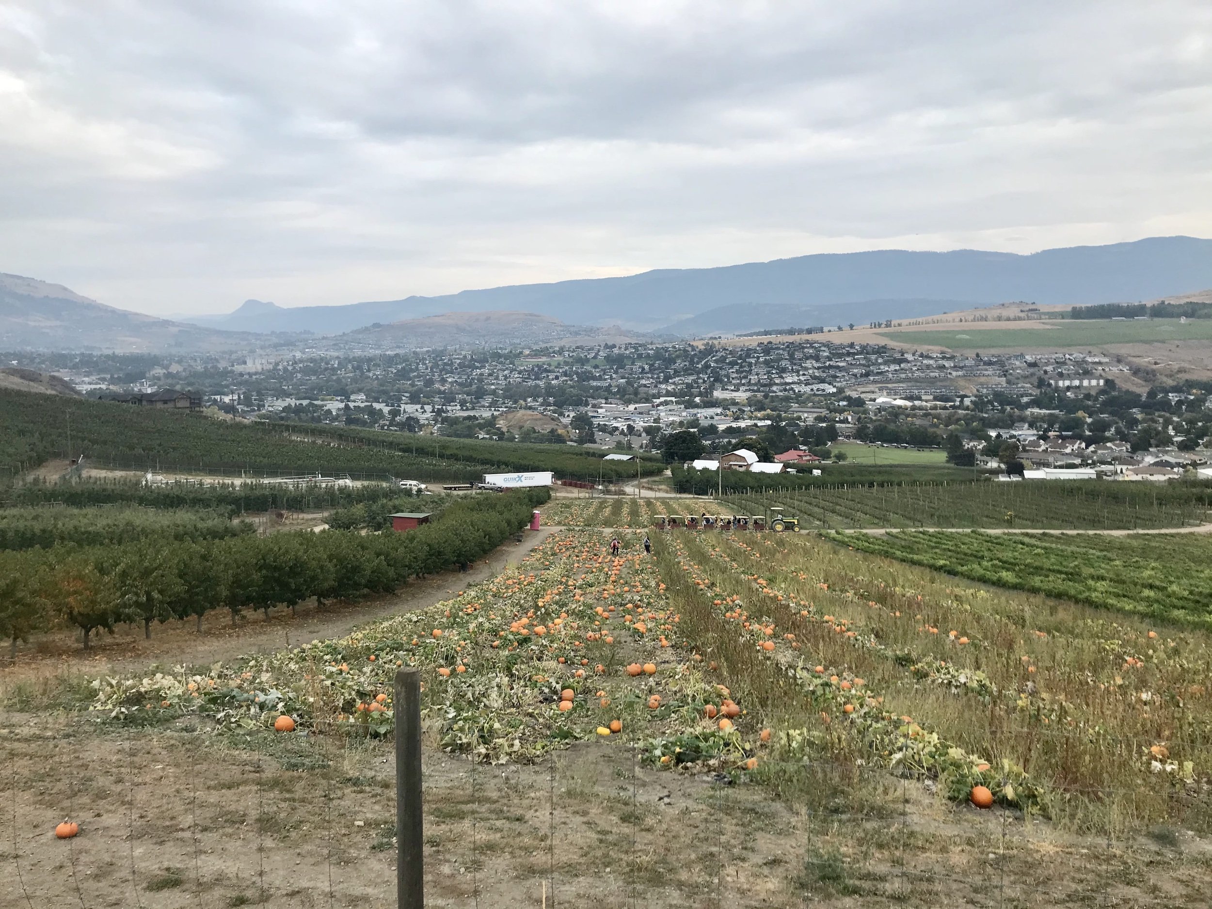
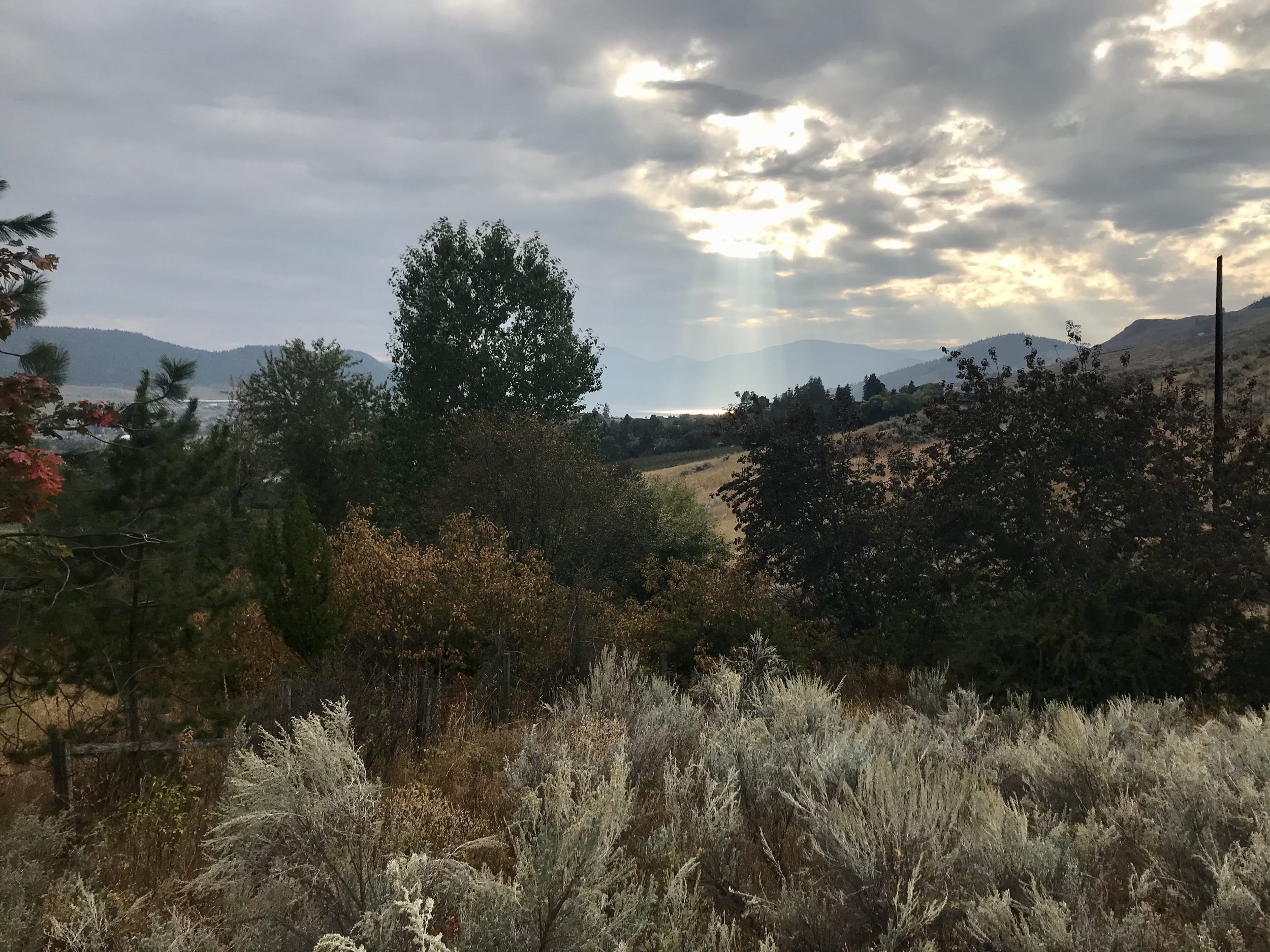
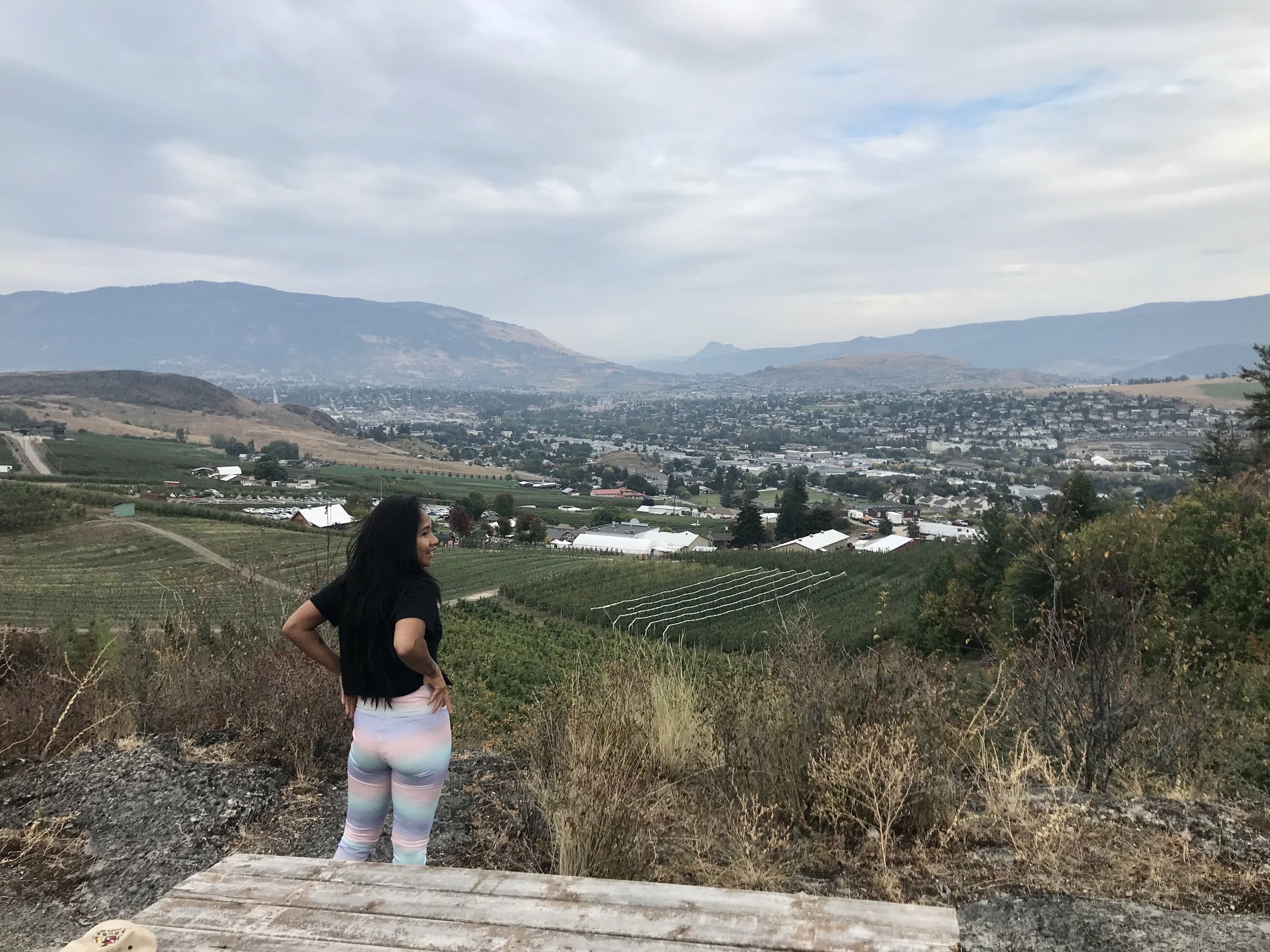
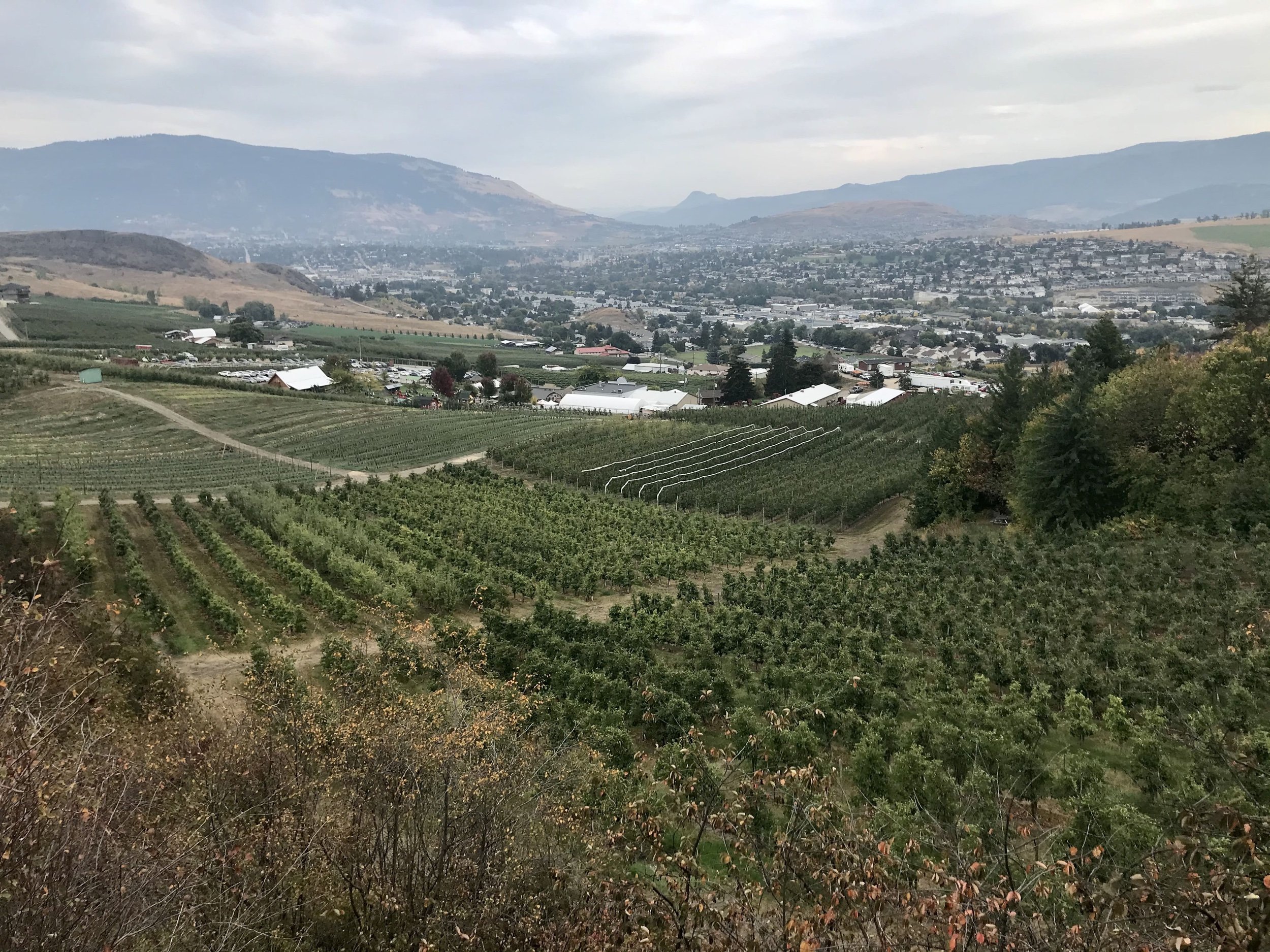
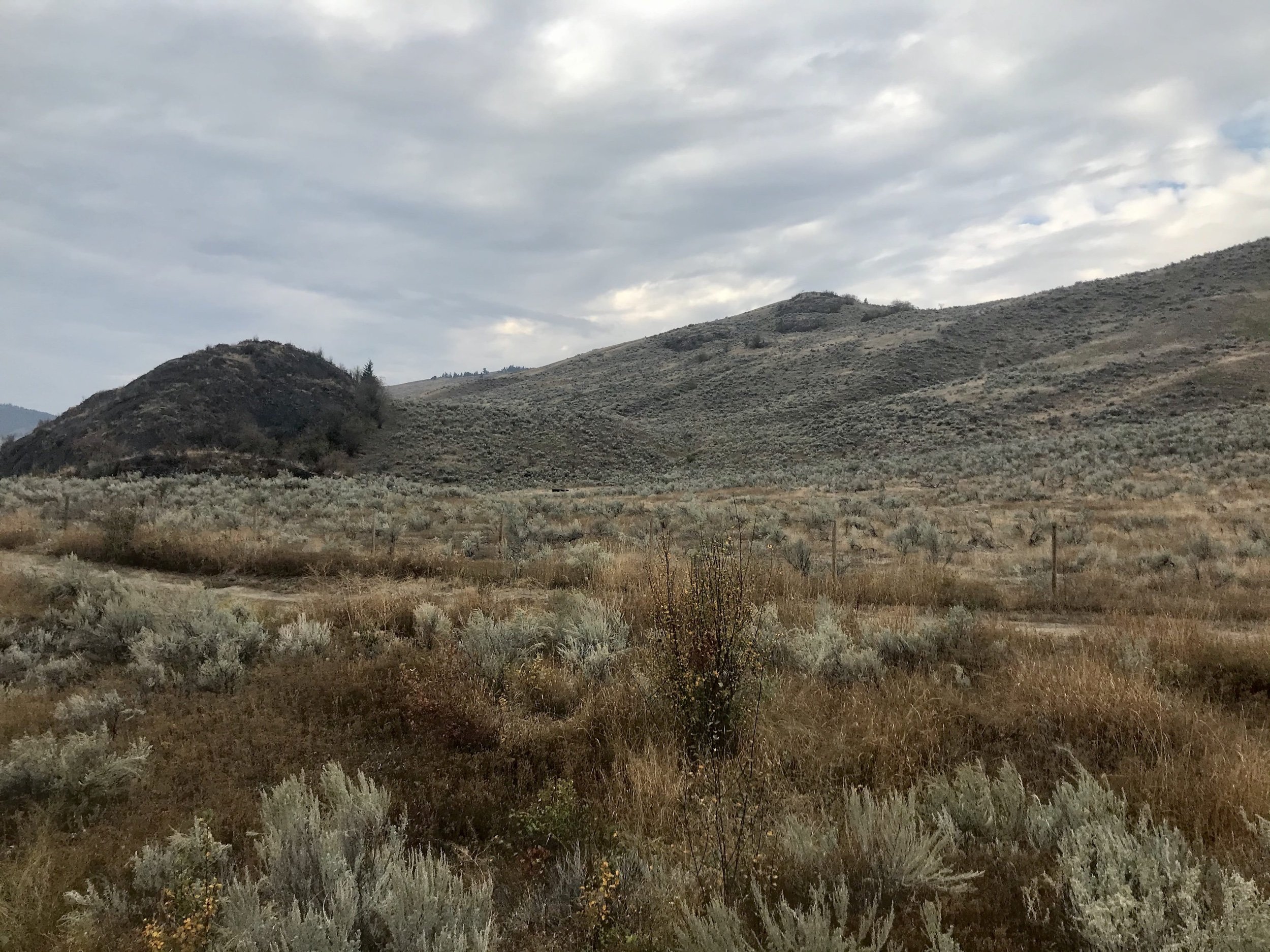
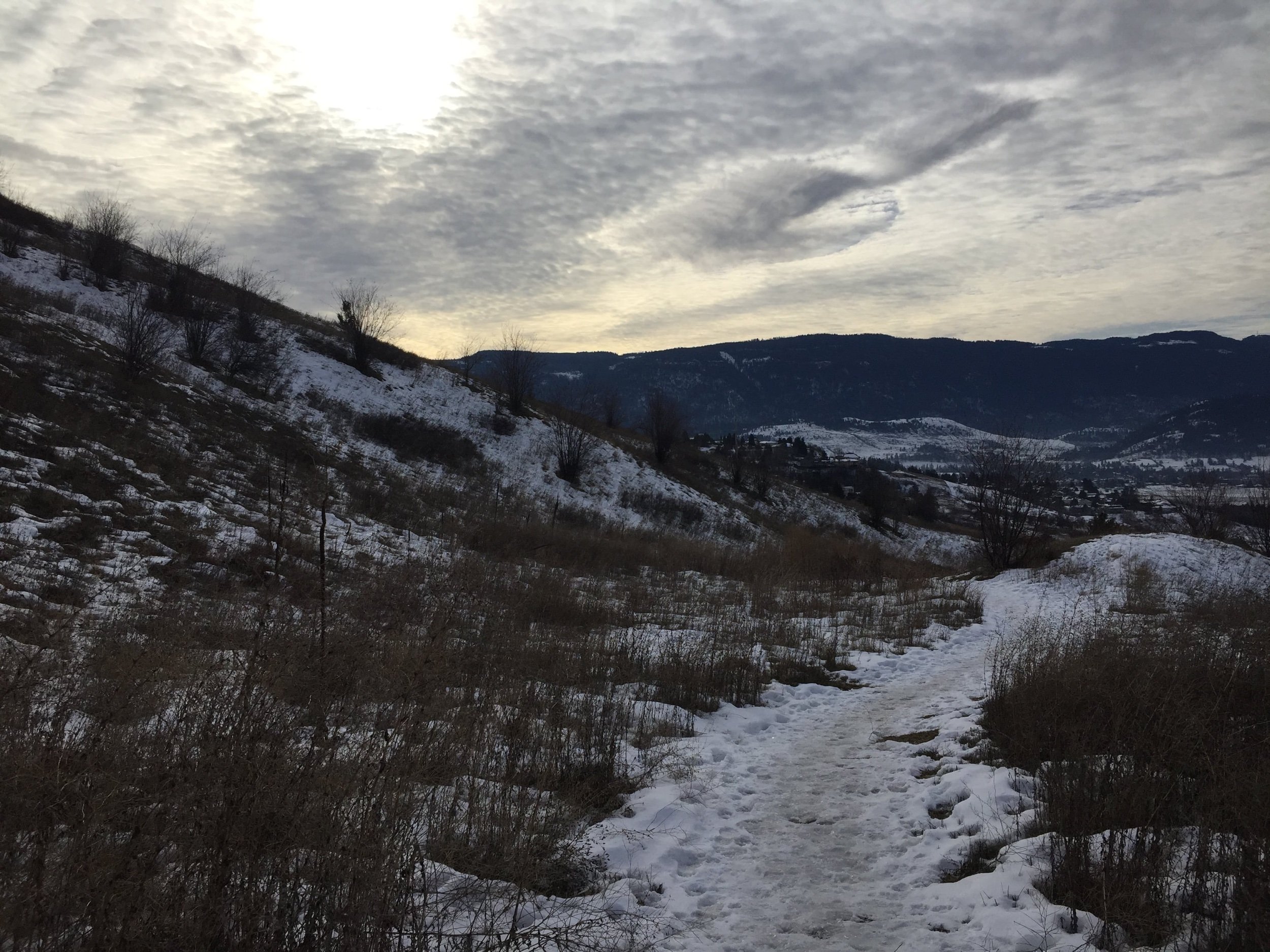
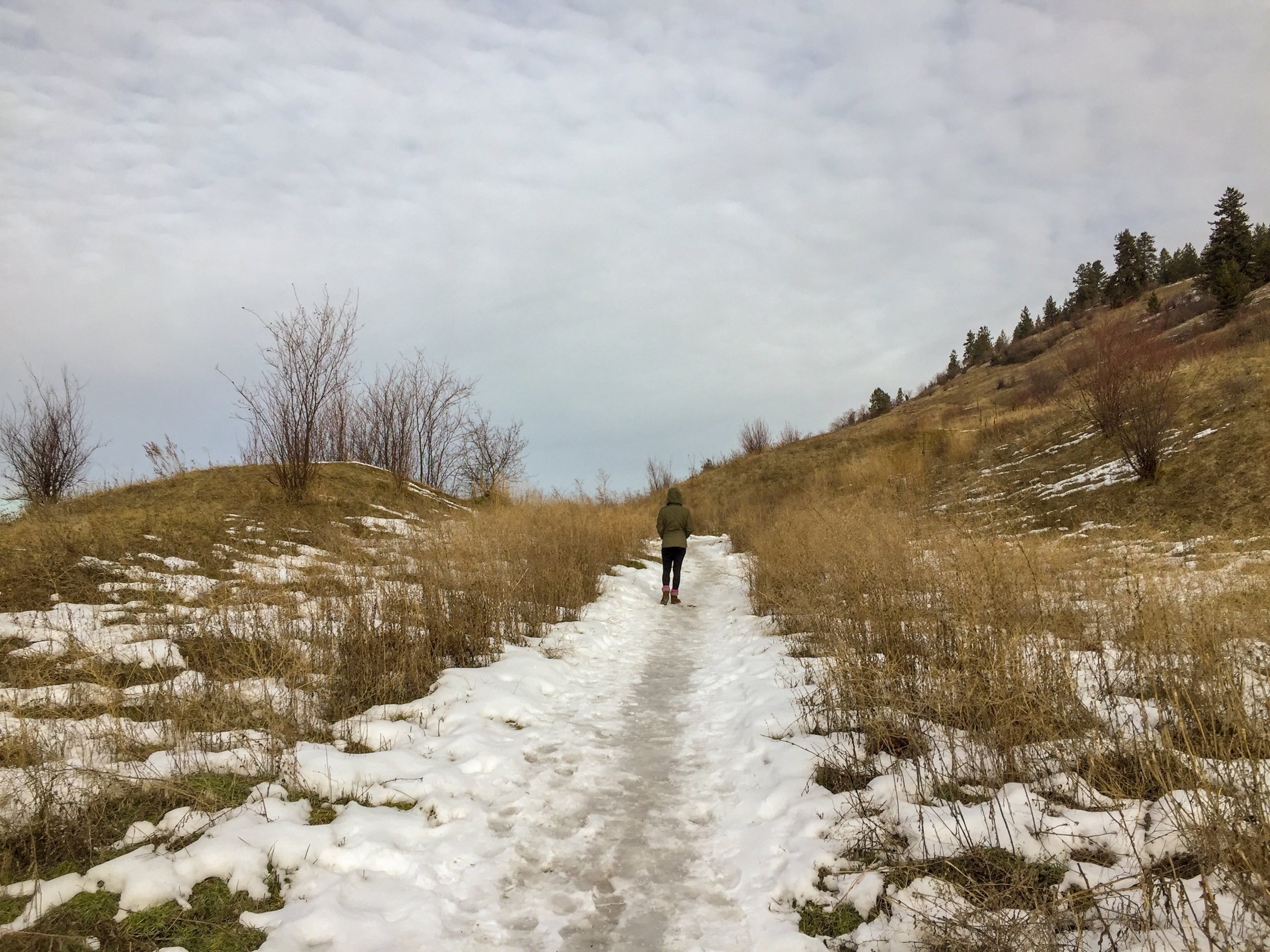
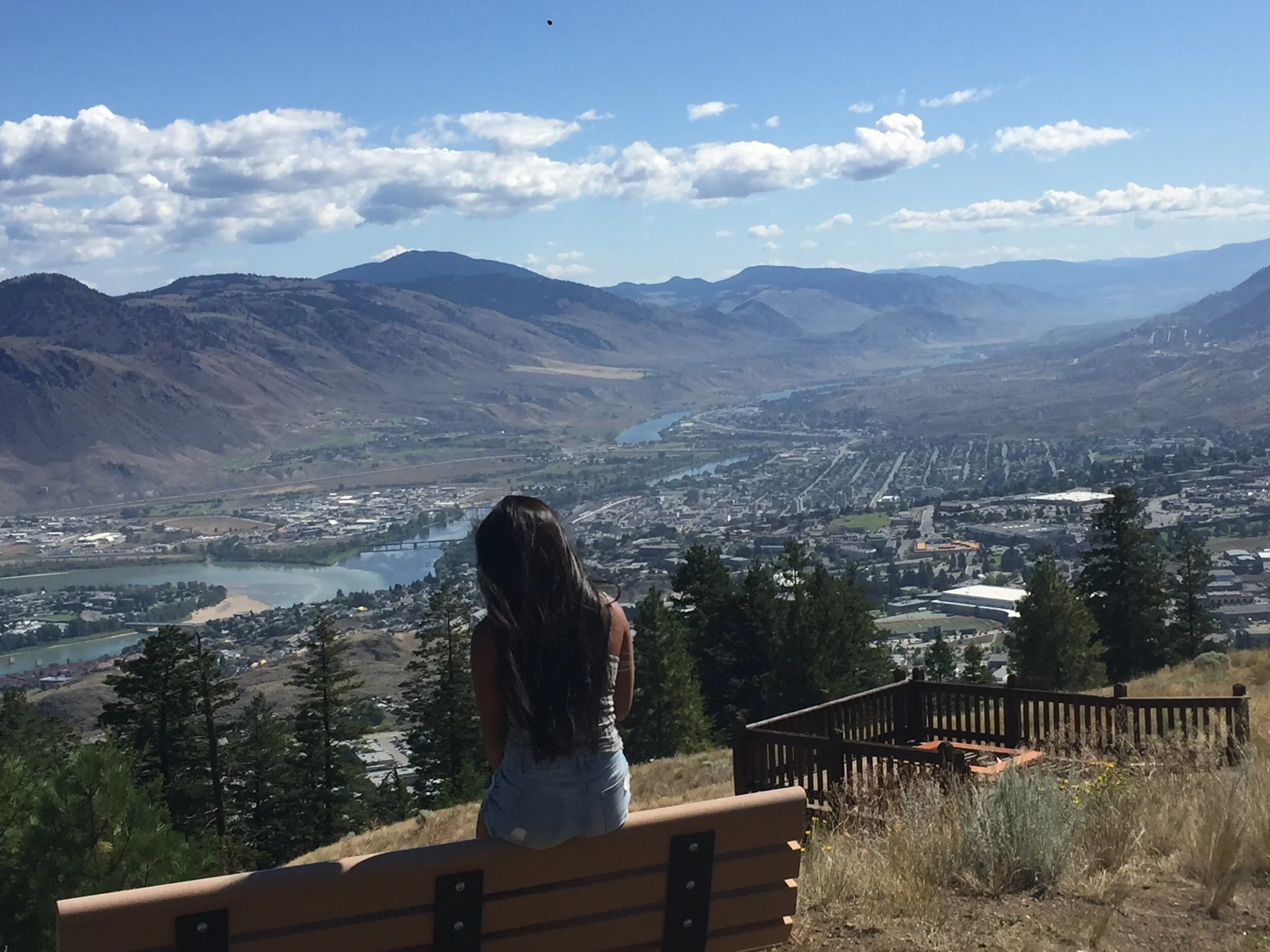
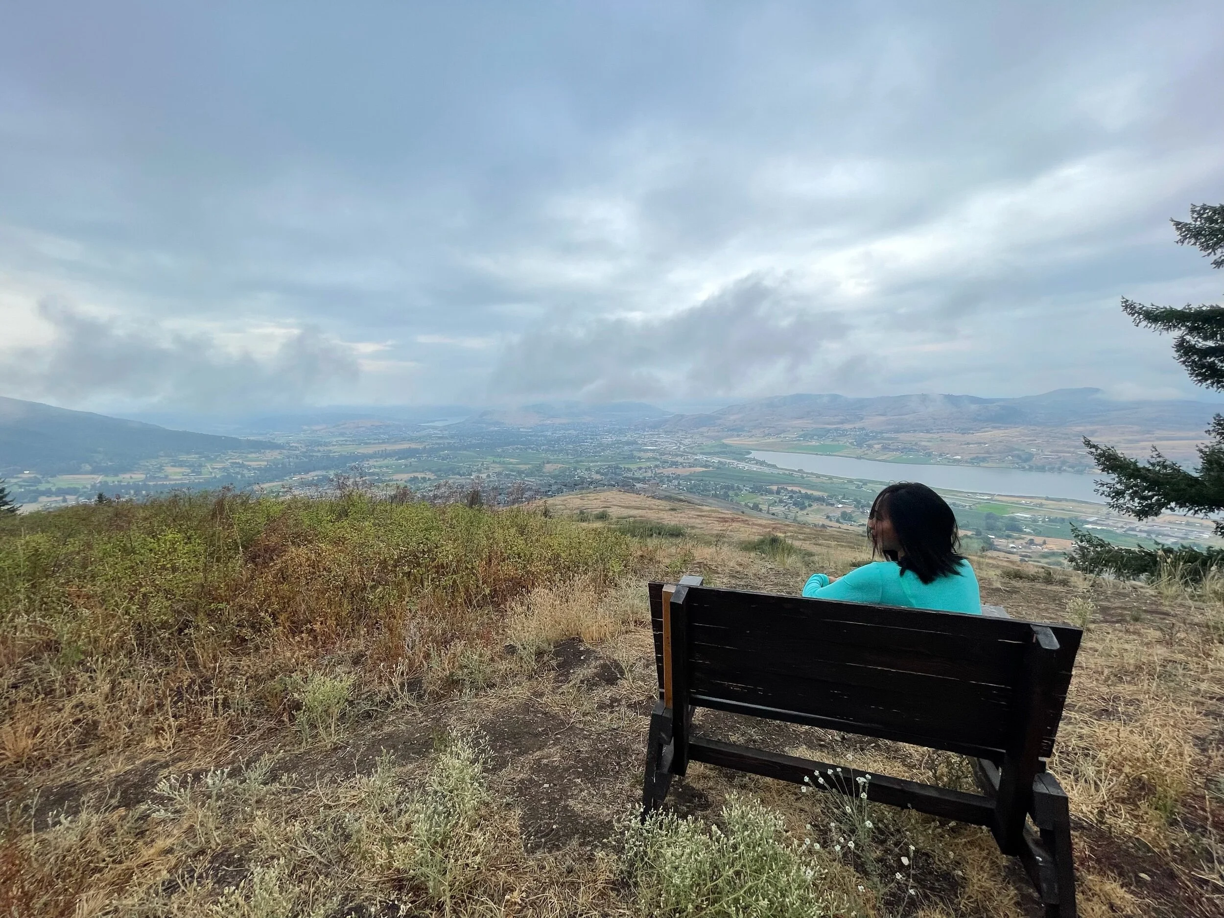
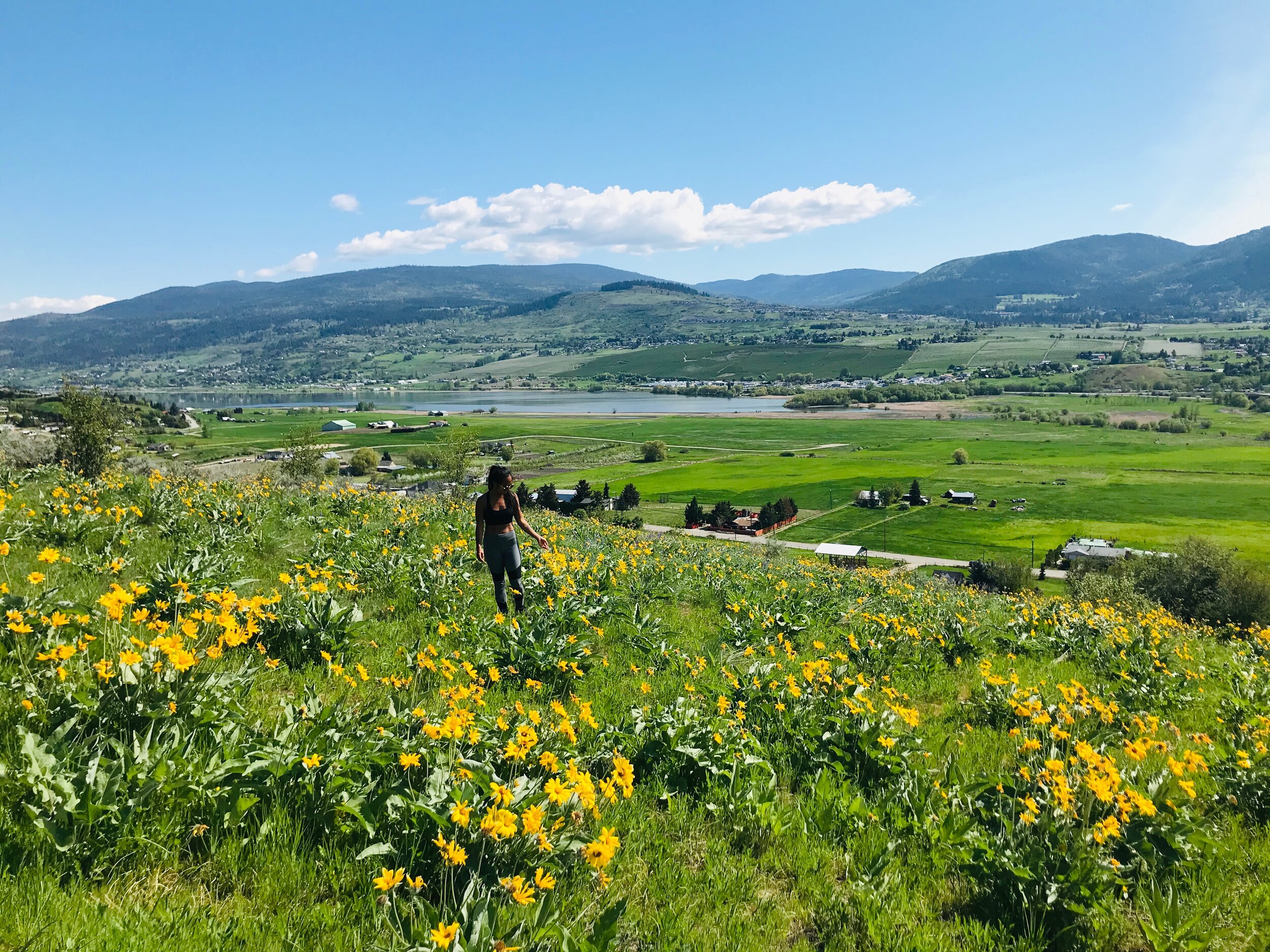
Nowadays, there are many sections of the Grey Canal Trail that are open to the public for hiking and biking. These trails take you through wonderful tracts of Okanagan grasslands and forests. All of the hiking trails are fairly easy and are a great place to stop and enjoy the birds, butterflies, and fields of springtime wildflowers. The Turtle Mountain section shows off brilliant views of the Okanagan Valley, Adventure Bay, and Swan Lake.
Grey Canal Trail YouTube Video

Grey Canal Trail, Vernon, British Columbia
How to Get There
Map of Grey Canal Trail

Grey Canal Trail, Vernon, British Columbia
Grey Canal Trail Sections
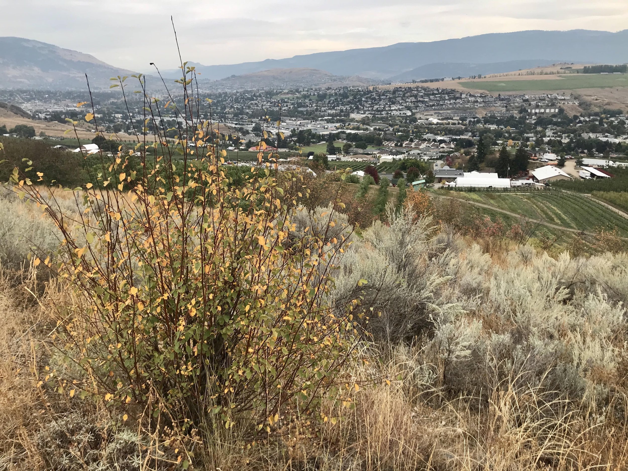
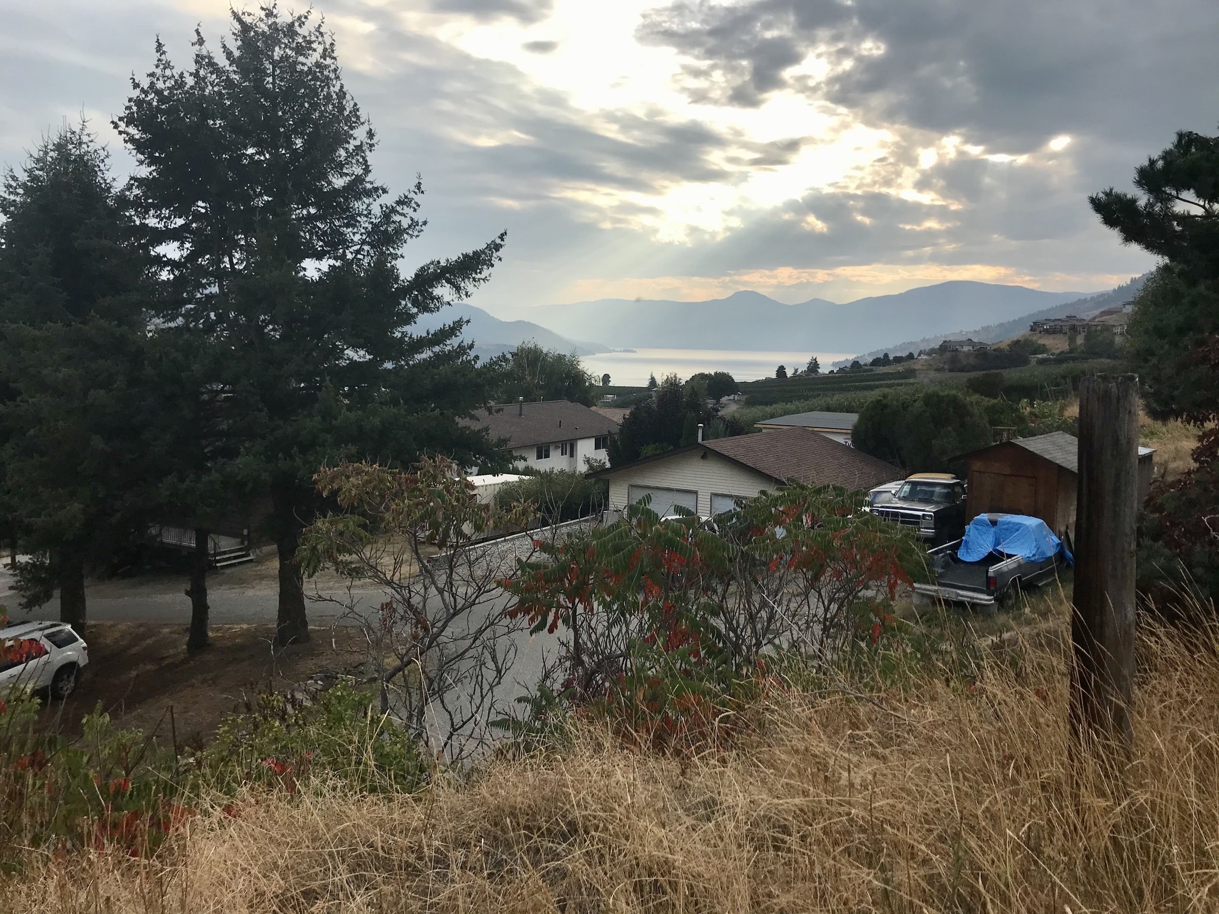
Bella Vista: Easy, 3.5 km
The Bella Vista section provides a flat trail with scenic views of orchards, vineyards, and grasslands, as well as
views of Okanagan Lake, the Commonage, Bluenose Mountain, and the city of Vernon.
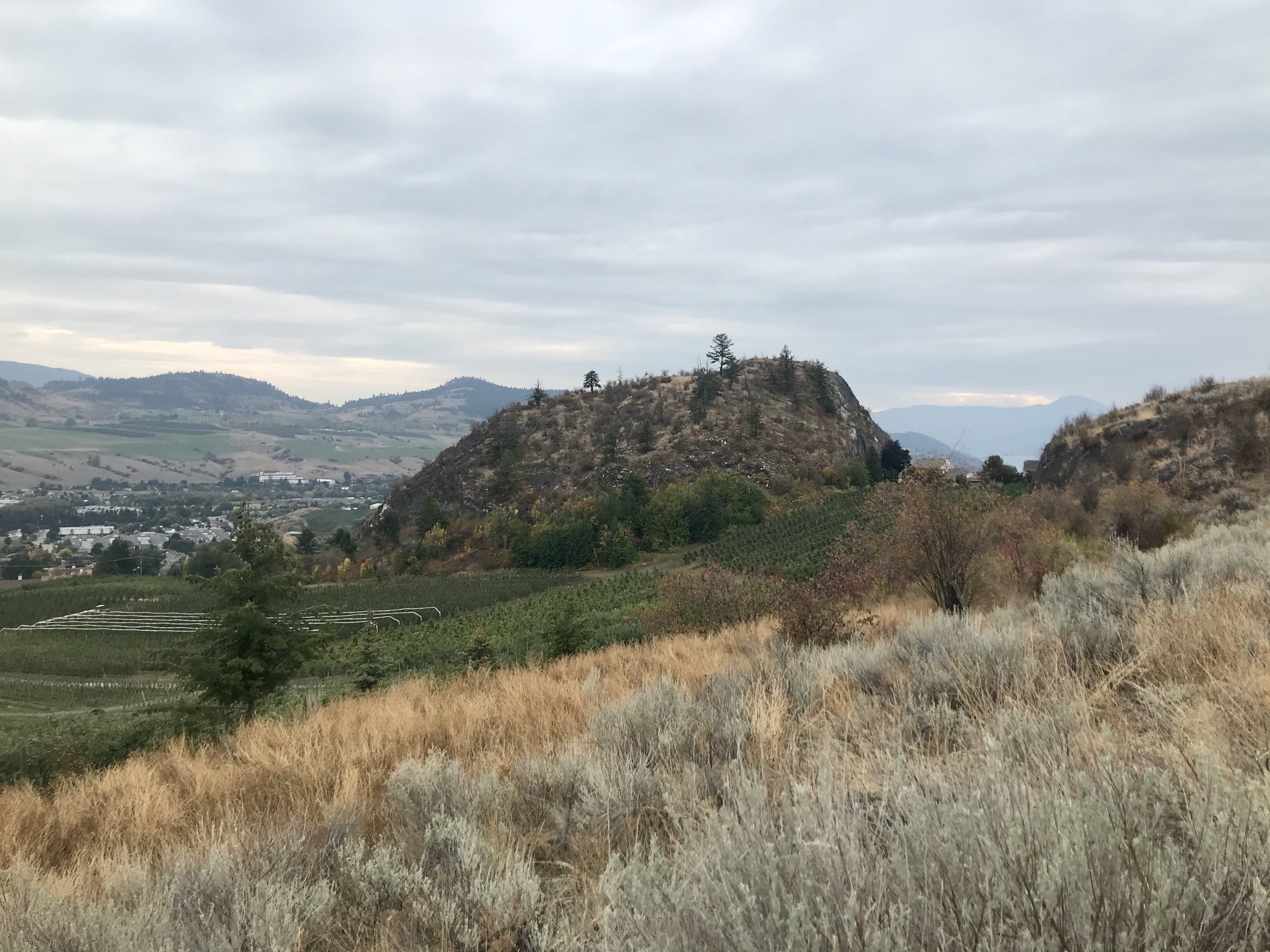
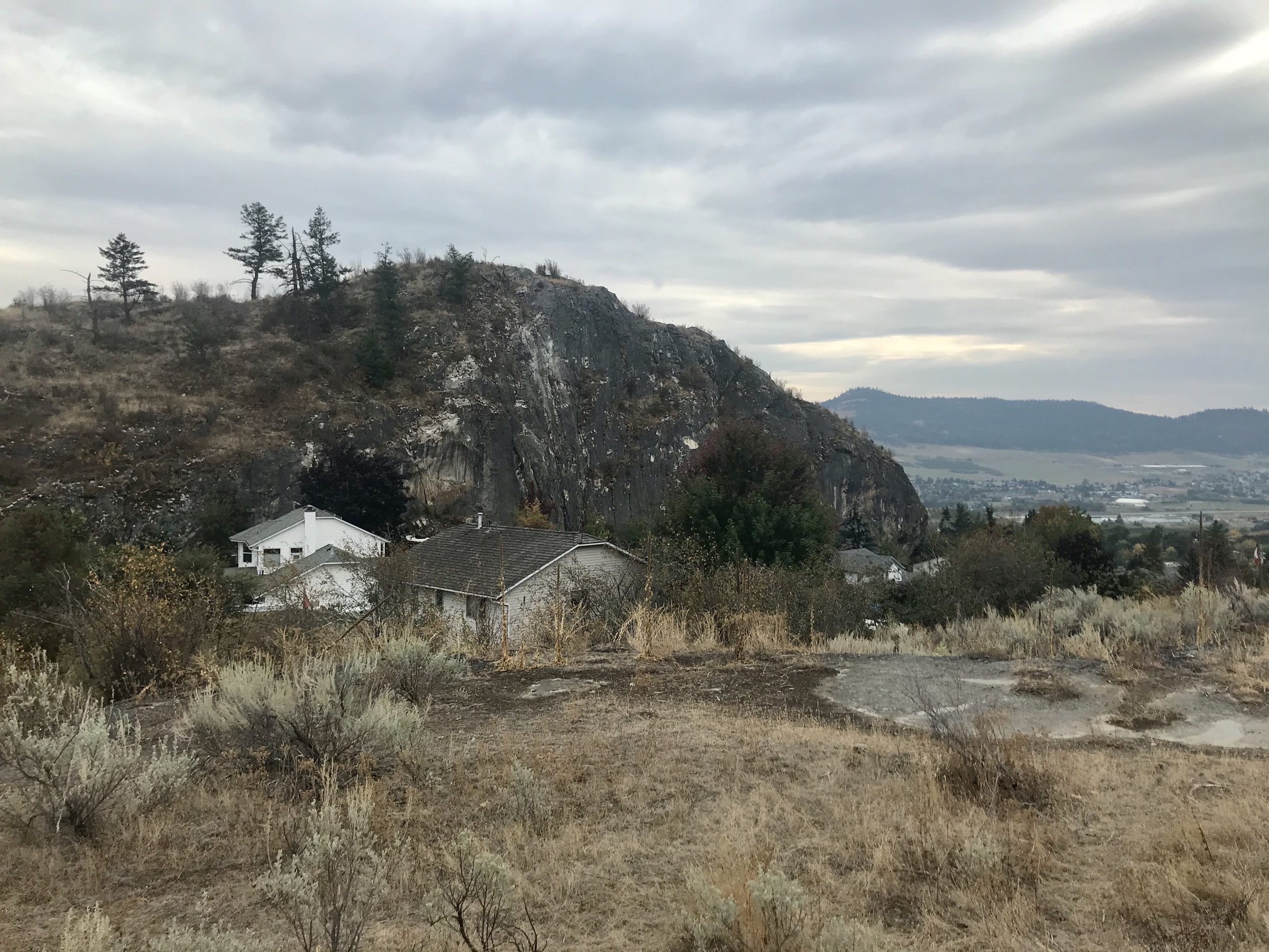
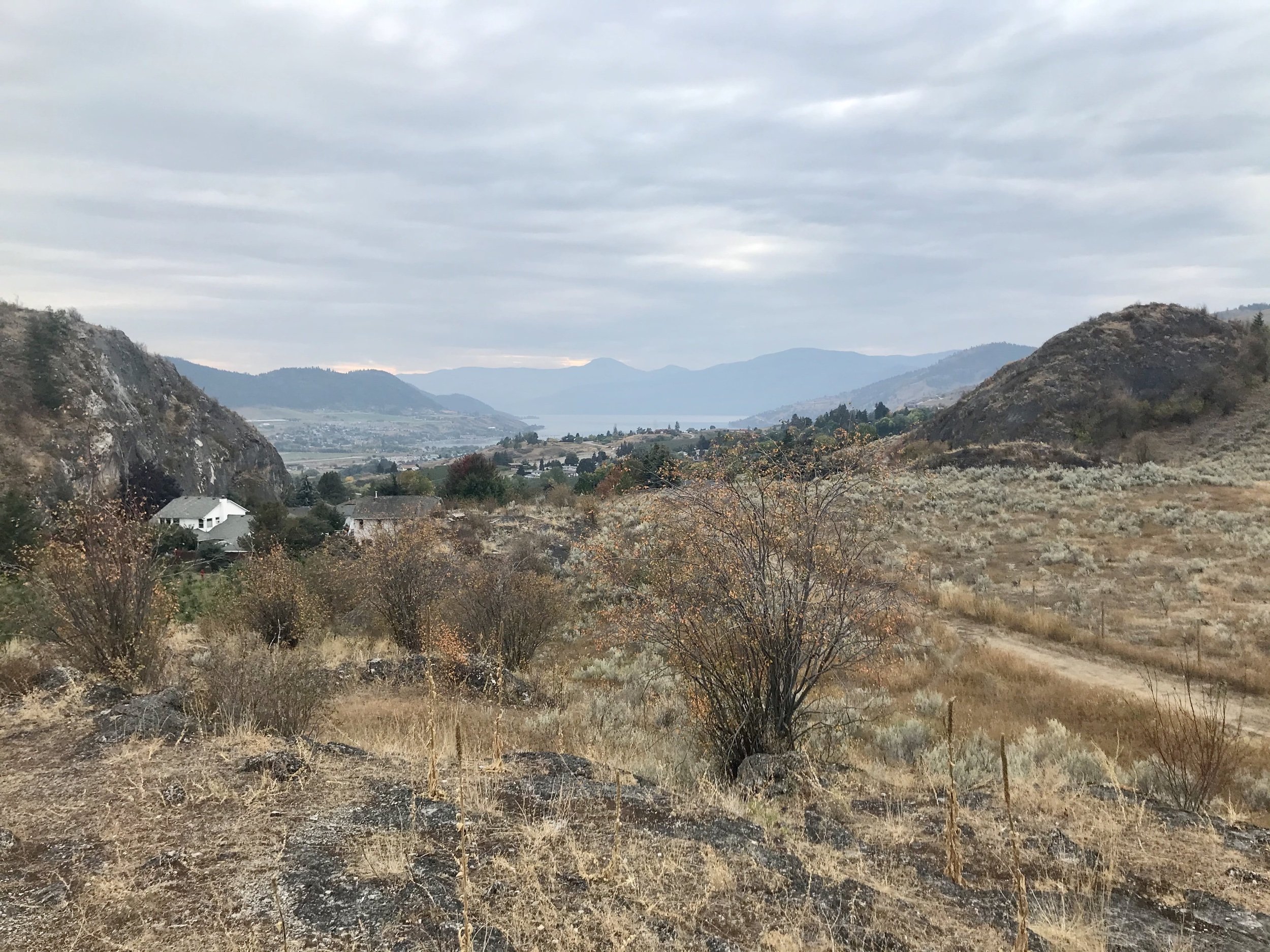
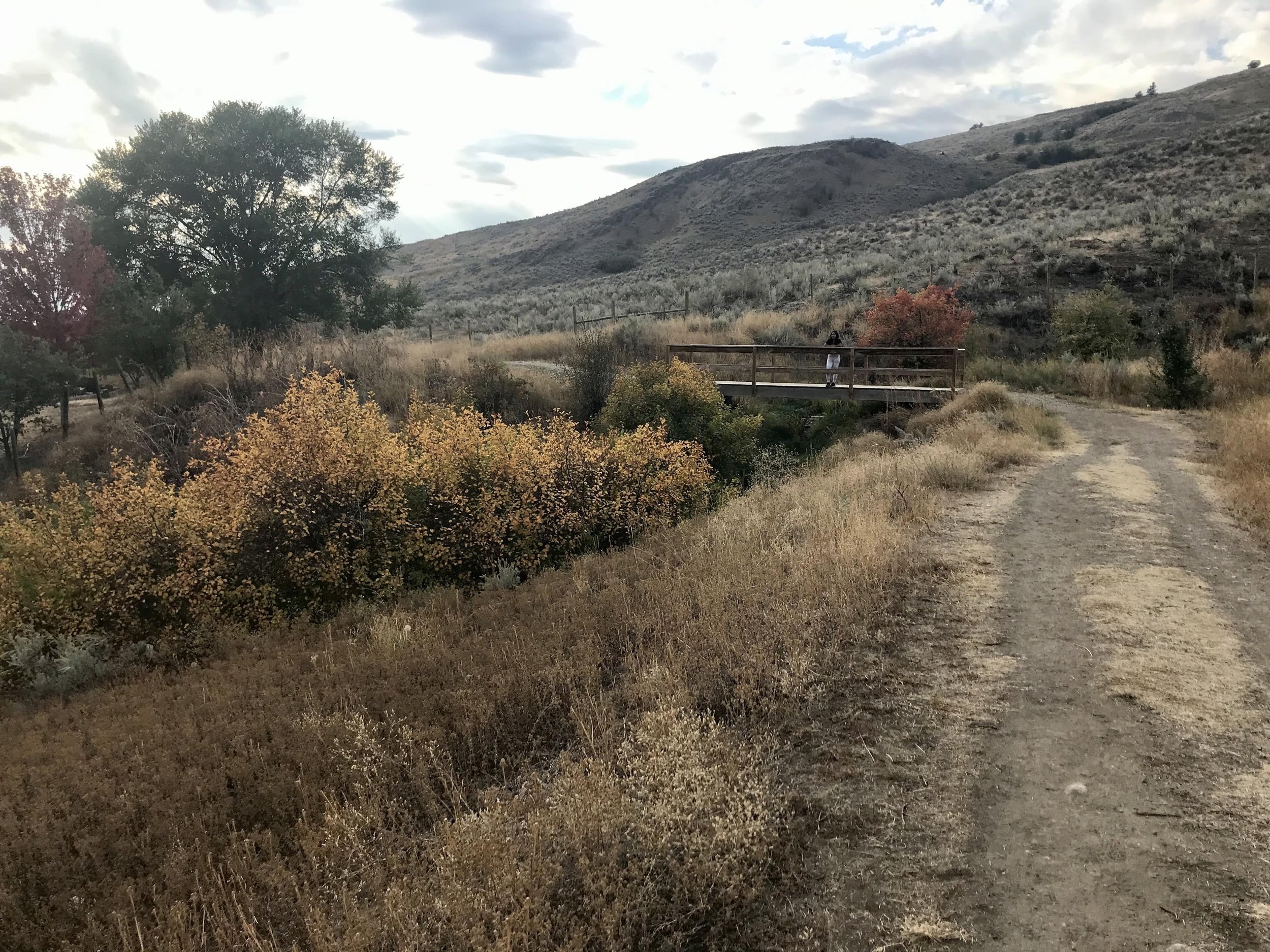
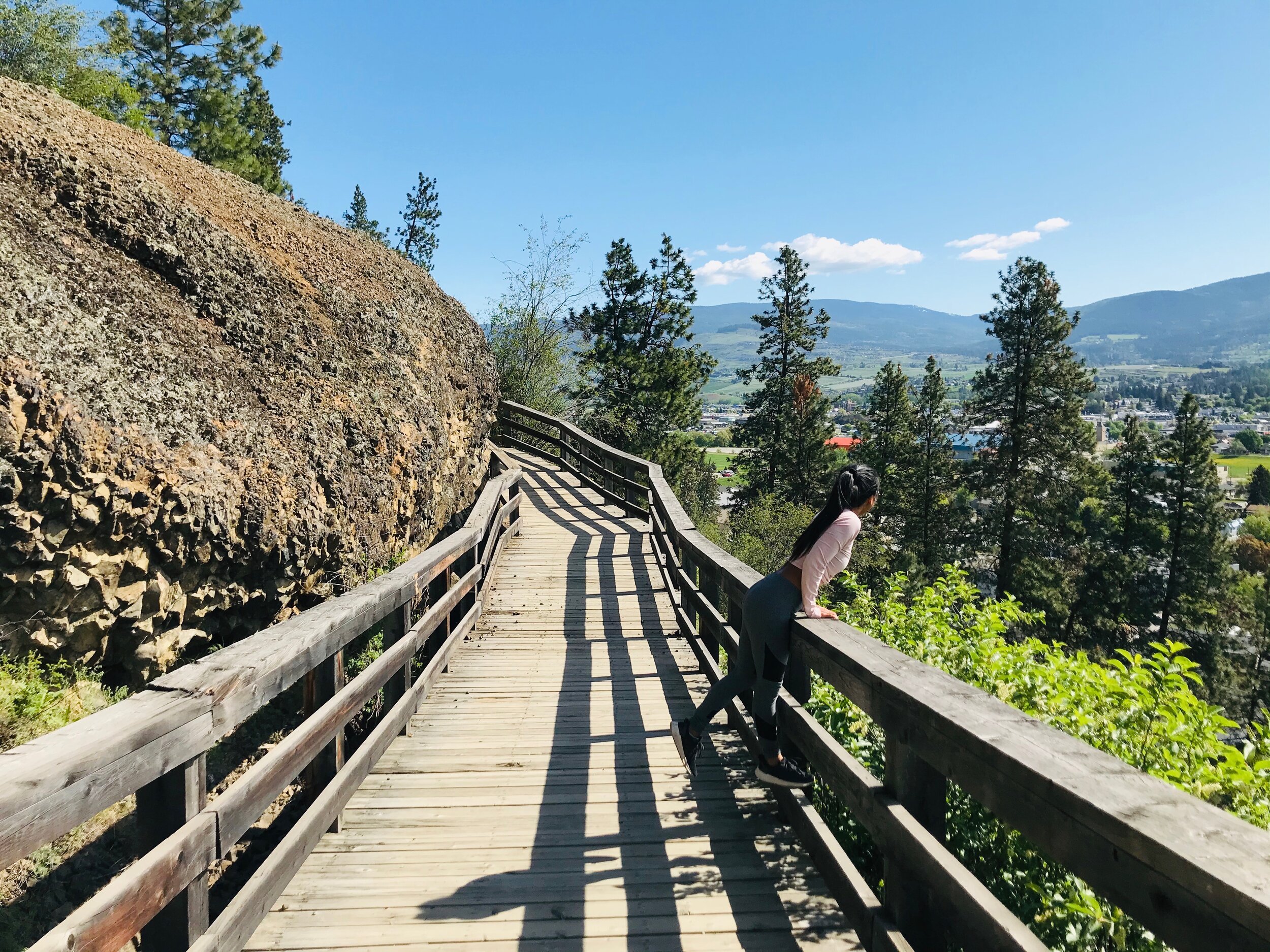
Turtle Mountain: Moderate, 3.5 km
The trail starts fairly easy but then heads down the mountainside to a wooden boardwalk that runs along the cliff of an ancient lava flow from a million years ago. The trail continues with an incline uphill and then levels out and continues for another 3.5 km to Blue Jay Road. This section shows off beautiful views of Swan Lake, Silver Star Mountain, Middleton Mountain, and the city.
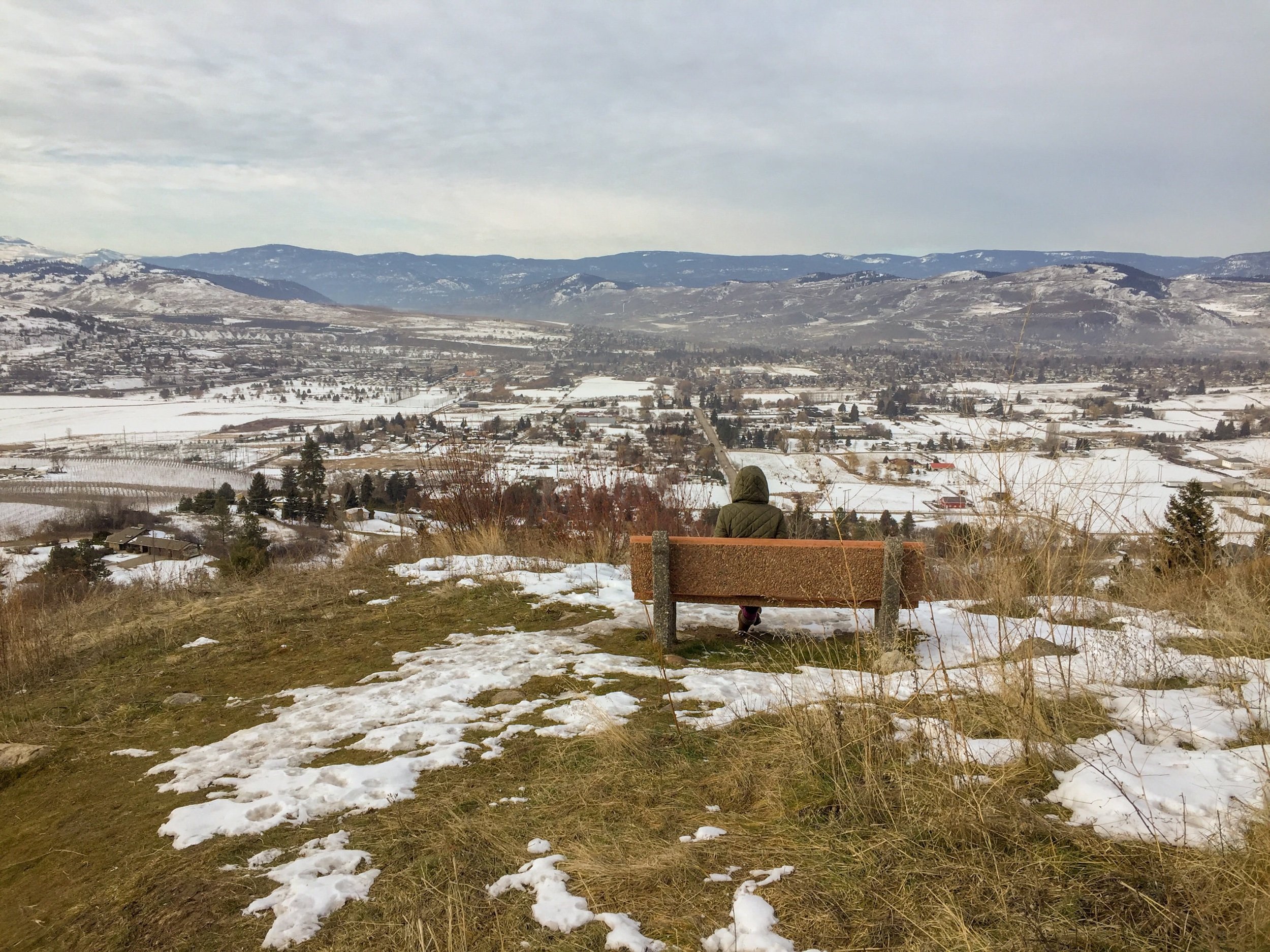
Rocky Ridge Park Trail: Moderate, 0.4 km
Also located on Turtle Mountain is Rocky Ridge Park which is a short 0.4 km trail leading to a wooden staircase that takes hikers up a volcanic hill to an outstanding viewpoint. At this viewpoint, visitors will enjoy a panoramic 360-degree view of Vernon. Another interesting and slightly dangerous attraction of this section is the abundance of prickly pear cacti that make the park home.
East Swan Lake: Easy, 4.3 Km
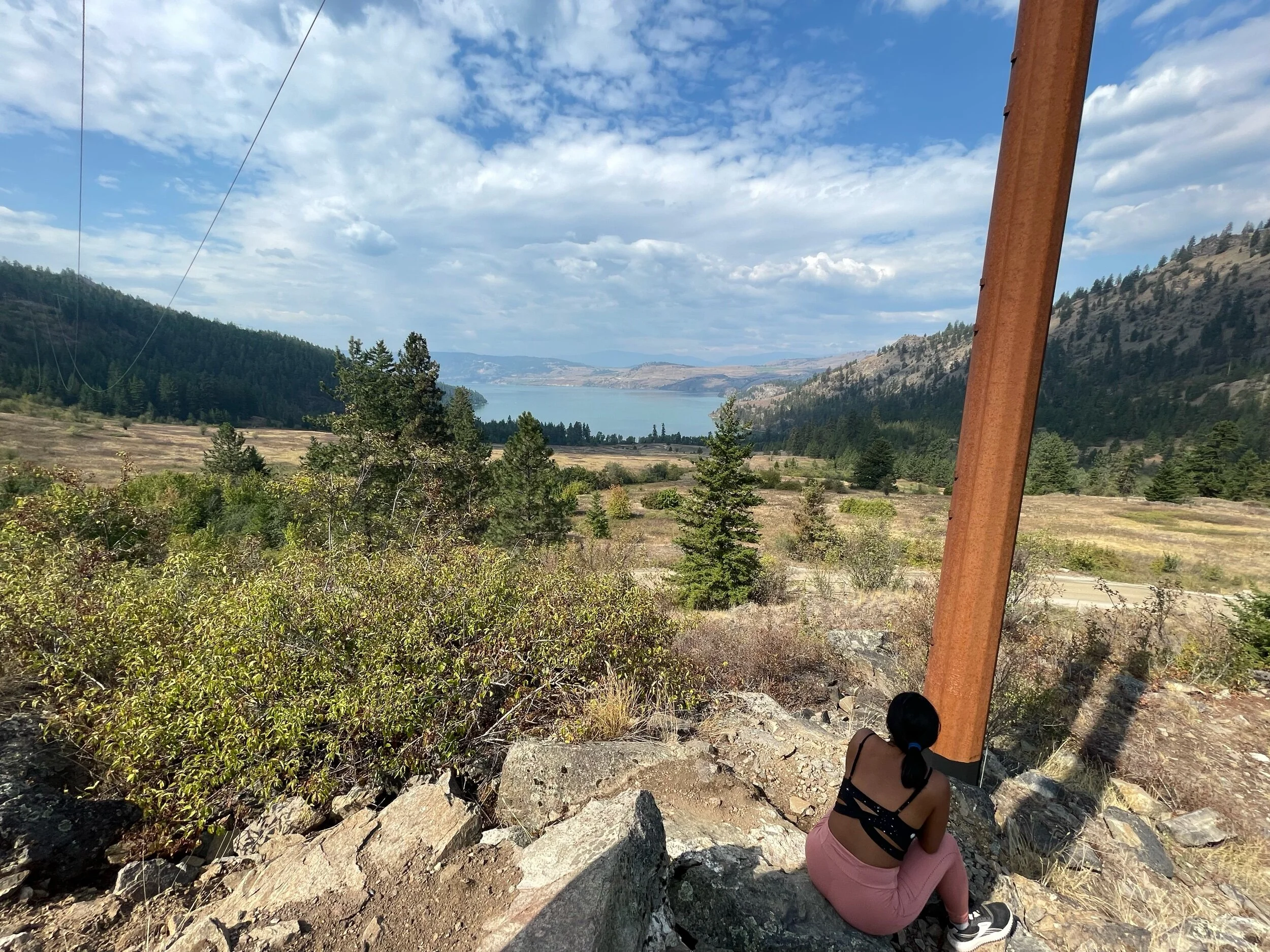
This section of the trail runs high along the hills above Swan Lake and features some remnants of the old canal. This trail also boasts great views of Swan Lake, Vernon, and the Spallumcheen Valley.
Foothills: Moderate, 2.5 km
This section of the canal is situated below the Foothills subdivision of Vernon. There are excellent views from Middleton Mountain, Swan Lake, and the Spallumcheen Valley.
Foothills connection to BX Falls: Moderate, 0.8 km
This short section is only 800 meters in length and is an easy gravel trail crossing Silver Star Road. it provides a connection from the Foothills subdivision to the BX Creek Trailhead.
Boss Creek: Difficult
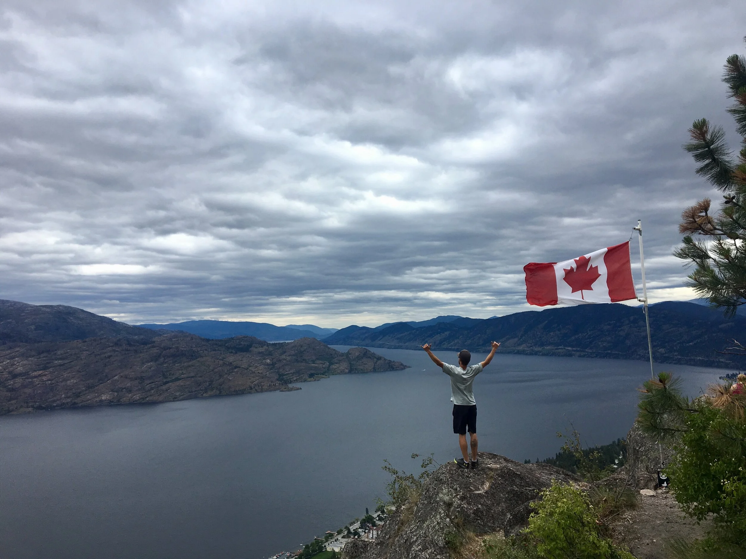
The Boss Creek Trails offer spectacular views looking out over East Vernon, Swan Lake, Okanagan Lake, and Kalamalka Lake. The trail starts out flat and easy leading through a forested area where one can find Boss Creek and a small seasonal waterfall. After the waterfall, the trail quickly heads up the mountain for a nice slightly difficult hike. The path connects with several more mountain trails that continue on up the mountain.
Coldstream Valley Estates: Difficult, 1.3 km
This particular trail takes hikers high along Vernon Hill where they will take in a bird's-eye view of Coldstream, Kalamalka Lake, Okanagan Lake, and Swan Lake.
Grey Canal Trail, Vernon, British Columbia

Grey Canal Trail, Vernon, British Columbia