Mount Roberts Hiking Trail, Rossland, BC
About Mt Roberts, Kootenays, British Columbia
Length: 7.76 km
Elevation Gain: 862 m
Time: 4.5 hours
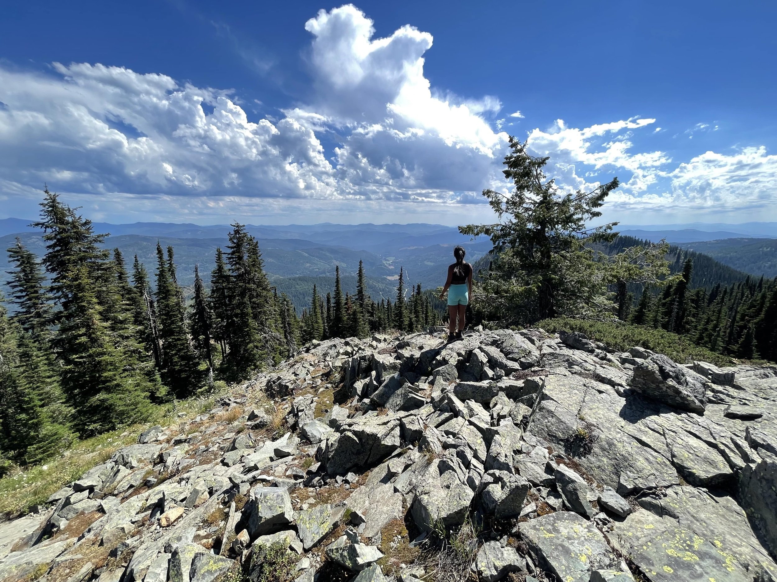
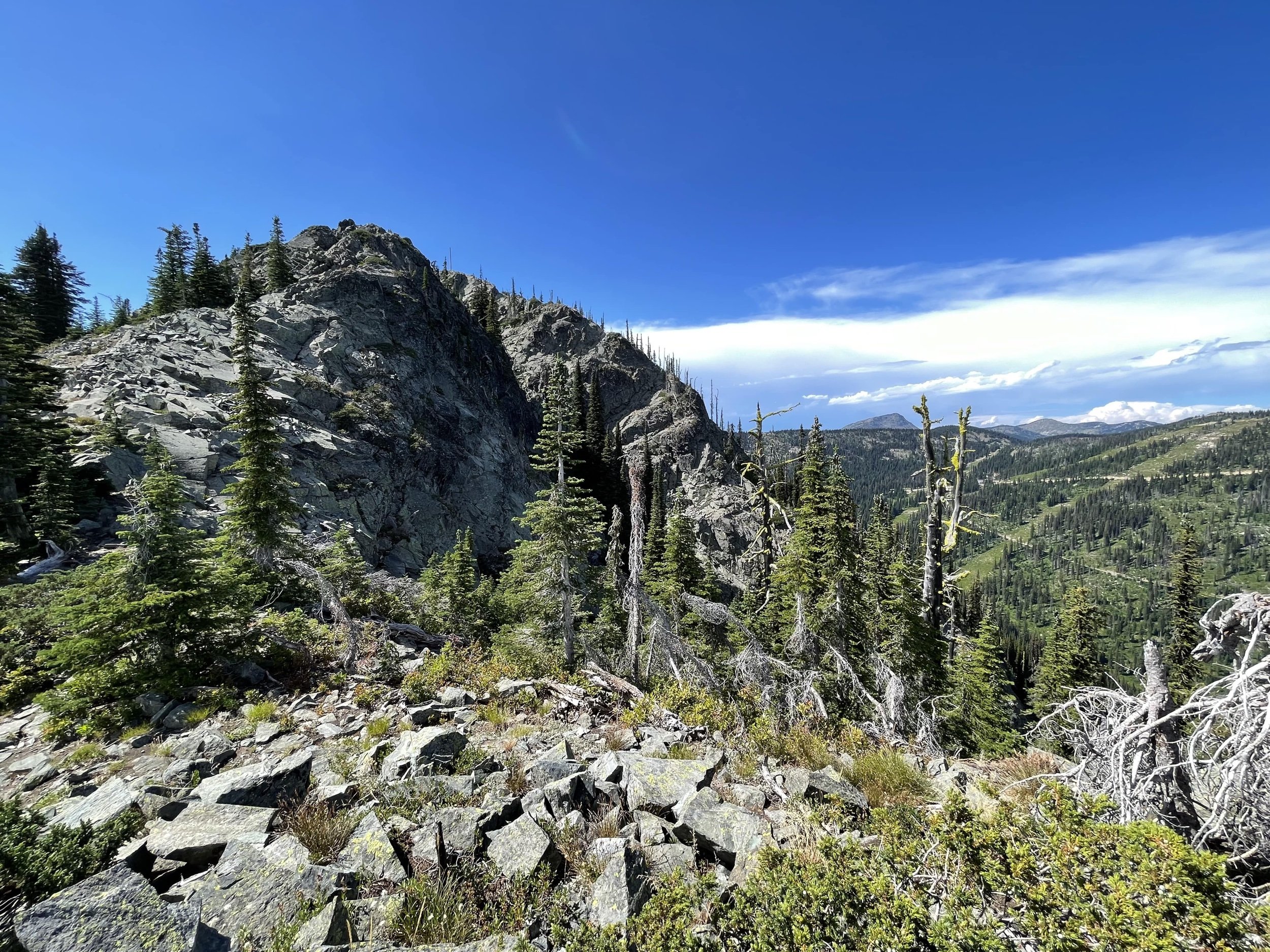
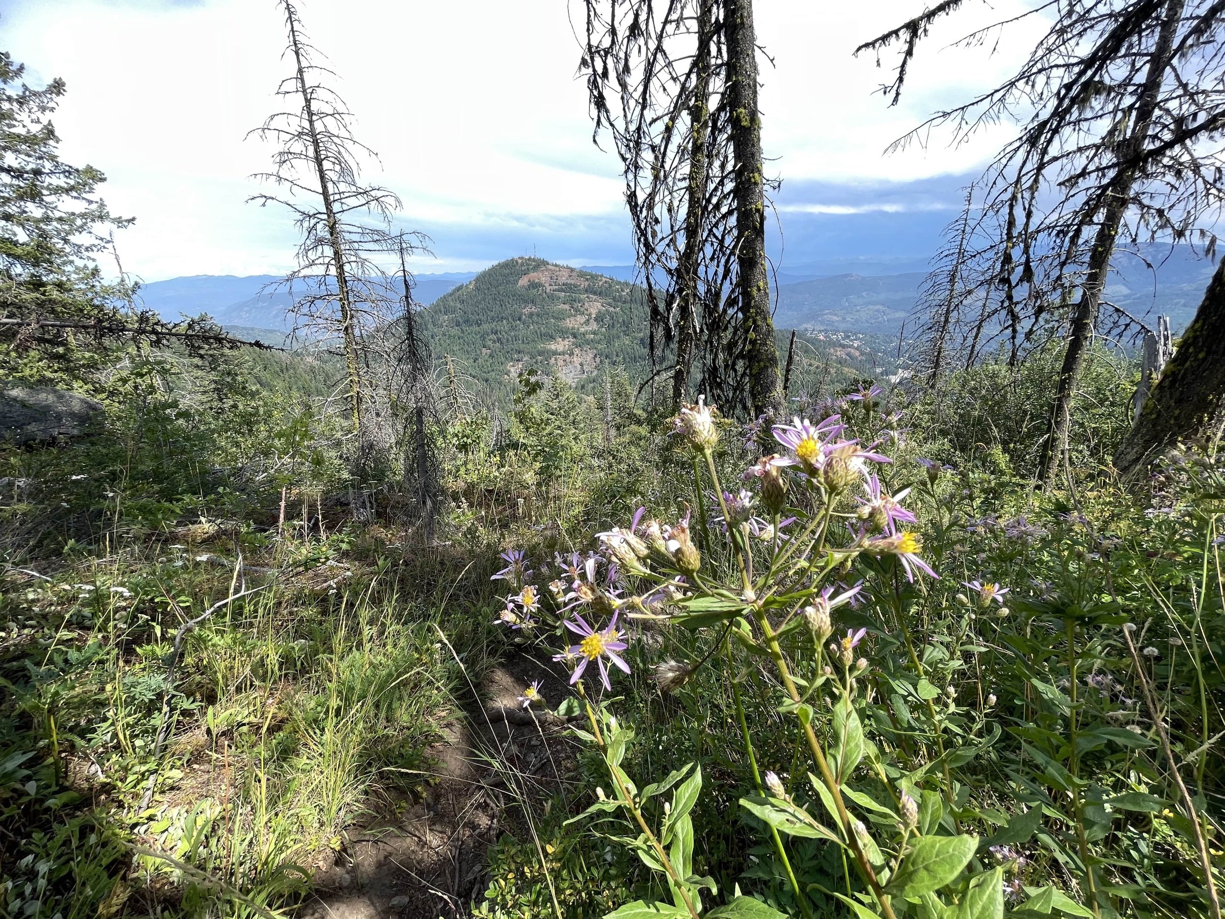
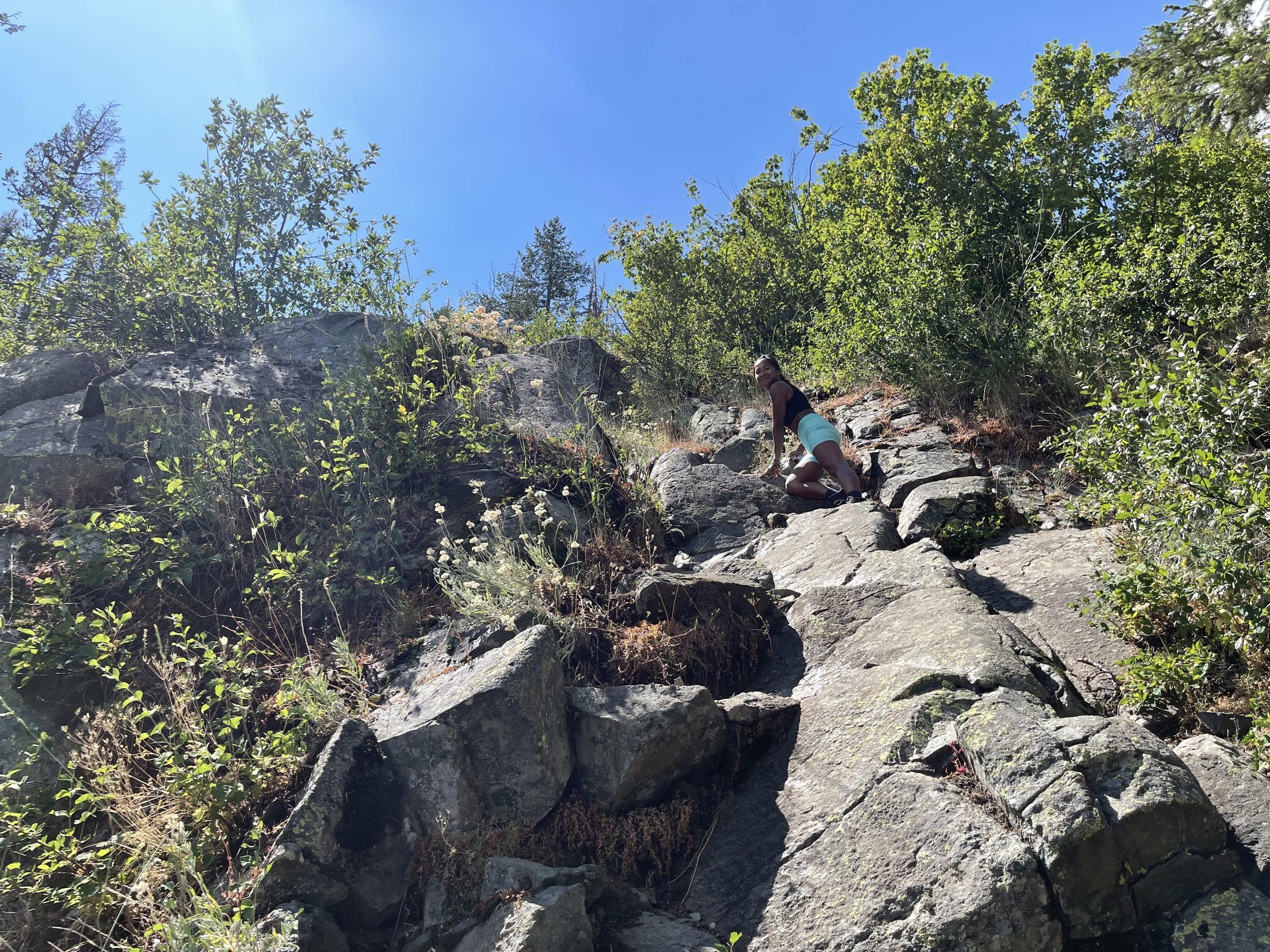
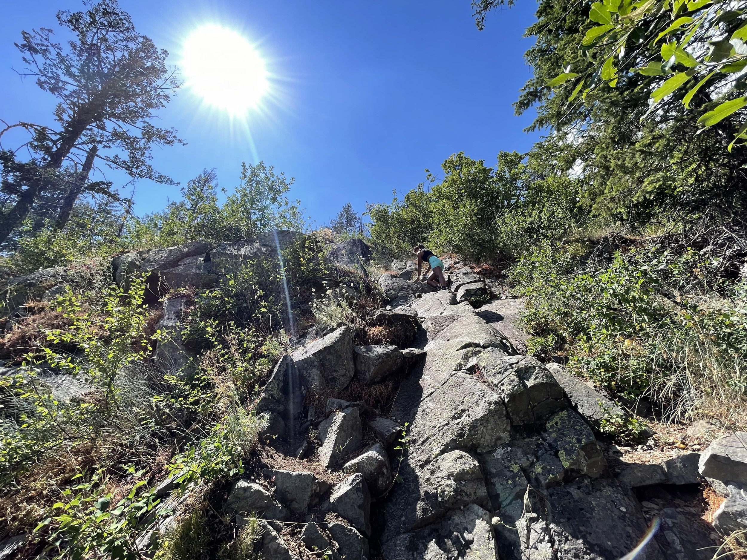
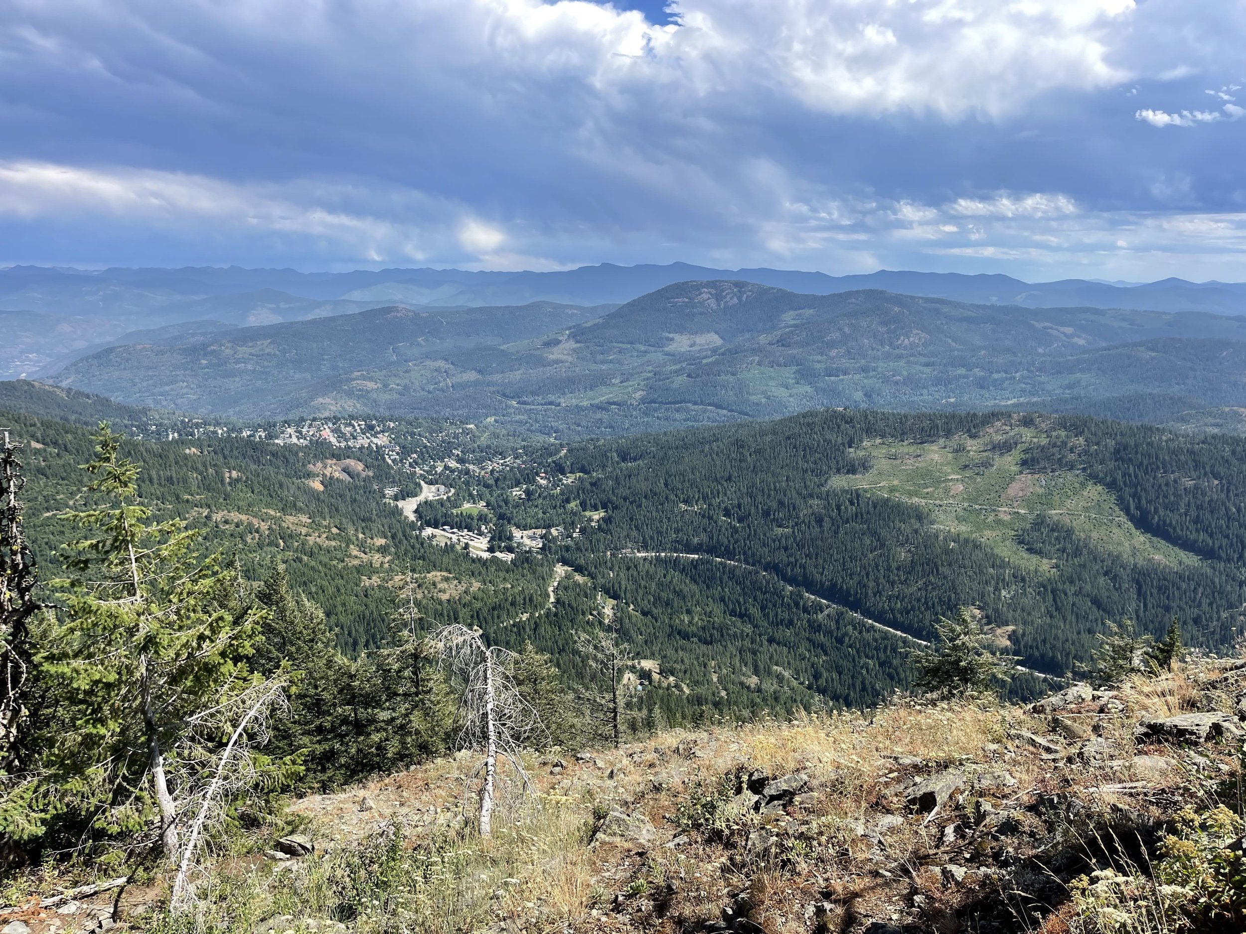
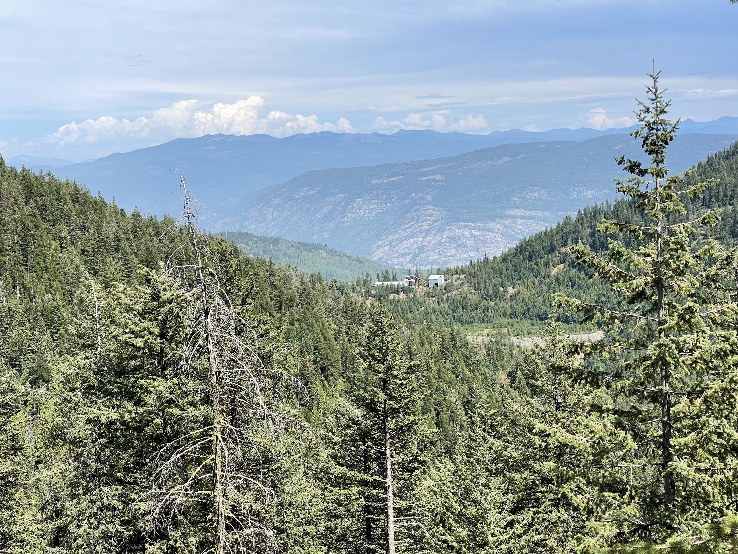
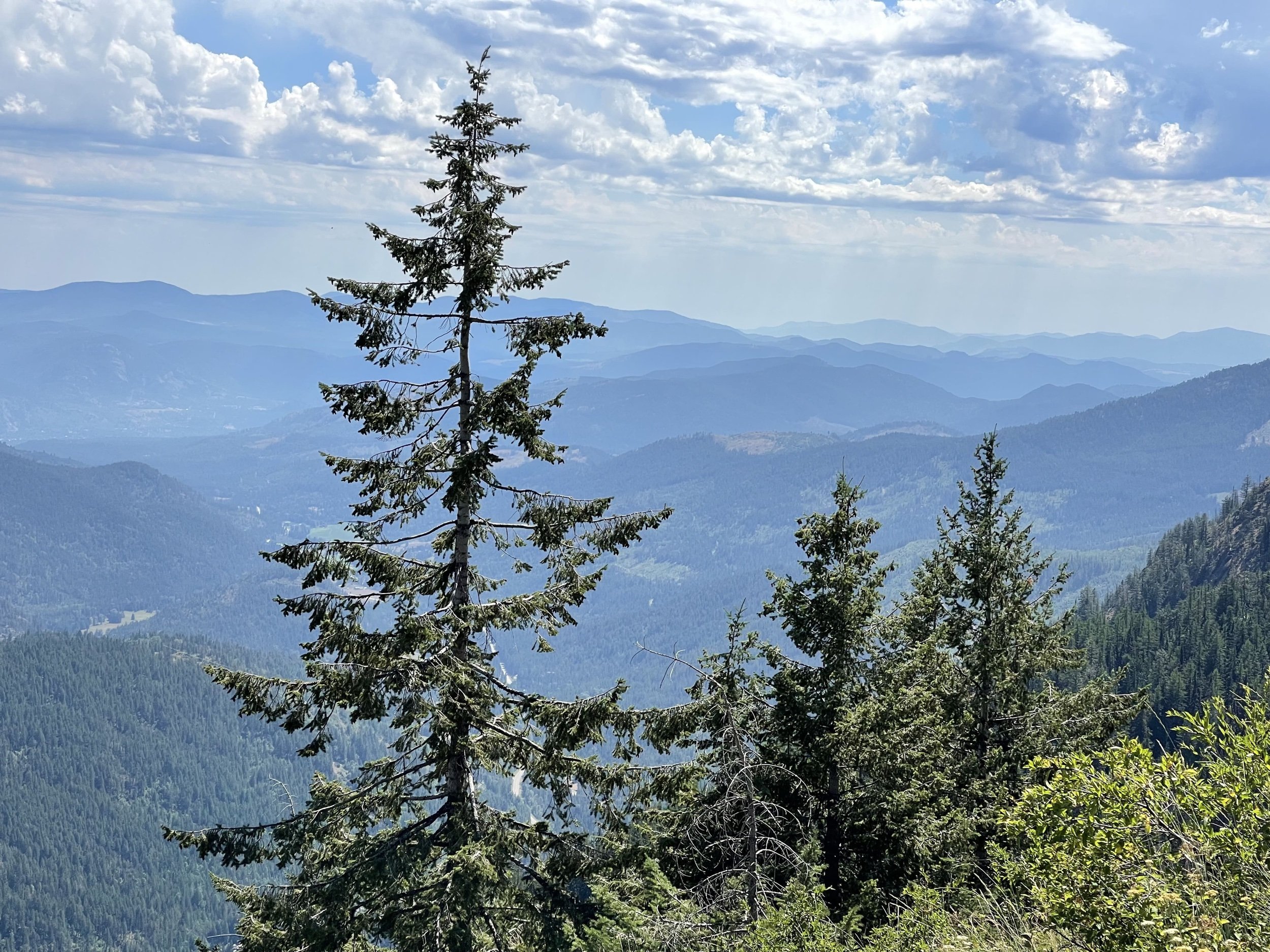
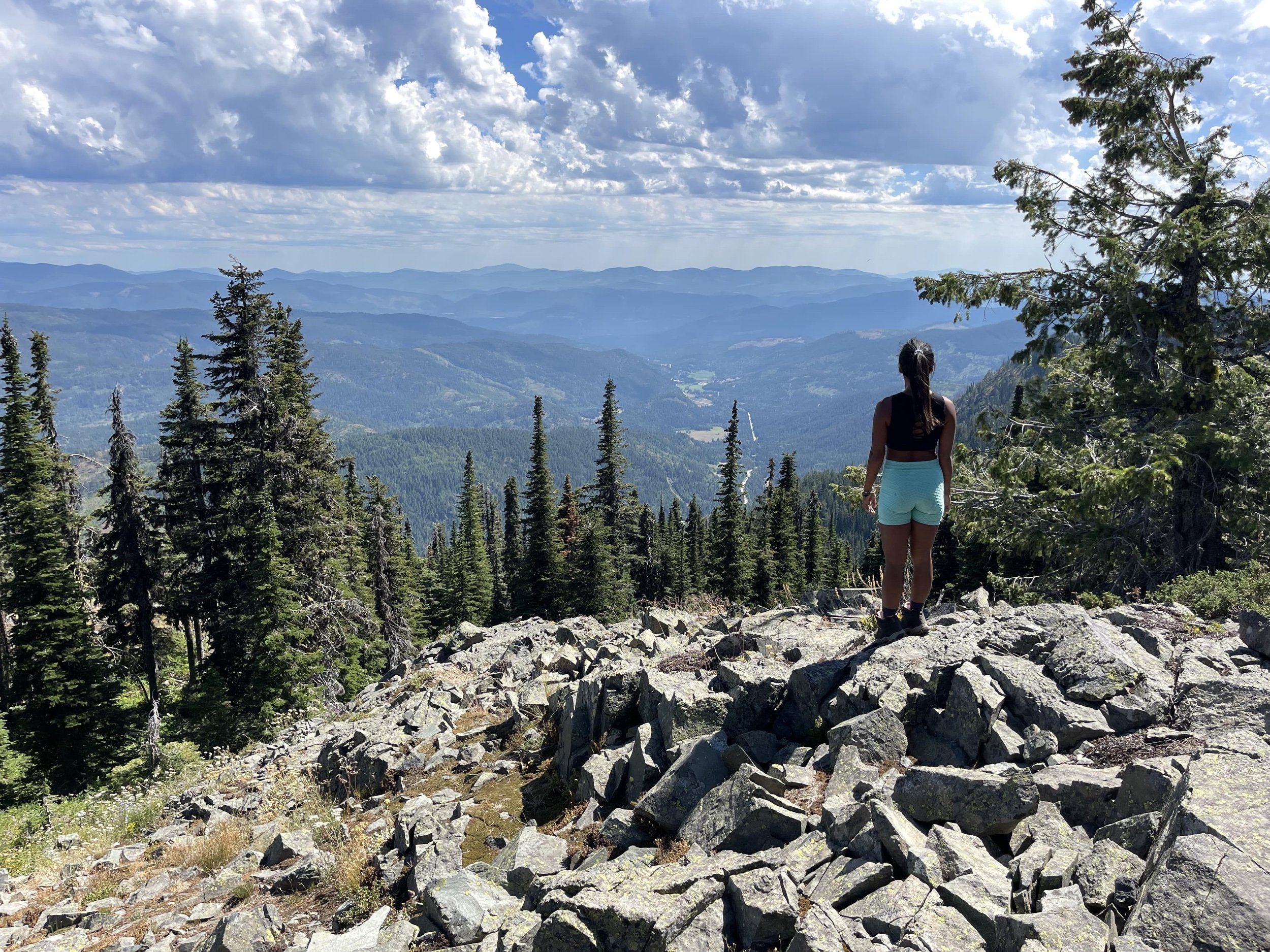
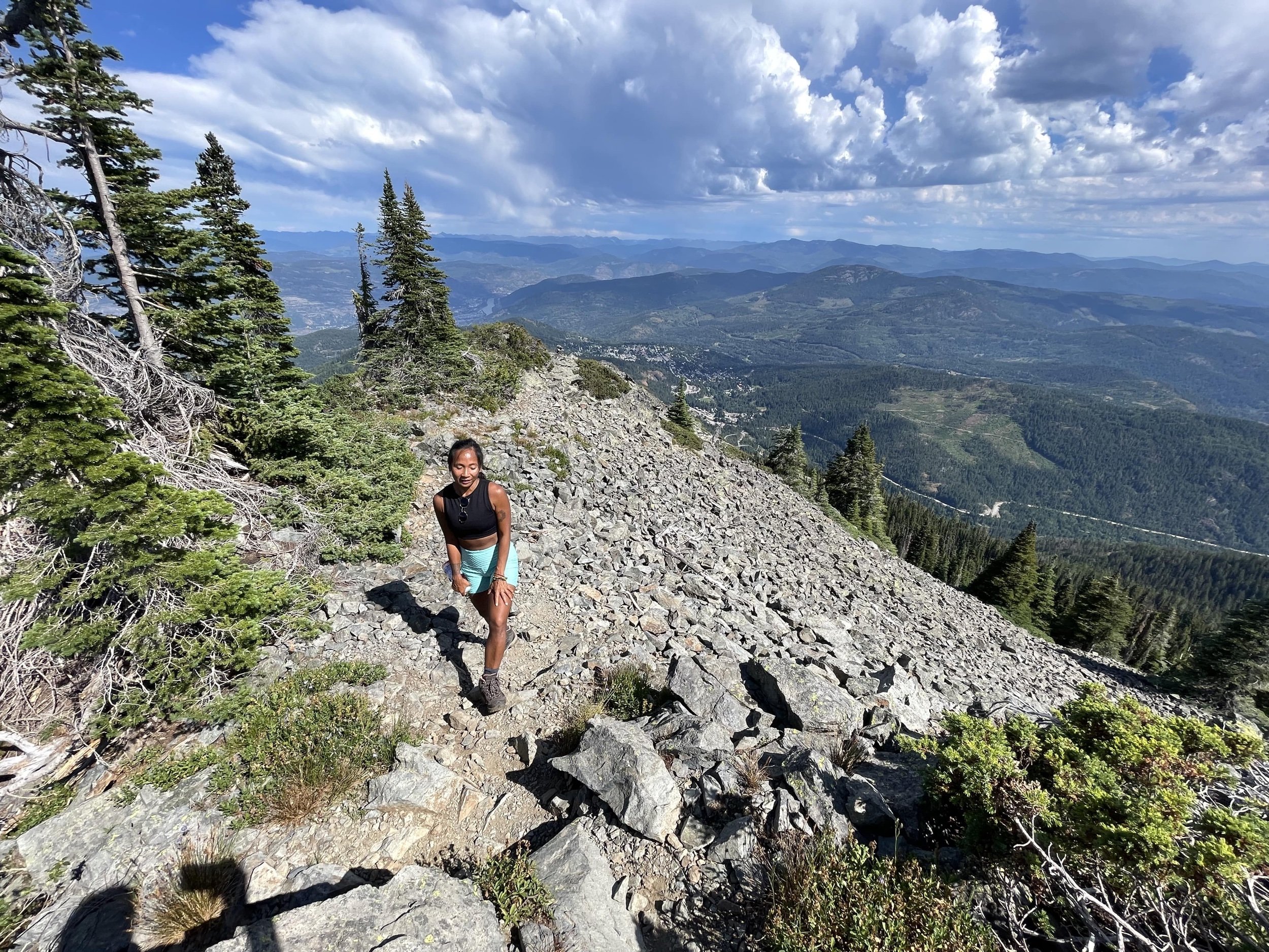
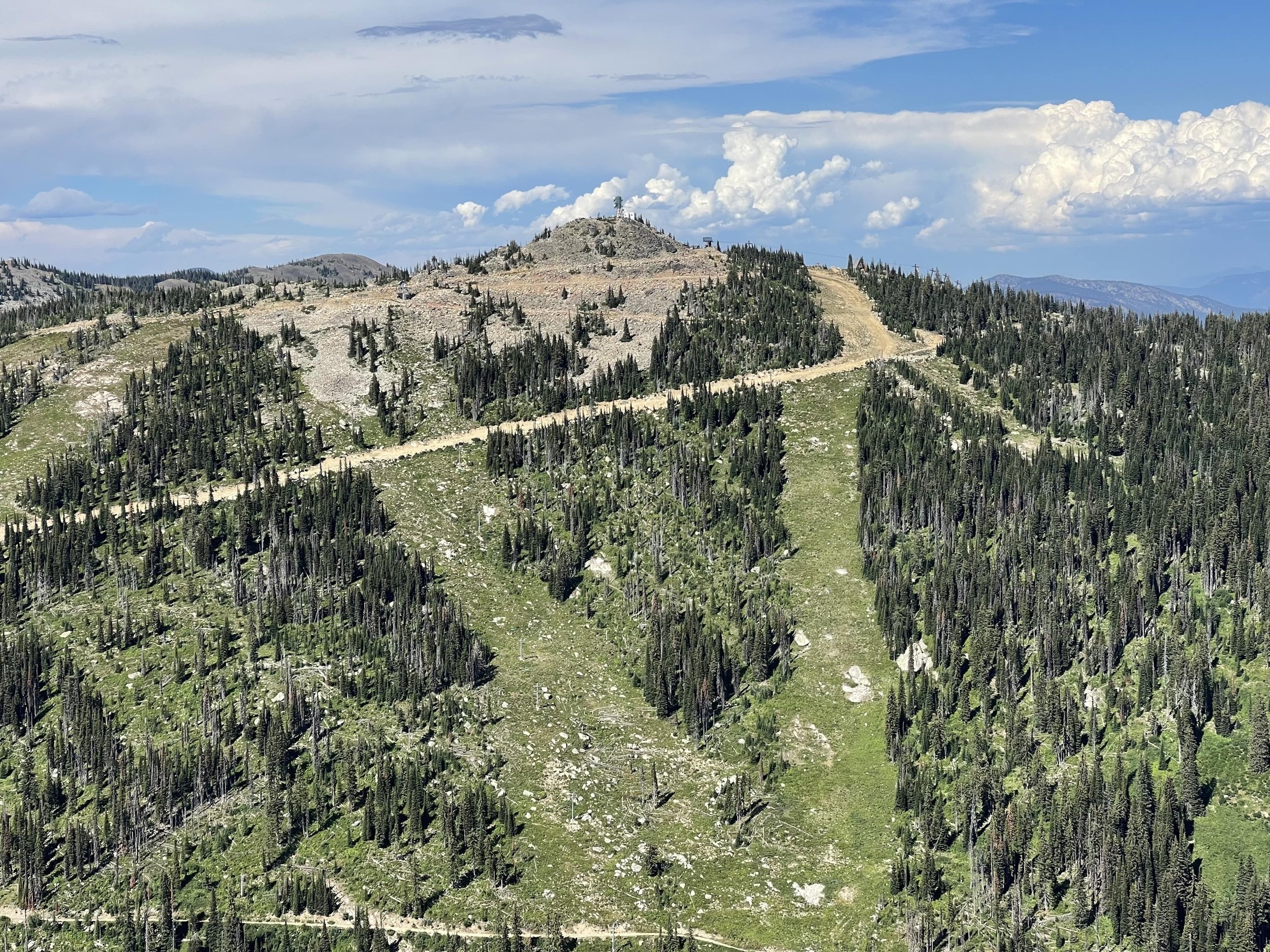
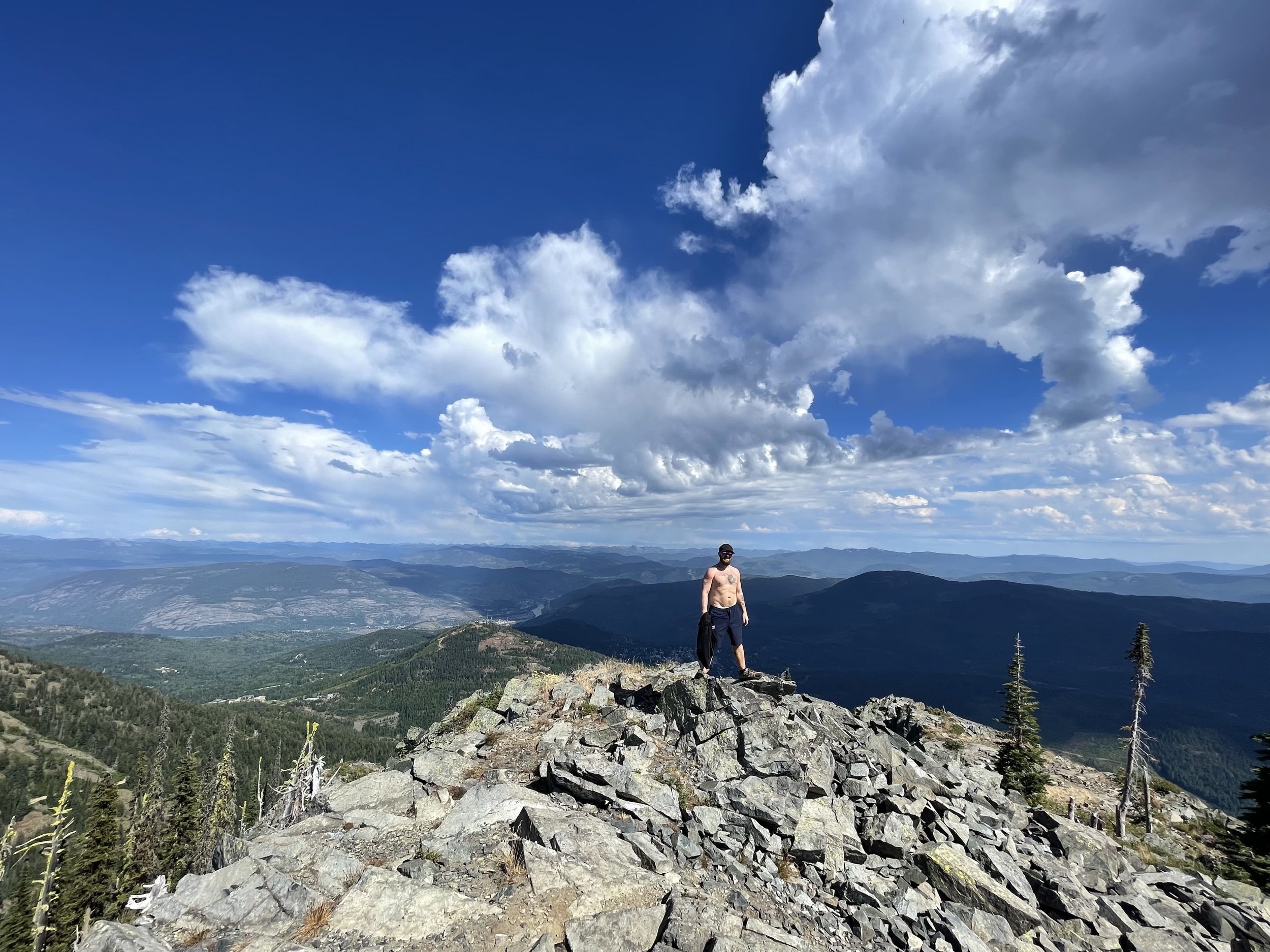
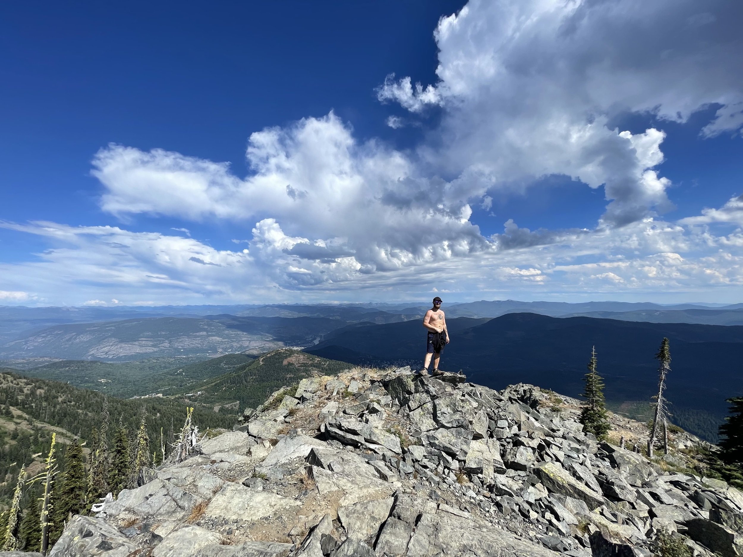
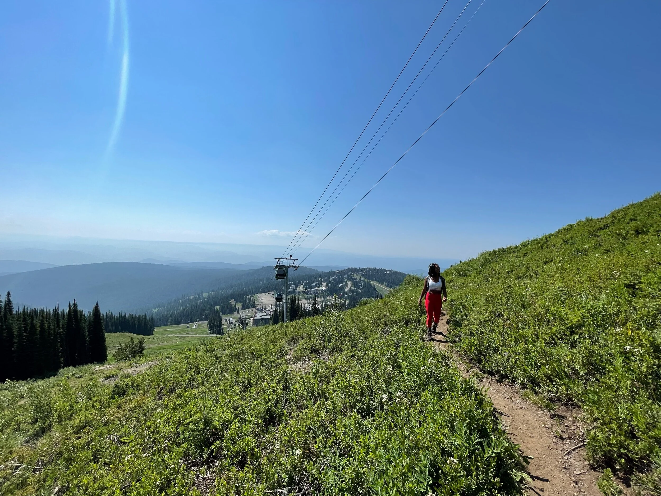
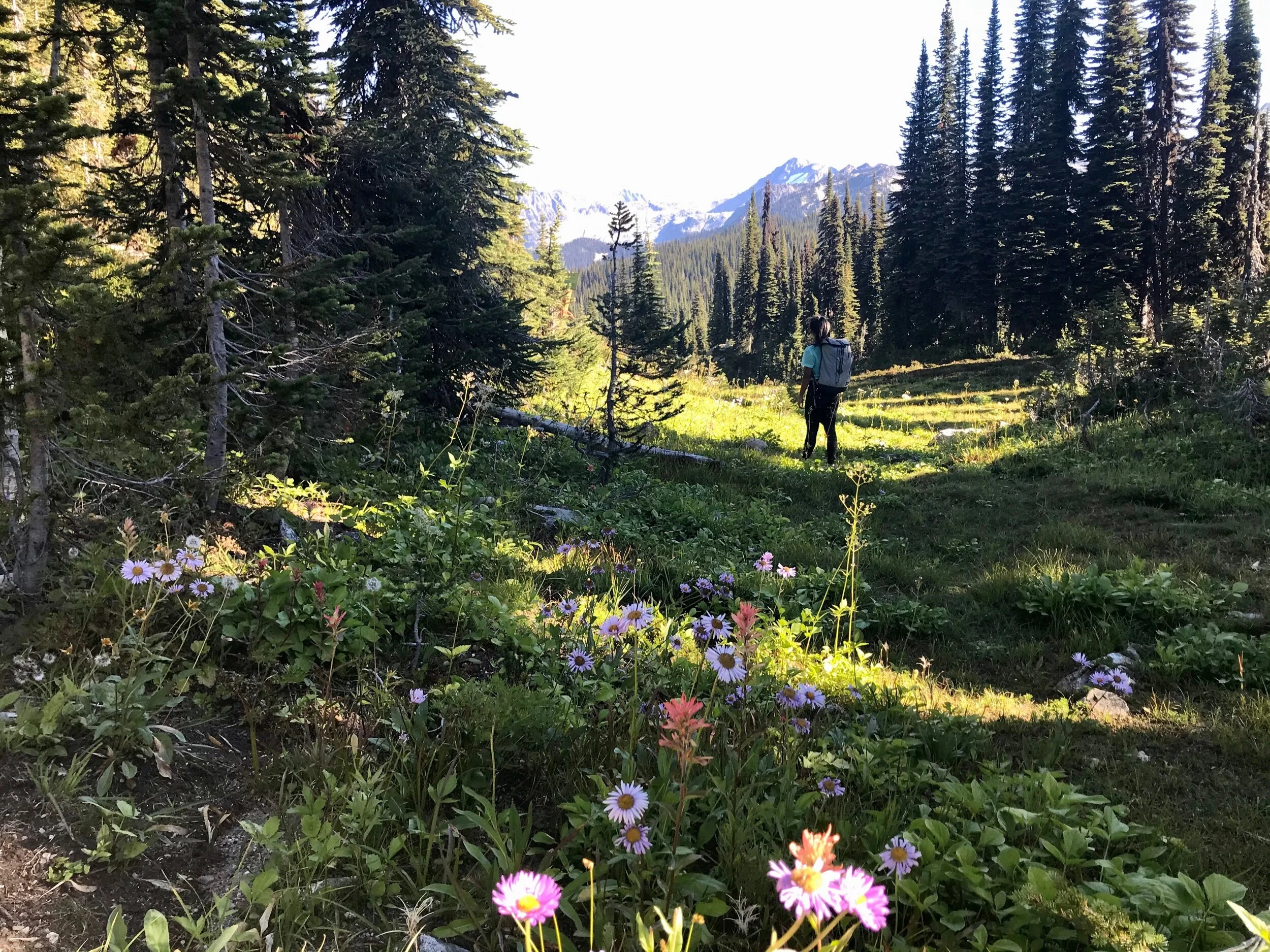
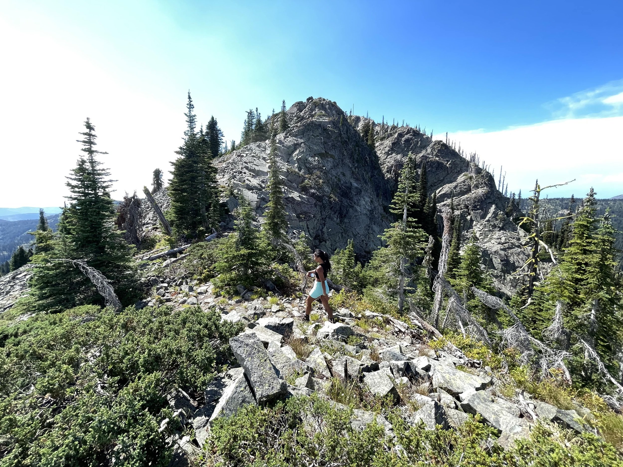
Mount Roberts is located in Rossland, British Columbia, and sits high in the Monashee Mountains of the Kootenays region. This local favorite provides a hardcore uphill battle, going from a gradual path of moderate difficulty to an energy-sapping four-limb scramble up to the summit. This 5-hour trek leads hikers through a variety of environments, including dense forest areas at the base of the mountain, to steep, rugged alpine terrain towards the peak. Depending on the time of year, hikers will enjoy a beautiful display of different wildflower varieties and can indulge themselves with blueberries, thimbleberries, and Saskatoon berries.
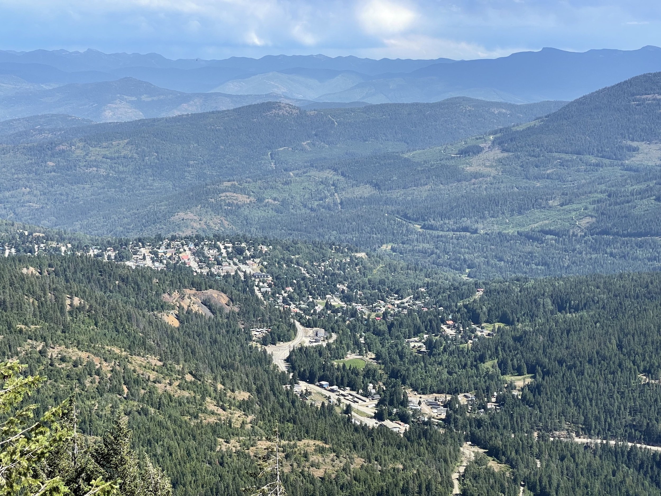
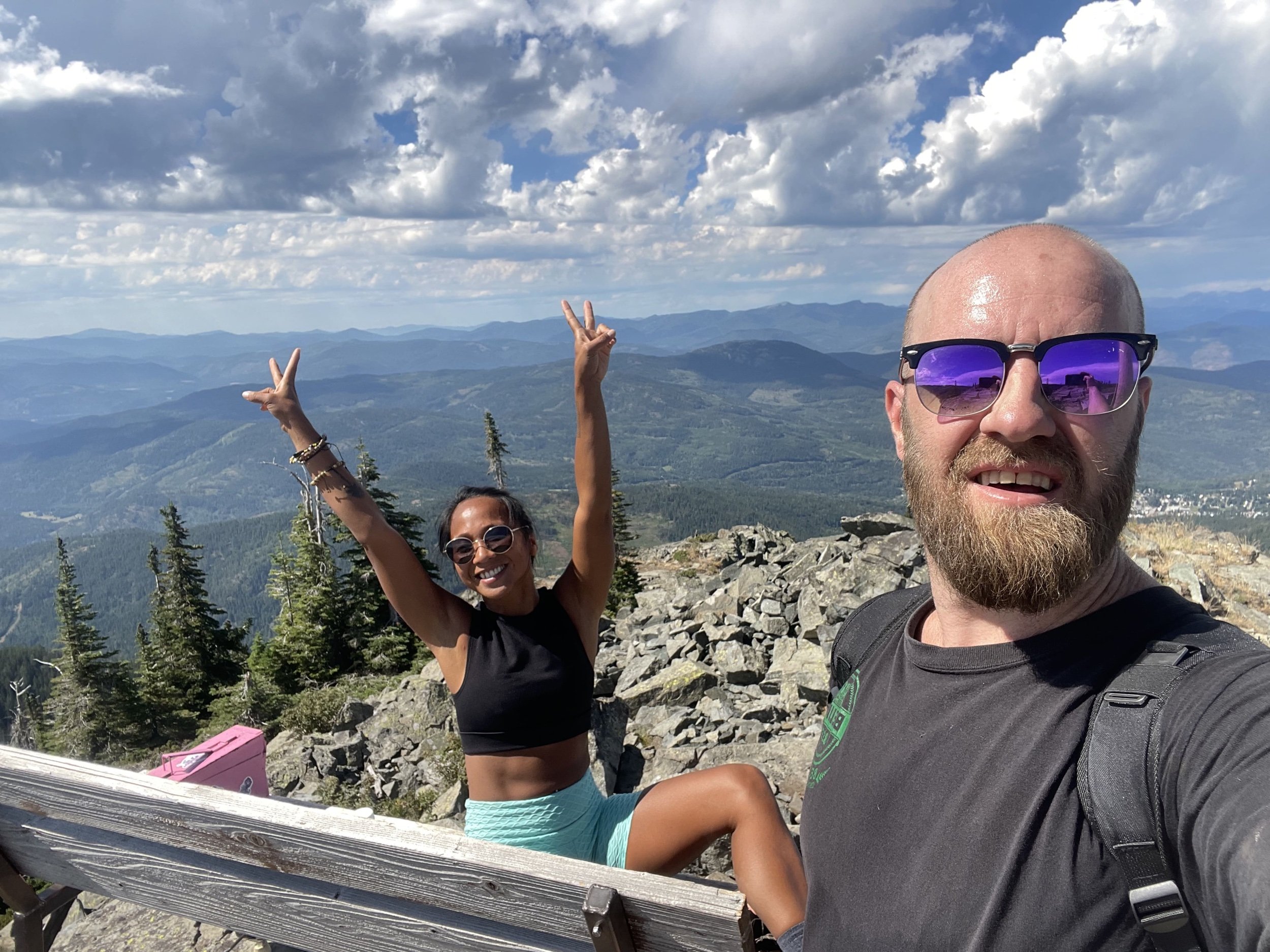
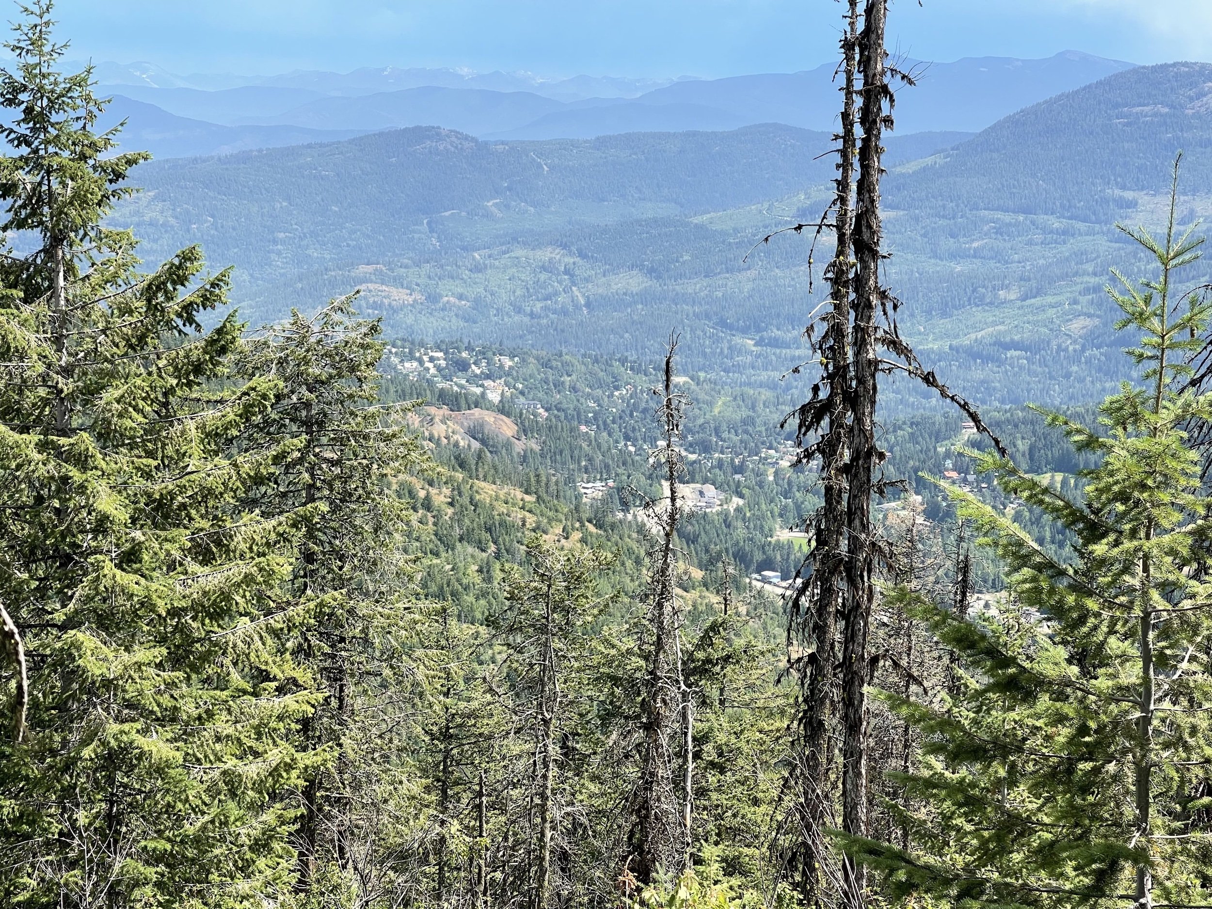
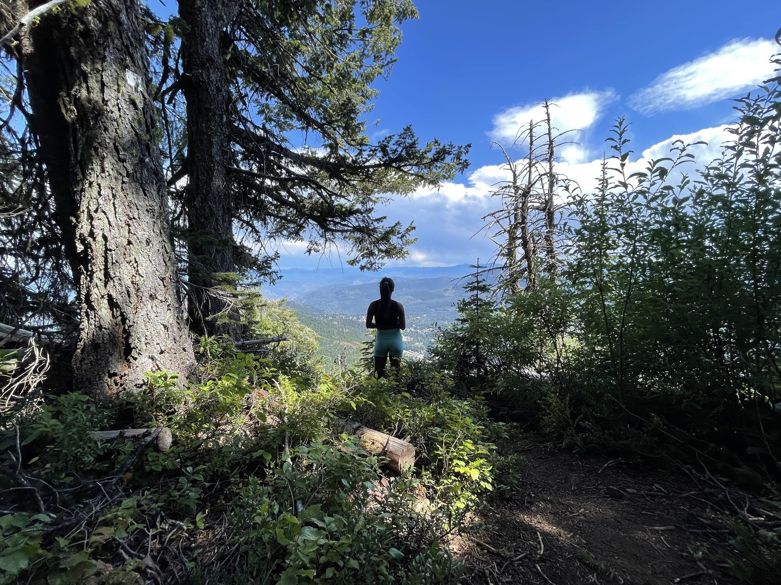
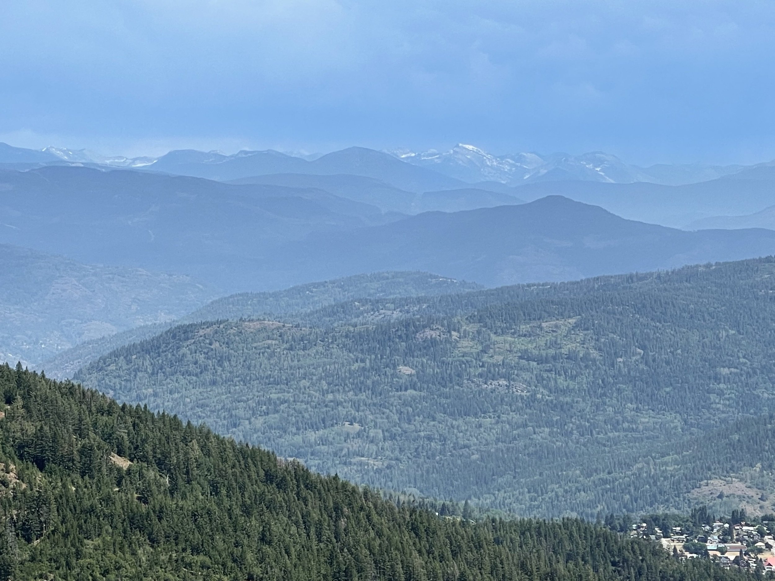
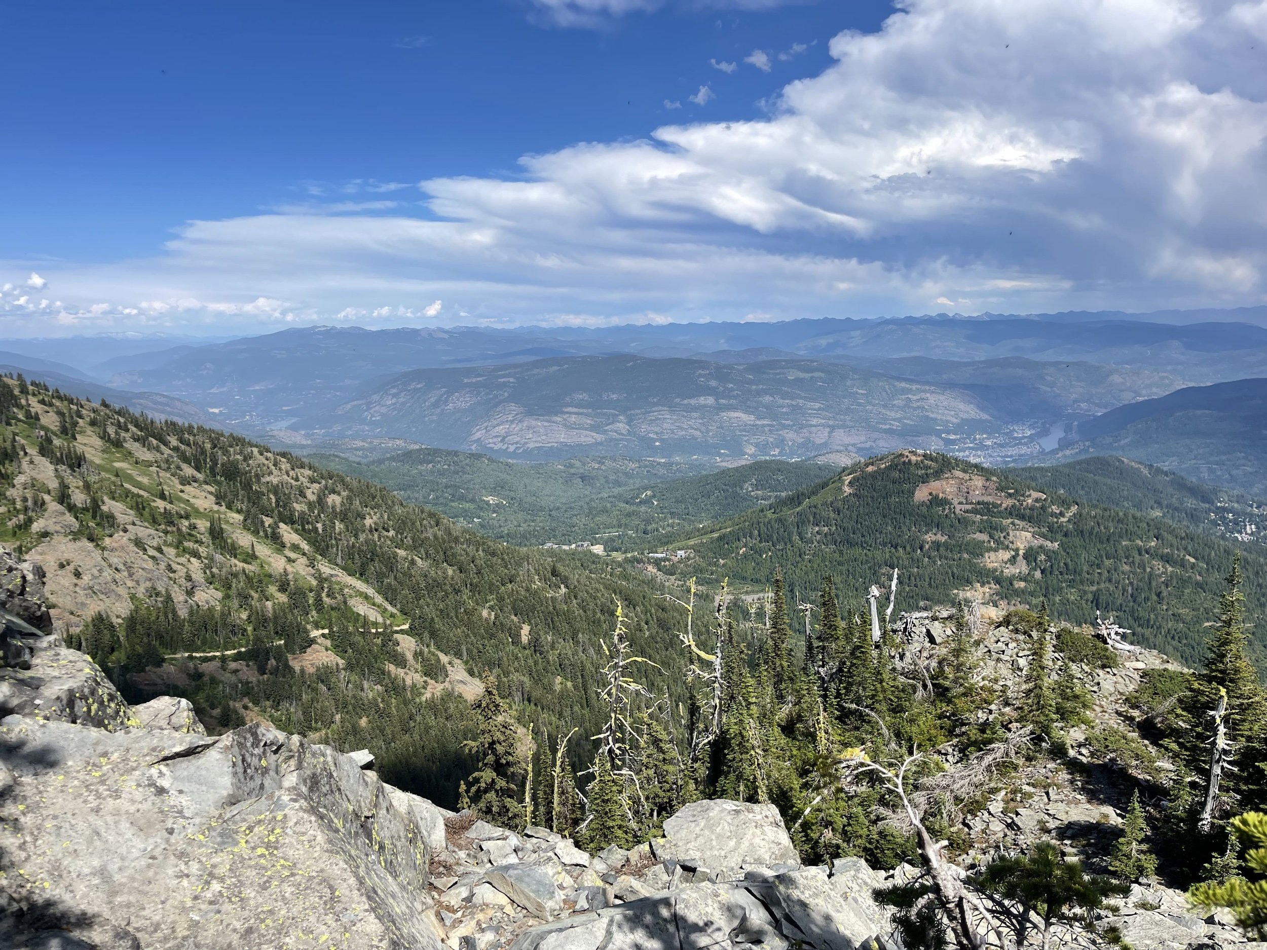
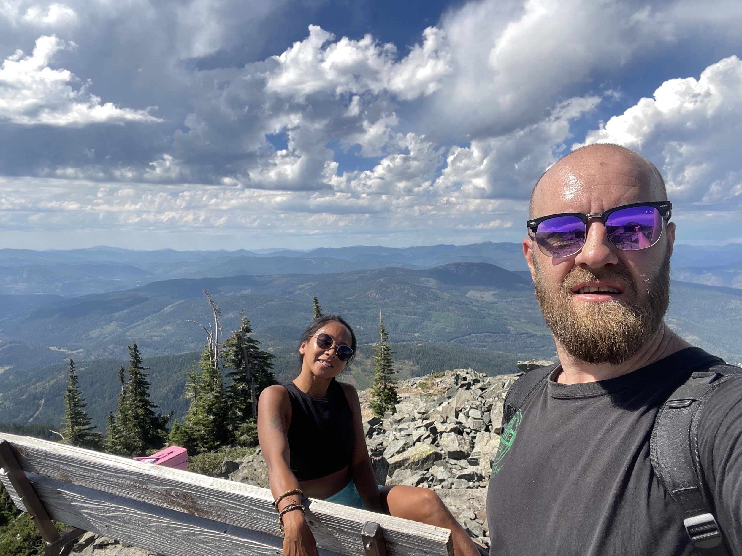
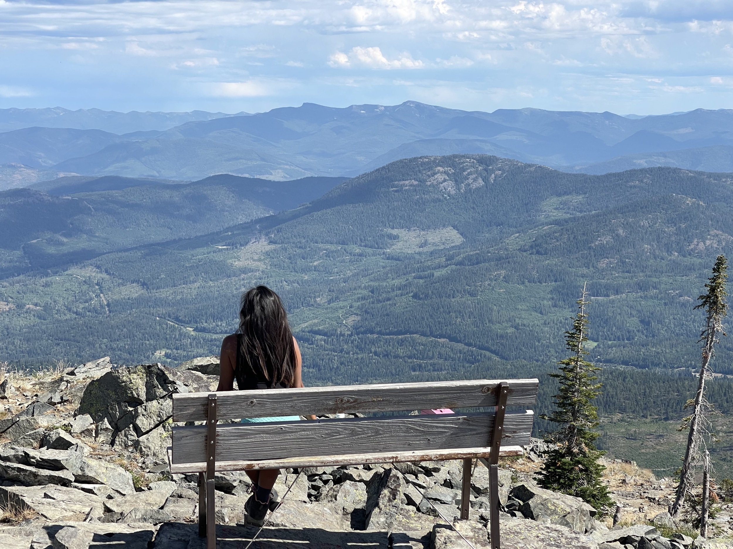
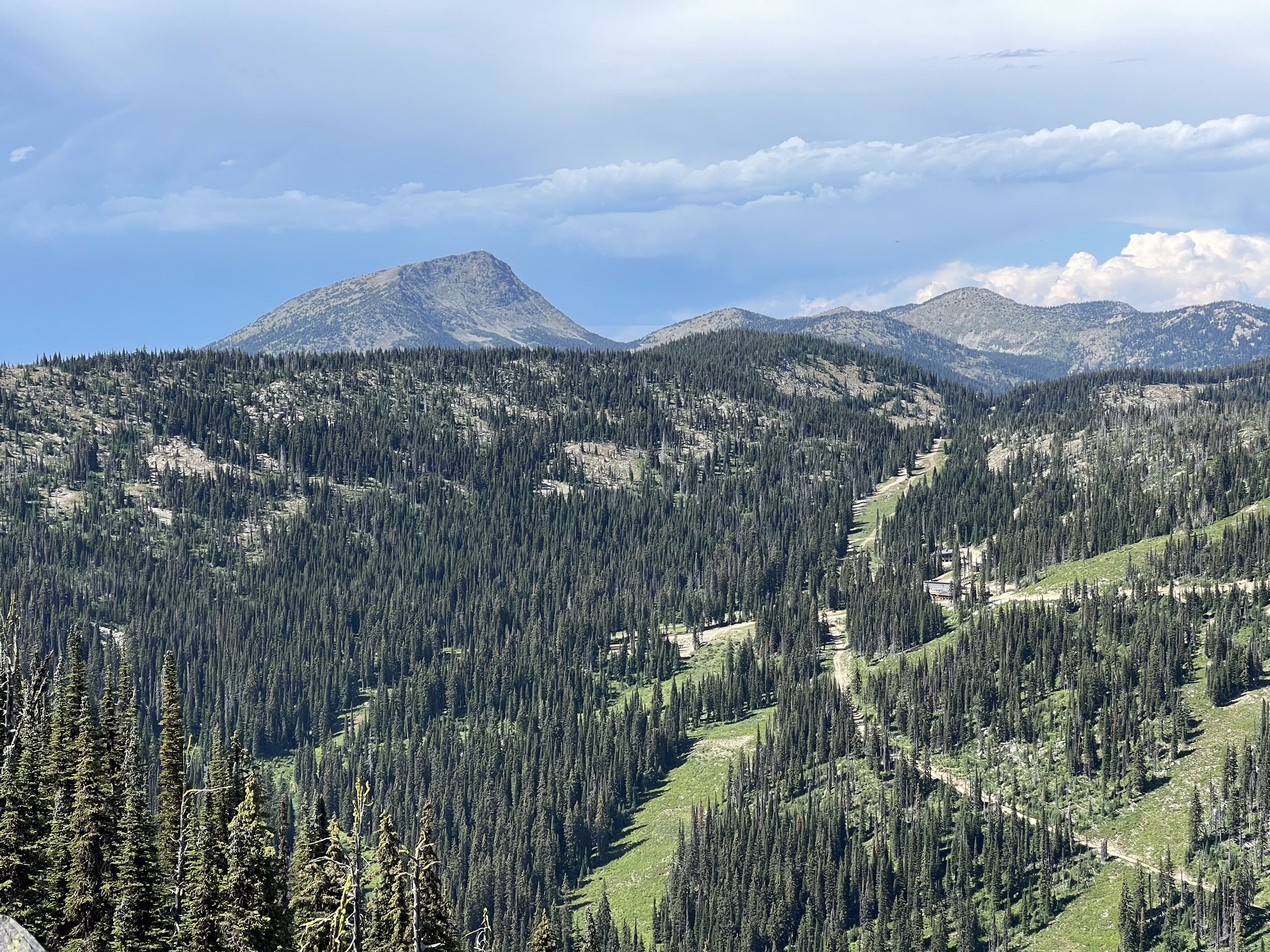
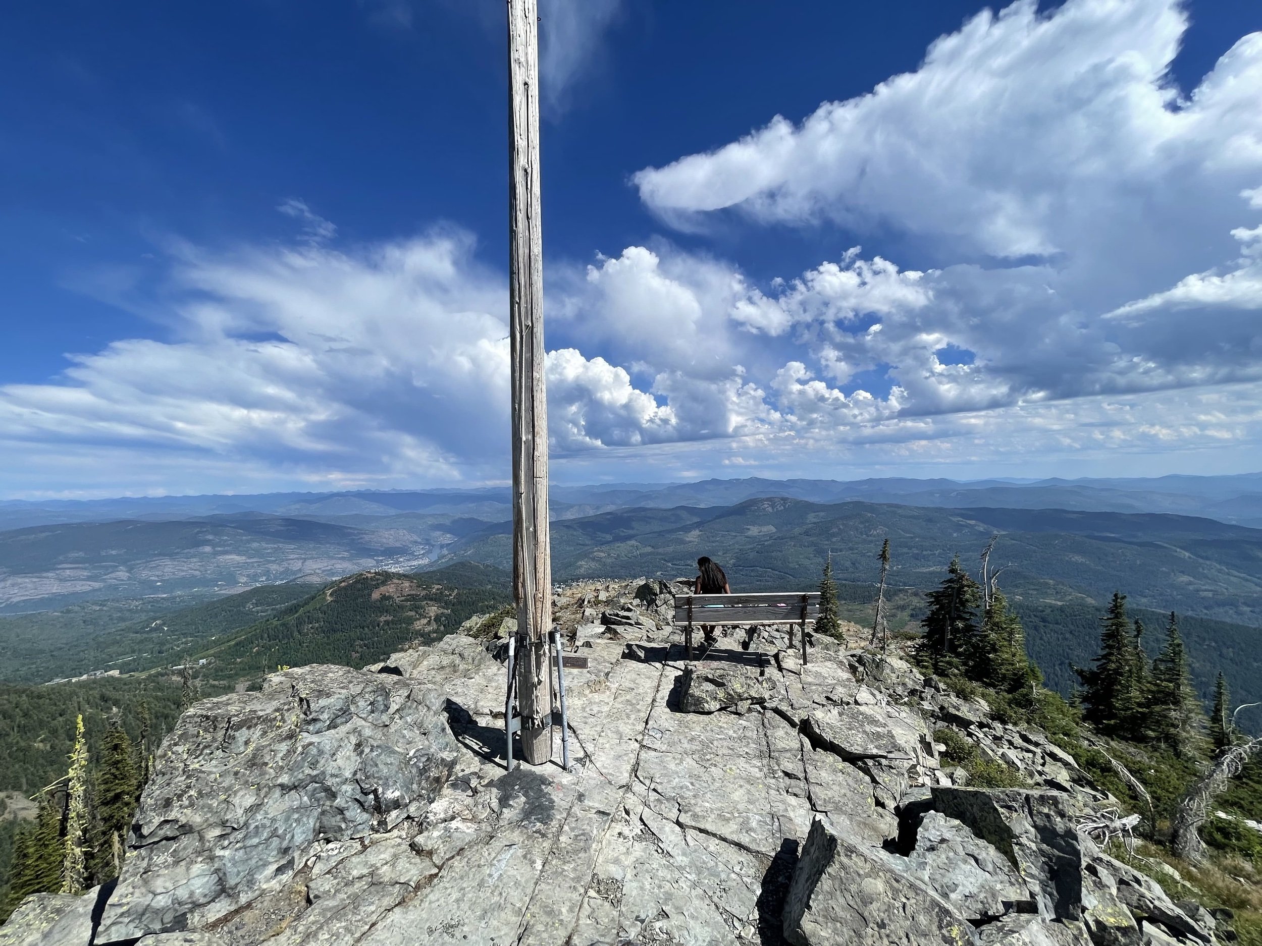
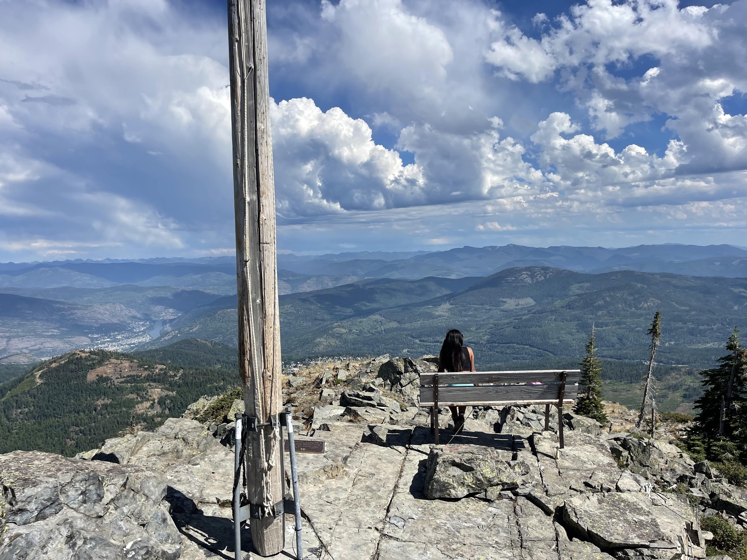
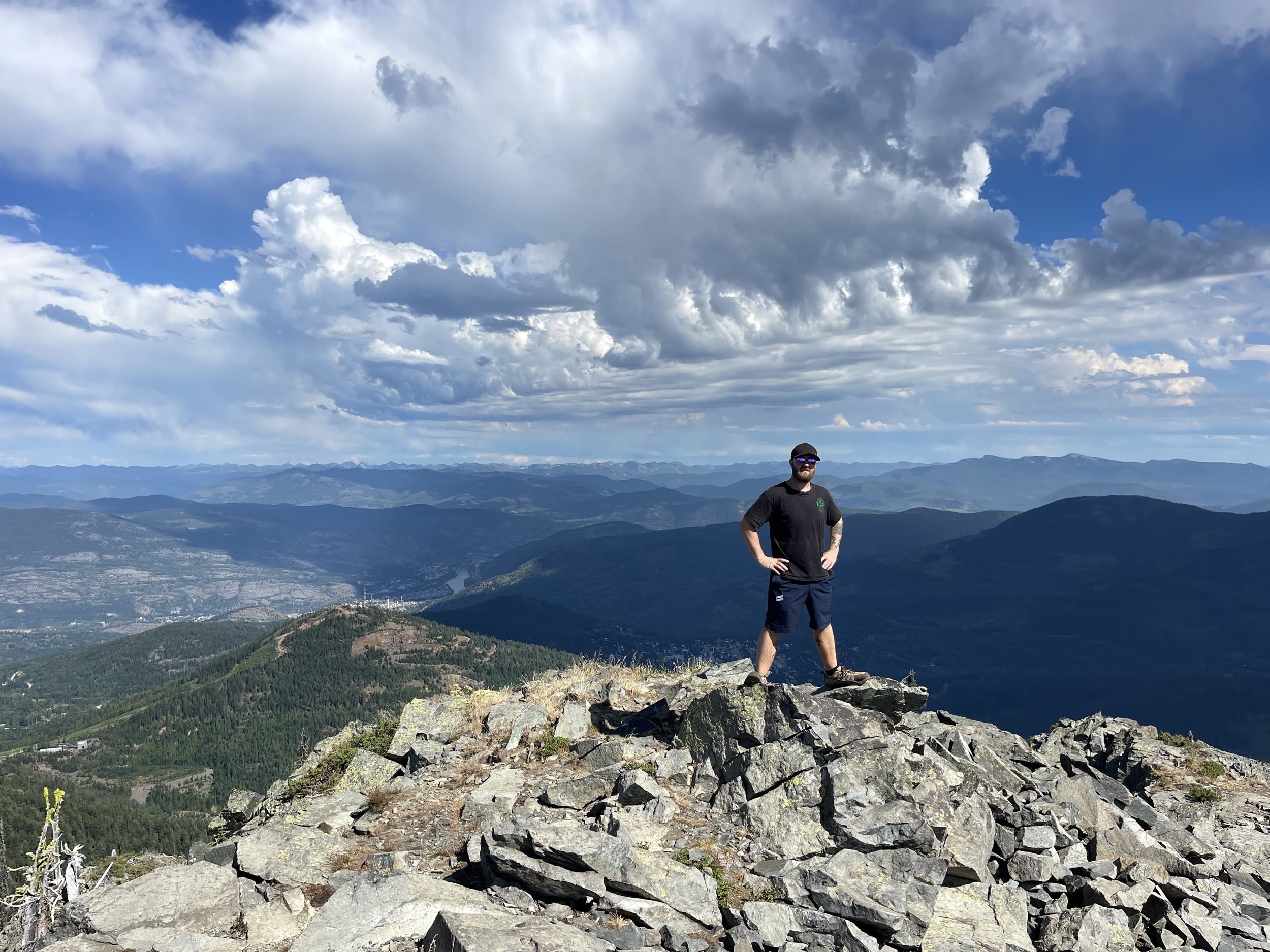
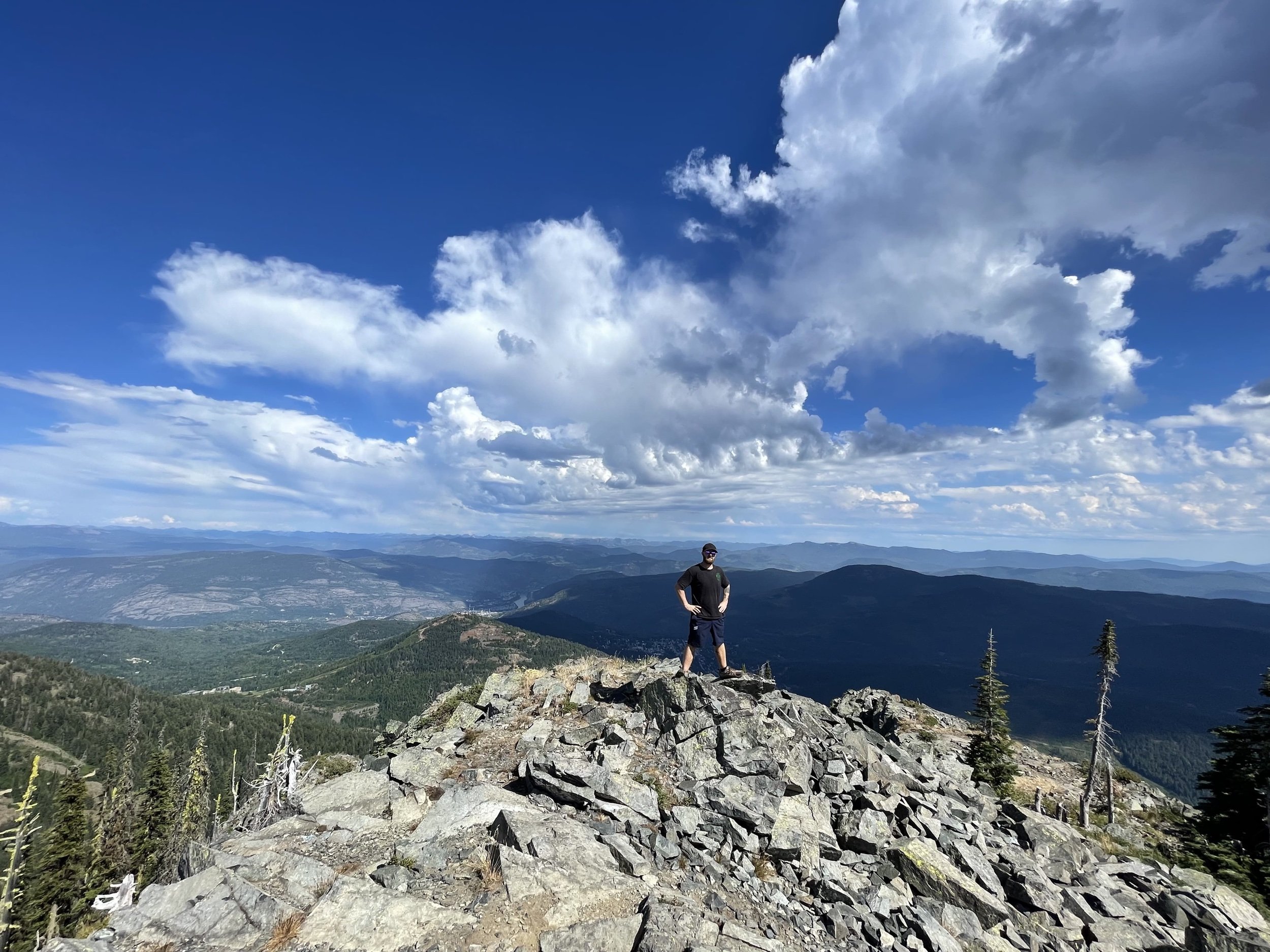
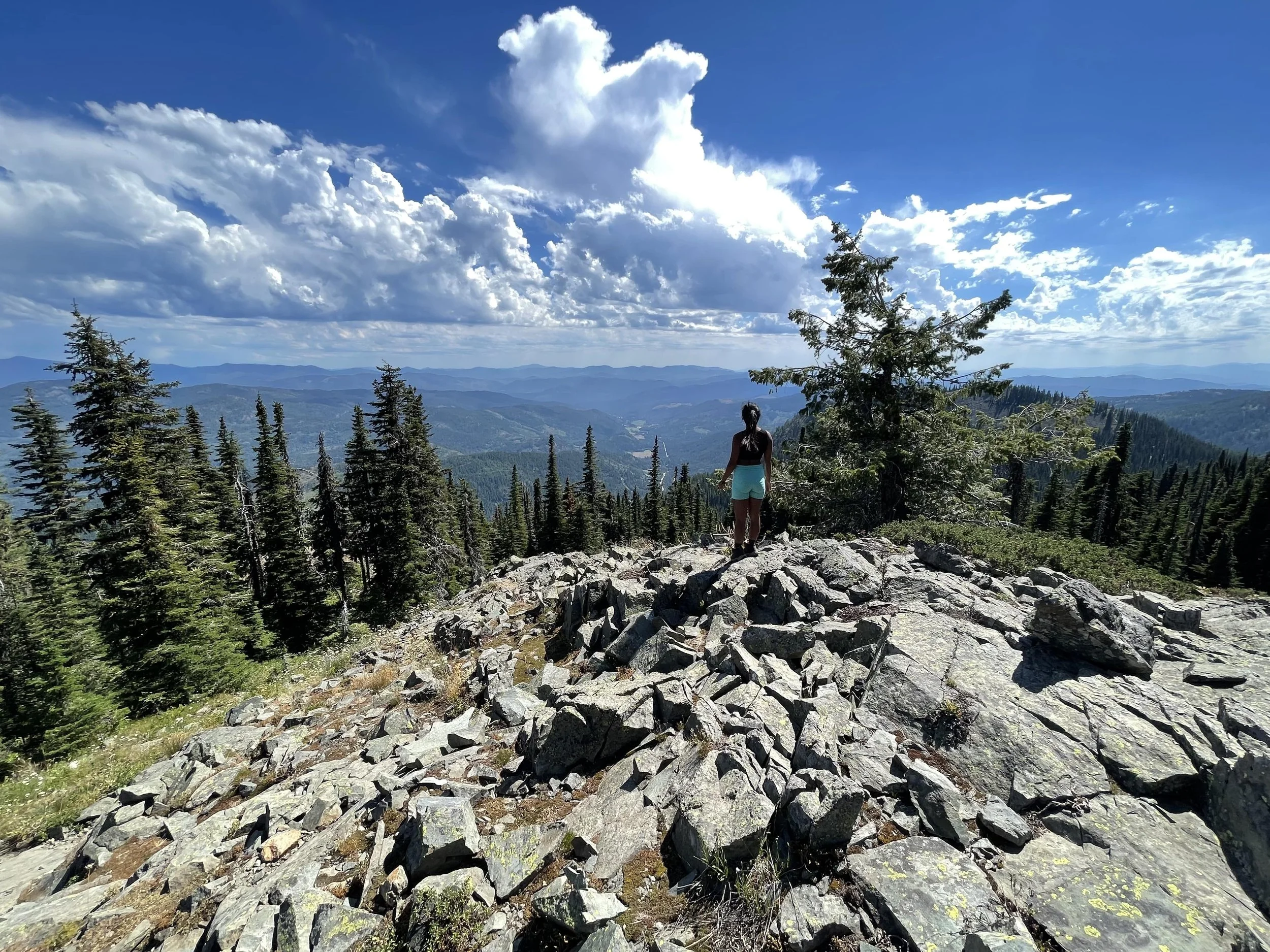
Upon reaching the summit, trekkers can take in panoramic scenery overlooking the towns of Rossland and Trail. On the clearest of days, Valhalla Provincial Park and its snowy peaks stand ominously in the background. To the north, there are views of Granite Mountain and Red Mountain, both of which are popular ski hills in the winter months.
Mount Roberts YouTube Video

Mount Roberts, Rossland
How to Get to Mt Roberts
To reach Mount Roberts you must head south on the Paterson-Trail Highway towards the USA border. Once you reach the Old Rossland-Cascade Highway you will need to turn right and drive for about 5 minutes. There are no marked signs indicating the trailhead, so I suggest punching the coordinates in Google Maps to find it.

Mount Roberts, Rossland
Mount Roberts Photos