How Drone Technology Is Transforming Land Surveying and Environmental Mapping
The way we understand and document the physical world is changing rapidly, and much of that change is being driven from the sky. Unmanned aerial vehicles, commonly known as drones, have moved far beyond hobbyist gadgetry to become indispensable tools in industries that depend on accurate, timely, and detailed spatial data. From infrastructure development to environmental conservation, drone-based surveying is delivering results that were once either impossible or prohibitively expensive to achieve through conventional methods. This shift is not just a technological novelty — it represents a genuine leap forward in how professionals collect, interpret, and act on geospatial information.
The Limitations of Traditional Surveying Methods
For decades, land surveying relied on ground-based instruments such as total stations, GPS receivers, and level rods. These tools are precise, but they come with significant constraints. Survey crews must physically access every point they wish to measure, which creates challenges in rugged terrain, densely vegetated areas, or locations affected by hazardous conditions. A single survey project covering a large parcel of land could take weeks and require substantial labor costs. Beyond the time and expense, there is also the issue of safety. Sending personnel into unstable slopes, flood zones, or contaminated sites introduces real risk that project managers must weigh carefully.
Traditional aerial photogrammetry offered some relief, but chartering manned aircraft is expensive, and the logistics of coordinating flight paths with aviation authorities added complexity. The result was that comprehensive aerial surveys were often reserved for large-scale government or infrastructure projects, leaving smaller organizations and municipalities without access to the same quality of spatial data.
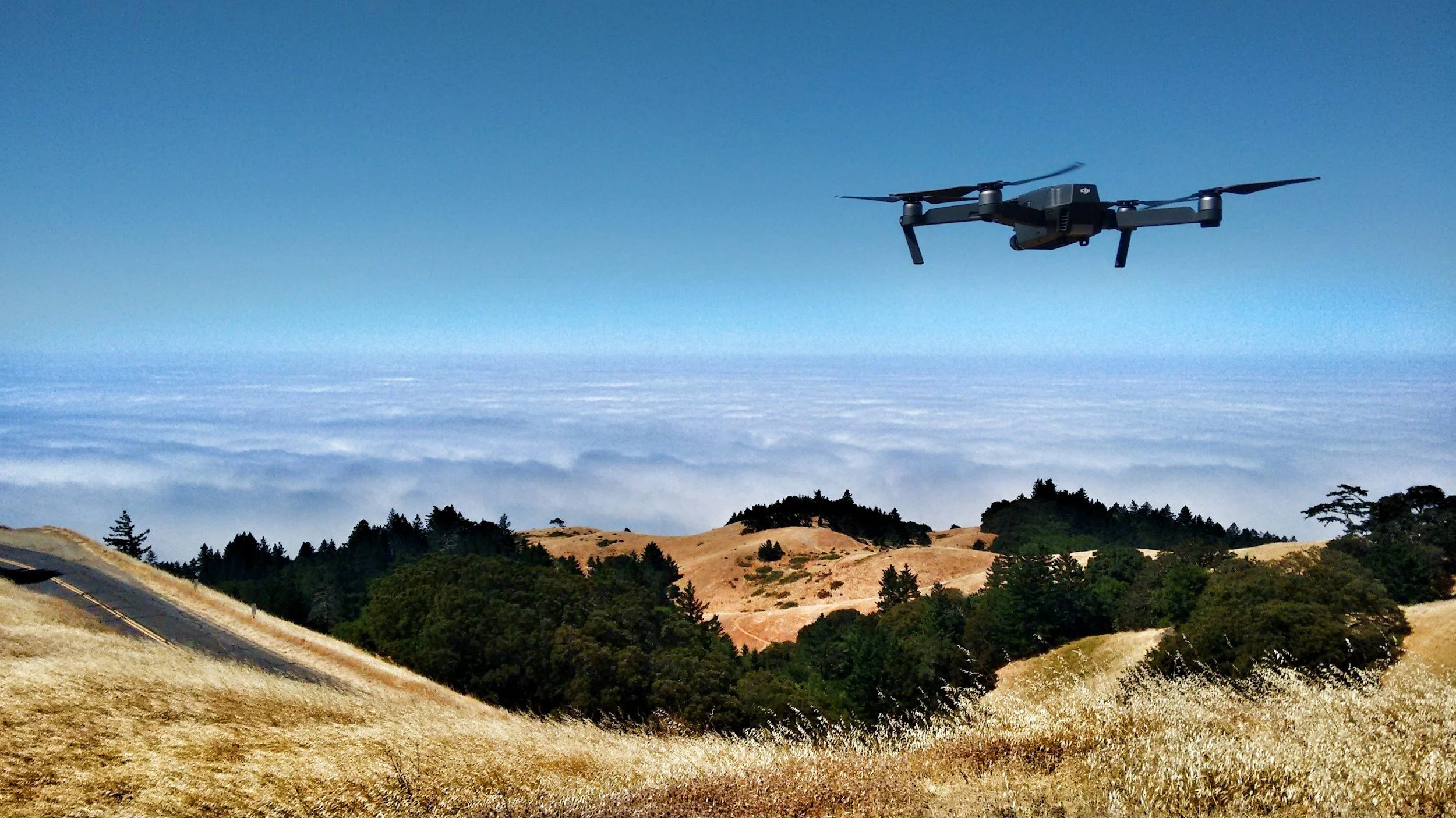
What Drone Surveying Brings to the Table
Drone-based surveying addresses nearly every limitation of its predecessors. Modern survey drones are equipped with high-resolution cameras, LiDAR sensors, multispectral imagers, and real-time kinematic GPS systems that can capture extraordinarily detailed data from low altitudes. Because drones fly closer to the ground than traditional aircraft, they can produce point clouds and orthomosaic maps with centimeter-level accuracy. This level of precision was previously achievable only through expensive terrestrial scanning equipment operated by large field teams.
Turnaround time is another area where drones excel. A project that might have required a two-week ground survey can now be completed in a single day of flight operations, with processed deliverables ready within 24 to 48 hours. For industries where timely data influences critical decisions — such as construction, mining, or emergency response — this speed is not merely convenient, it is transformative. Partnering with an experienced drone surveying company gives organizations access to this technology without the overhead of purchasing and maintaining their own equipment or training specialized operators.
Environmental Applications and Conservation Benefits
One of the most compelling areas where drone surveying is making a positive impact is environmental monitoring and conservation. Ecologists and land managers are using drone-collected data to track changes in vegetation cover, monitor wetland boundaries, assess erosion patterns, and document wildlife habitats with a level of detail that ground teams simply cannot replicate at scale. Coastal researchers, for example, can now map shoreline changes over time with precision, providing the kind of longitudinal data that informs both policy decisions and climate adaptation strategies.
Forestry professionals are using drone-derived canopy models to assess tree health, estimate timber volumes, and identify areas affected by disease or invasive species. In agriculture, multispectral drone surveys help farmers identify irrigation inefficiencies and crop stress before problems become visible to the naked eye. As the U.S. Geological Survey has long emphasized, accurate and current geospatial data is foundational to responsible land management and natural resource conservation, and drone technology is making that data more accessible than ever before.
Infrastructure, Construction, and Urban Planning
Beyond the natural environment, drone surveying is reshaping how cities and infrastructure projects are planned, built, and maintained. Civil engineers can use drone-generated terrain models to design drainage systems, calculate earthwork volumes, and identify potential site hazards before breaking ground. During active construction, periodic drone flights provide project managers with up-to-date progress reports that can be compared against design plans, helping to catch discrepancies early and reduce costly rework.
Urban planners are also finding value in drone-collected data for transportation analysis, zoning assessments, and community development projects. High-resolution aerial imagery gives planners a current, accurate picture of land use patterns that outdated maps or satellite imagery simply cannot provide. Municipalities with limited budgets can now access survey-grade data without commissioning expensive traditional surveys, leveling the playing field between large metropolitan areas and smaller communities.
Infrastructure inspection is another growing application. Bridges, power lines, pipelines, and cell towers can be inspected by drones without placing workers at elevation or requiring expensive scaffolding and equipment. The resulting imagery and sensor data can be reviewed by engineers in a controlled environment, improving both safety and inspection quality.
The Future of Geospatial Intelligence
The trajectory of drone surveying technology points toward even greater capability in the years ahead. Advances in artificial intelligence and machine learning are being integrated into data processing pipelines, allowing software to automatically classify terrain features, detect anomalies, and generate actionable insights from raw sensor data in near real-time. As drone hardware continues to improve, payload capacities are increasing, battery life is extending, and autonomous flight capabilities are becoming more sophisticated.
Regulatory frameworks are also maturing. Aviation authorities in many countries are developing clearer pathways for beyond-visual-line-of-sight operations and urban air mobility, which will expand the range and complexity of missions that drone survey operators can undertake legally and safely. This regulatory evolution is a signal that drone technology is no longer a fringe innovation but an established part of the professional services landscape.
Integration with other geospatial technologies is also accelerating. Drone data is increasingly being combined with satellite imagery, ground-penetrating radar, and IoT sensor networks to create comprehensive digital twins of physical environments. These models give decision-makers an unprecedented ability to simulate scenarios, monitor change over time, and respond proactively to emerging challenges.
Drone surveying has earned its place as one of the most significant advances in geospatial science in recent memory. By making high-quality spatial data faster to collect, safer to gather, and more affordable to obtain, this technology is empowering professionals across a wide range of disciplines to make better-informed decisions. Whether the goal is protecting natural ecosystems, building smarter cities, or maintaining critical infrastructure, the ability to see the world clearly and accurately from above is proving to be an invaluable asset.