Battle Bluff, Kamloops
About Battle Bluff, Kamloops, British Columbia
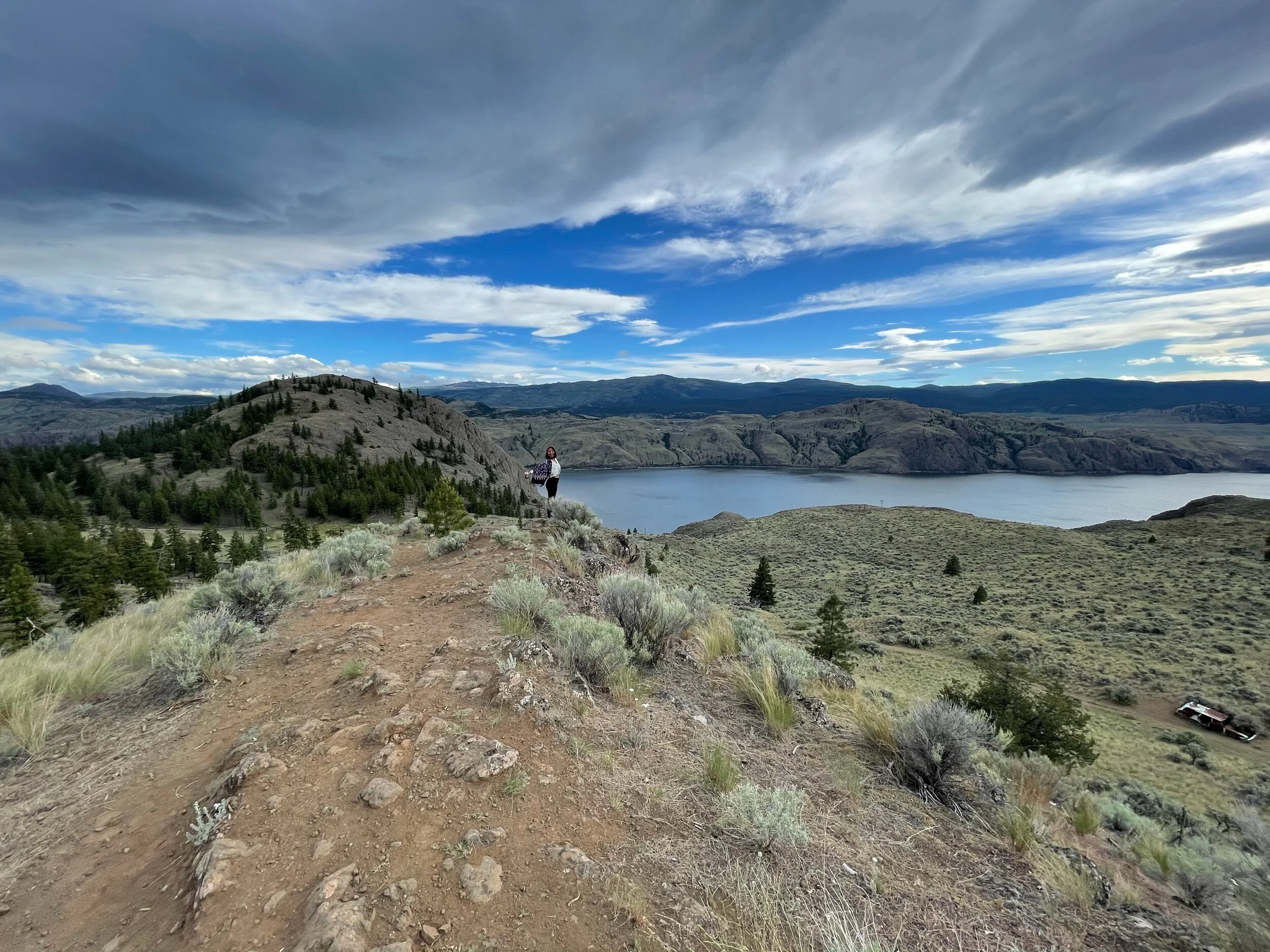
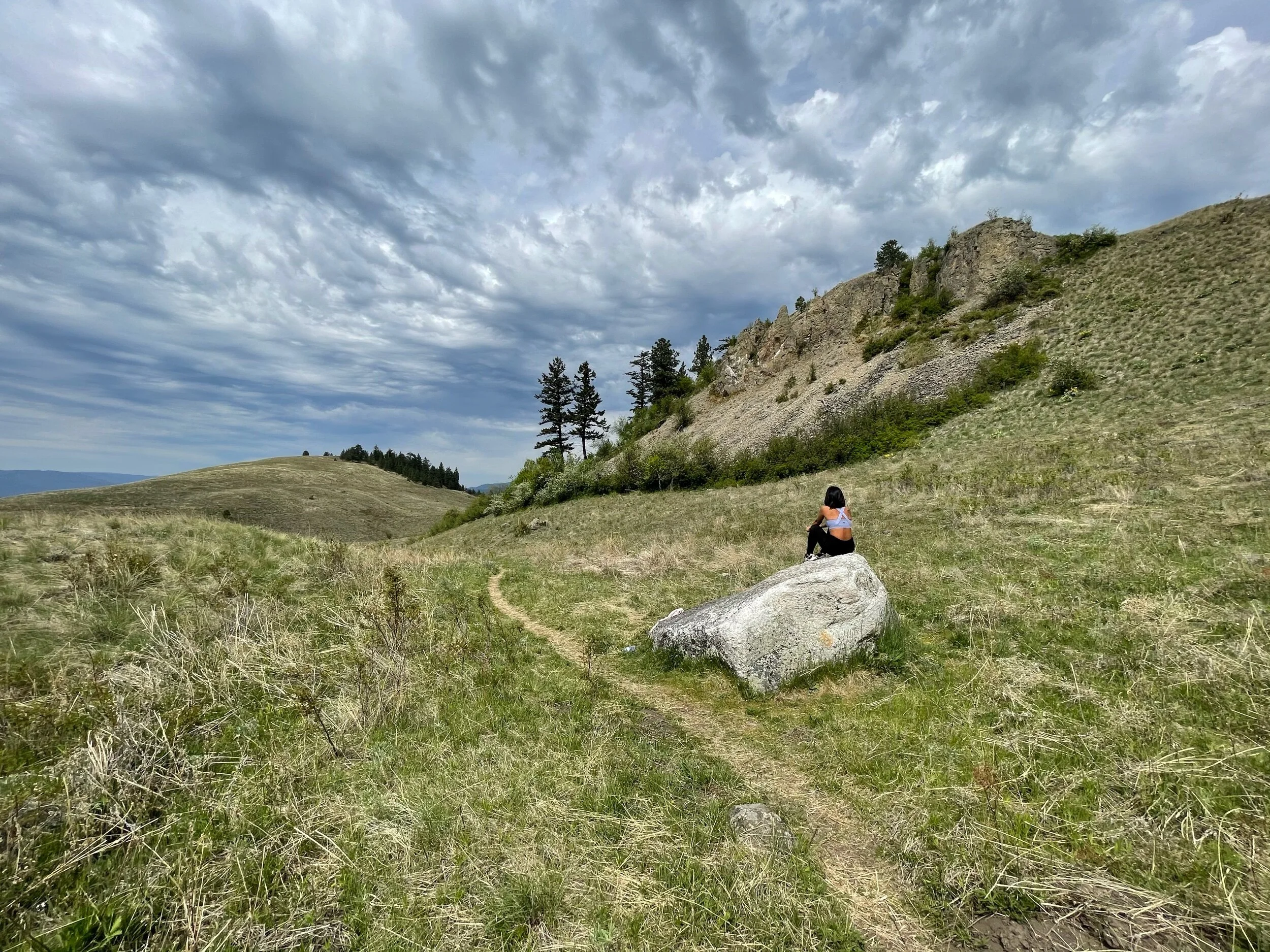
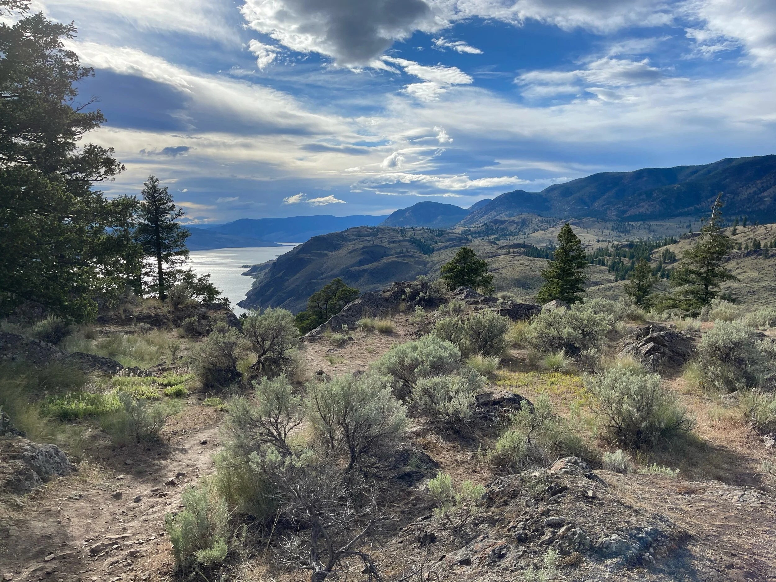
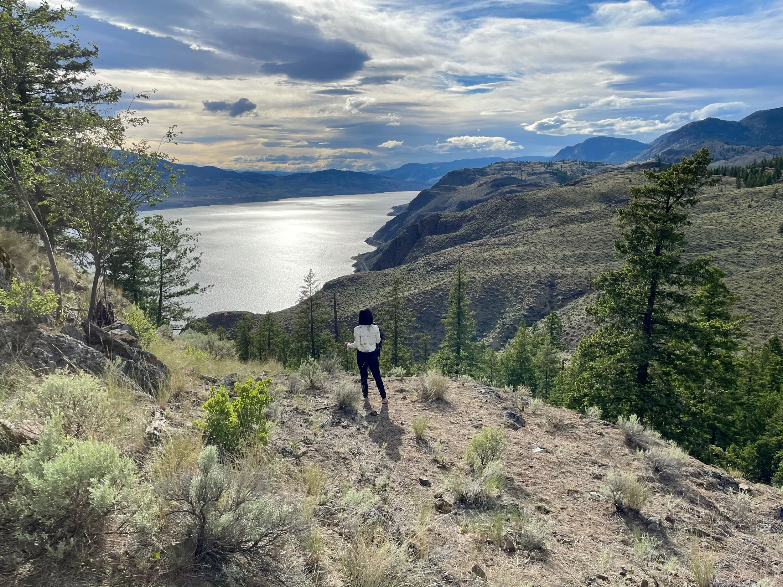
Battle Bluff hiking trail, located in the Lac du Bois Grasslands Protected Area, offers breathtaking views of the unique desert landscapes. Upon reaching the summit, hikers are treated to stunning panoramas of the Kamloops, British Columbia region, including the picturesque Kamloops Lake. The trail is moderate difficulty and is a relatively family-friendly hike at 5.2 km and takes approximately 2 hours round trip.
Once on top, you will be mesmerized by the outstanding views that the bluff provides. If you can, I would suggest that you head up to the bluffs at sunset and watch as the sun brilliantly sets above Kamloops Lake.

British Columbia RV Site Rental
Exploratory Glory YouTube Channel
How to Get to Battle Bluffs
Map of Battle Bluff Trail

History of Battle Bluff
Battle Bluff obtained its name from the legends of local First Nations people that tell of battles fought in the area. The park features markers of red paint and pictographs that can only be reached by kayak or canoe. These markers seem to indicate where battles were once fought and represent the blood that was spilled.
Geology of Battle Bluff
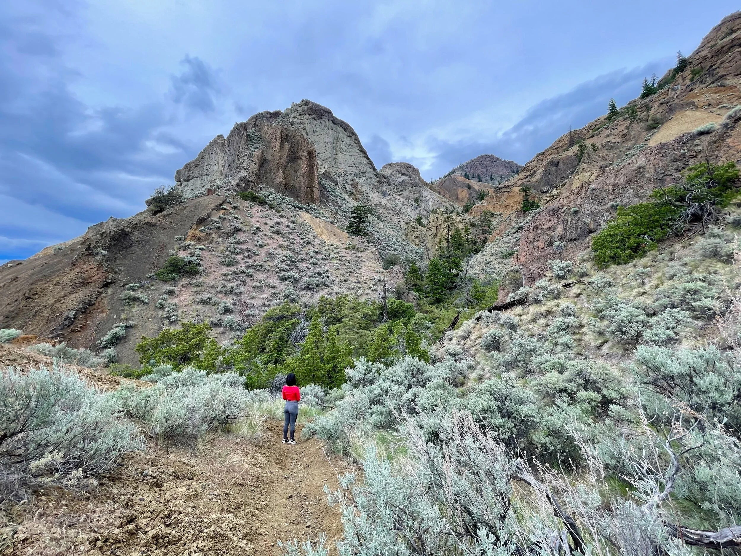
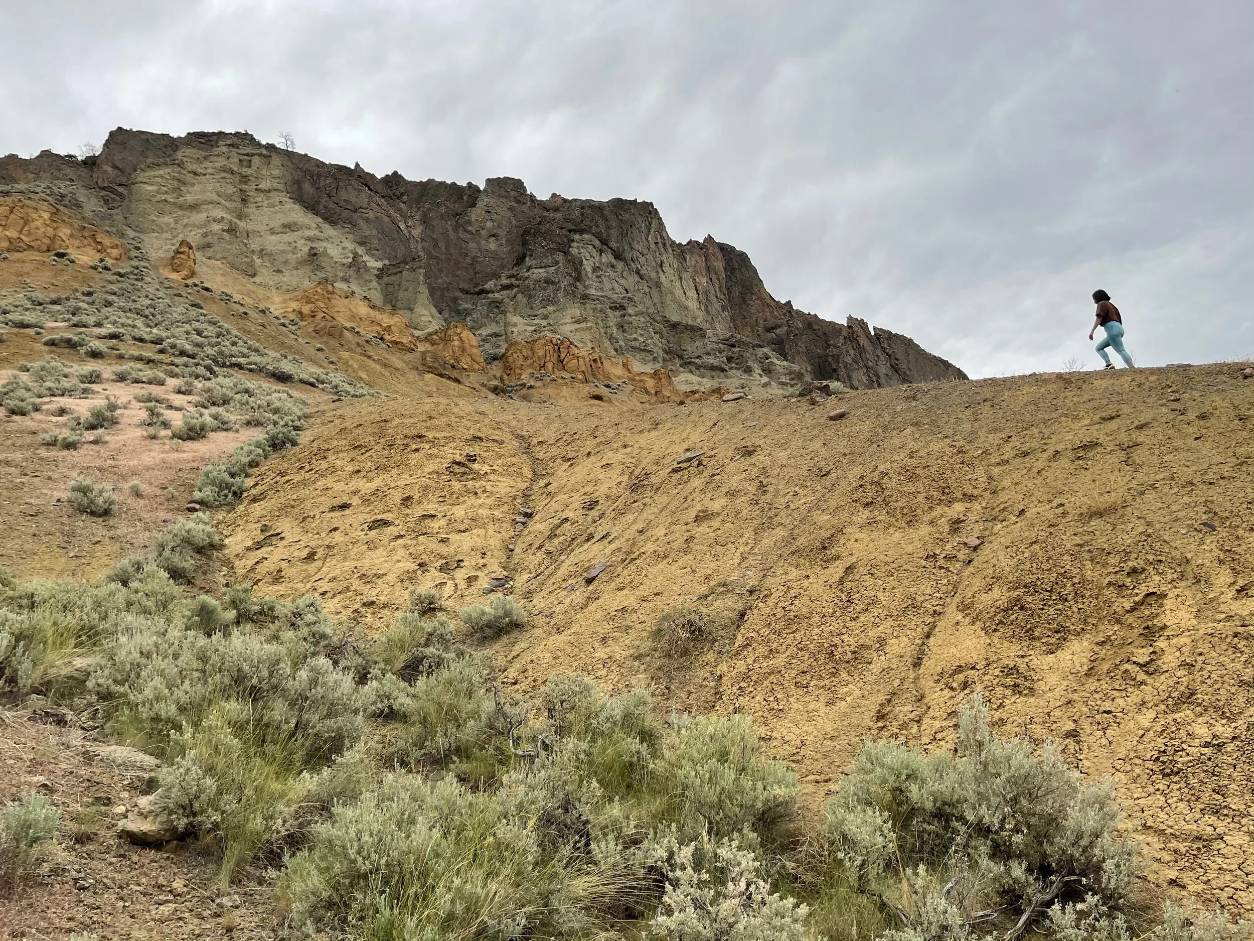
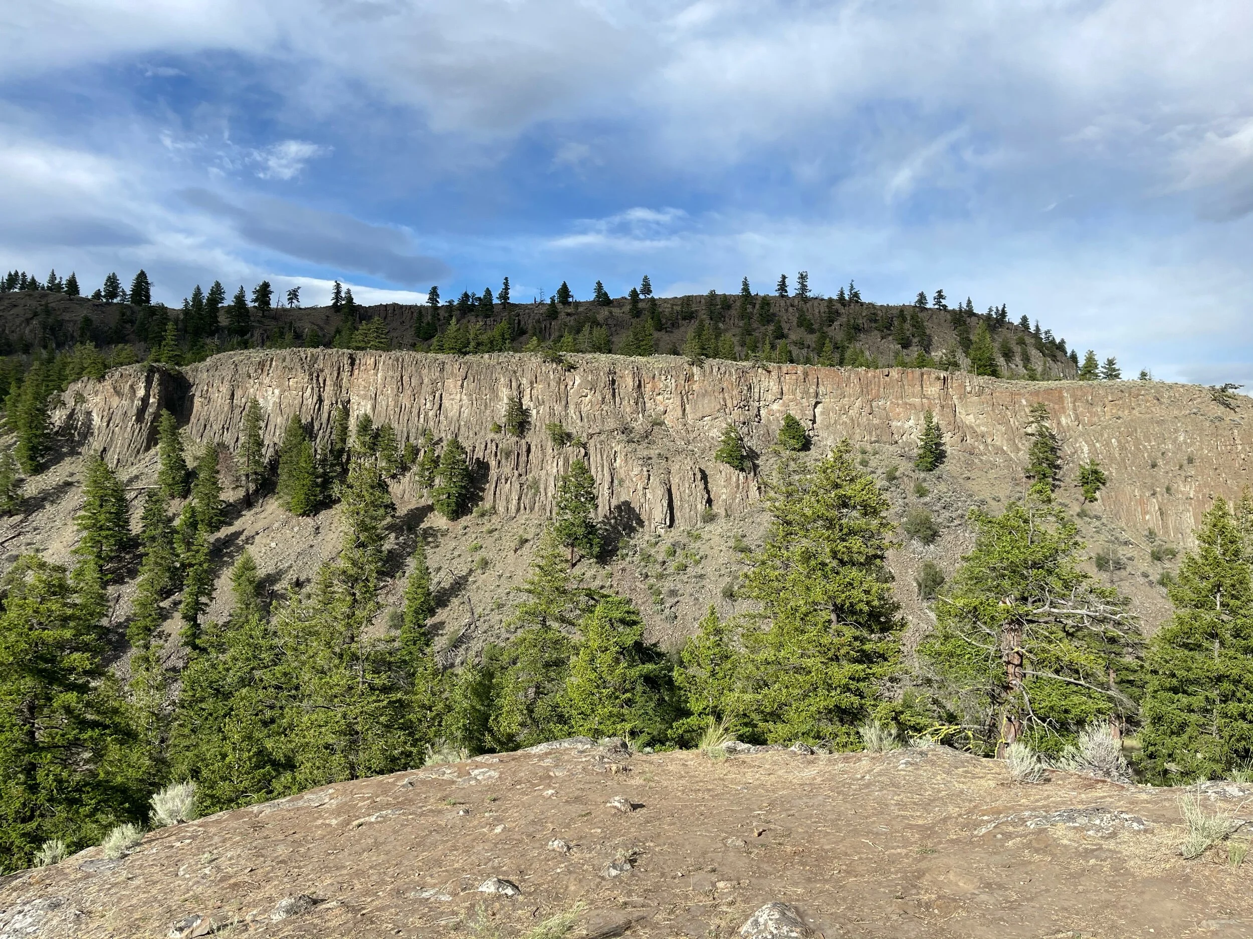
Battle Bluff will expose hikers to a fascinating geological history as the area showcases some incredible rock formations that will have you saying “how the hell did that get there?” The formation of this mountain came from a combination of volcanic activity and erosion, which made the dramatic 360-meter cliff that you see today. As you climb the bluffs you will notice another cliff across the valley behind you that features a row of nearly symmetrical columns formed from ancient basaltic rock.