Guide to Travel Lillooet
Lillooet, British Columbia, Canada
About Lillooet, British Columbia, Canada
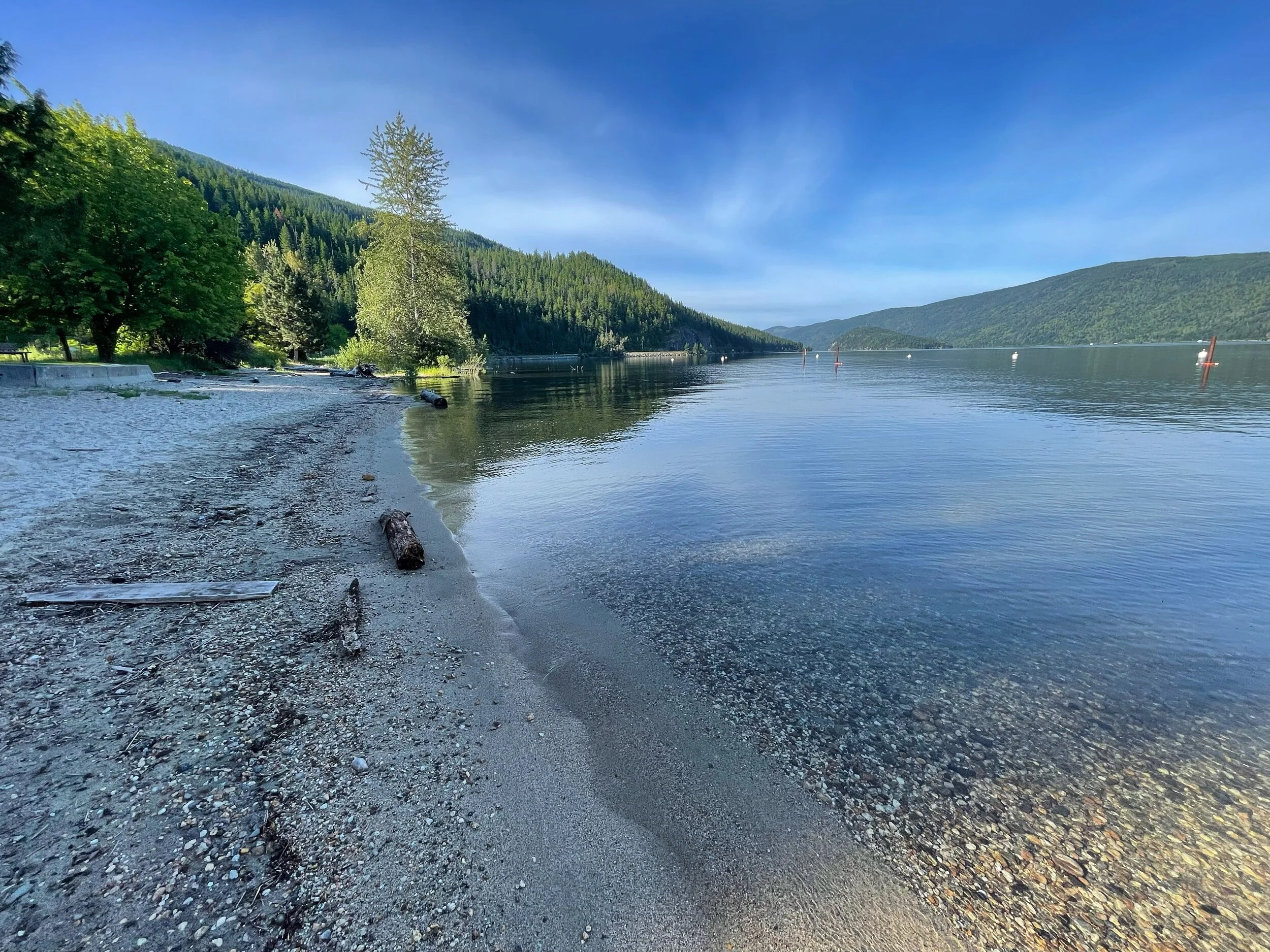
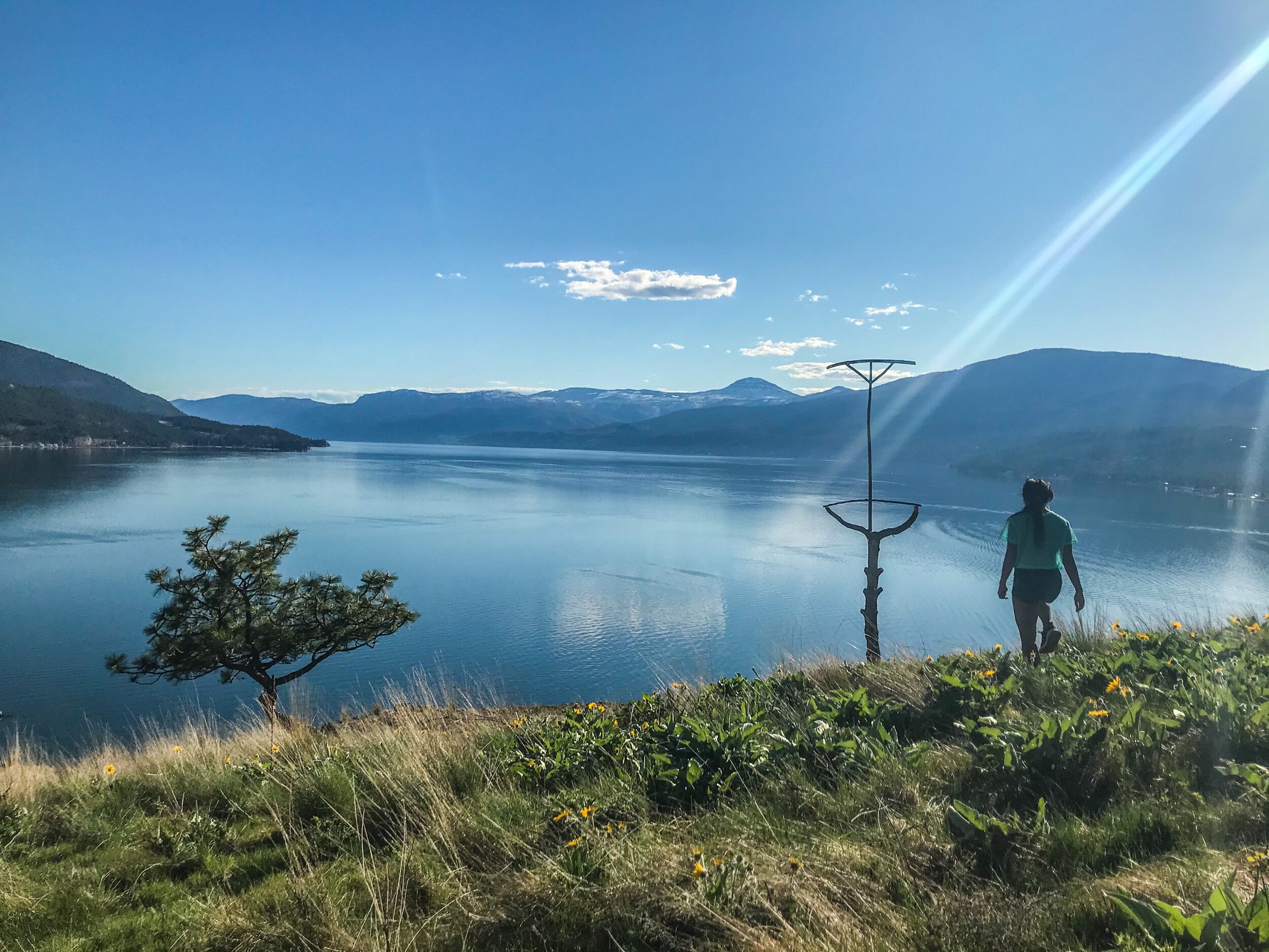
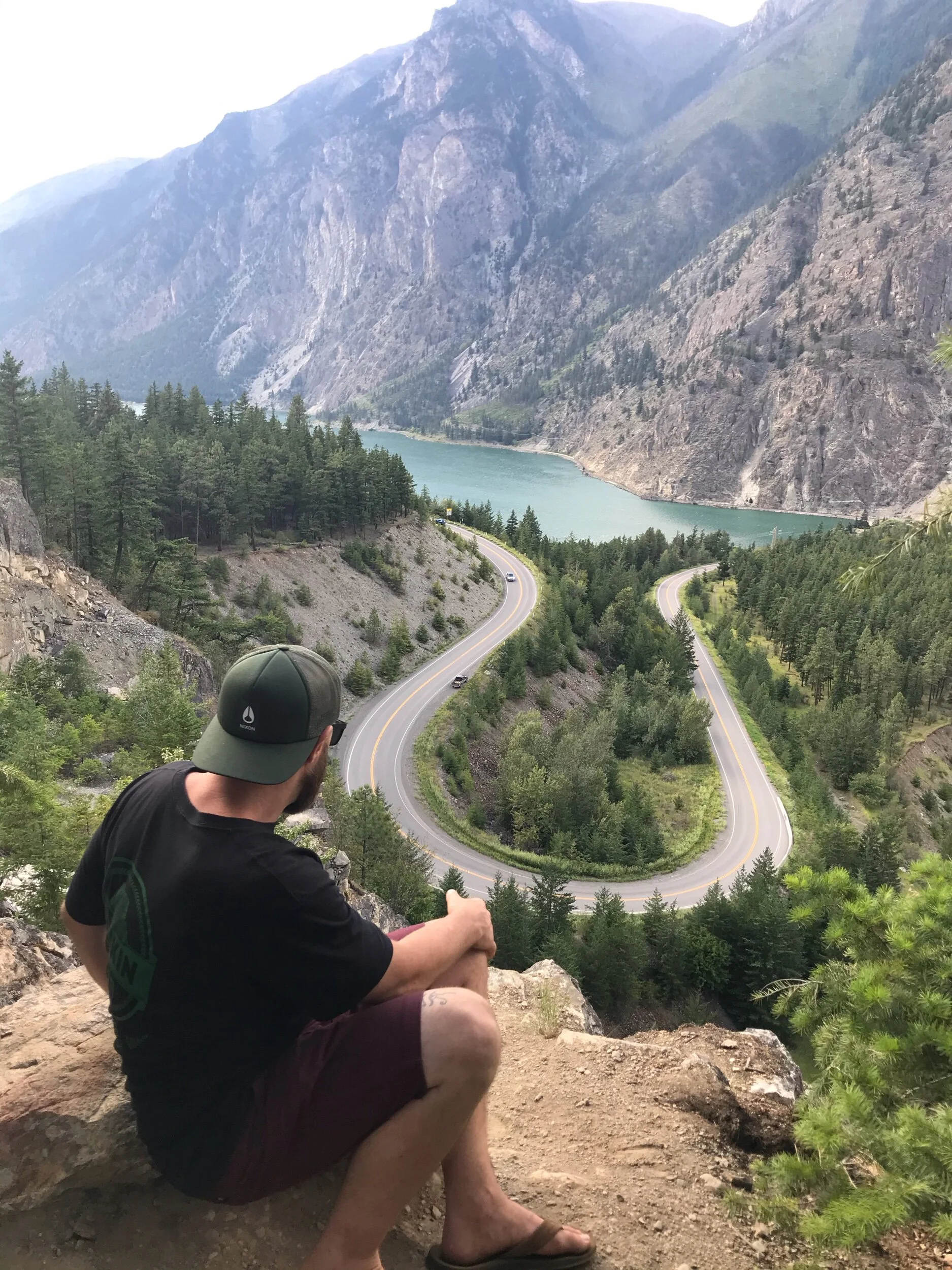
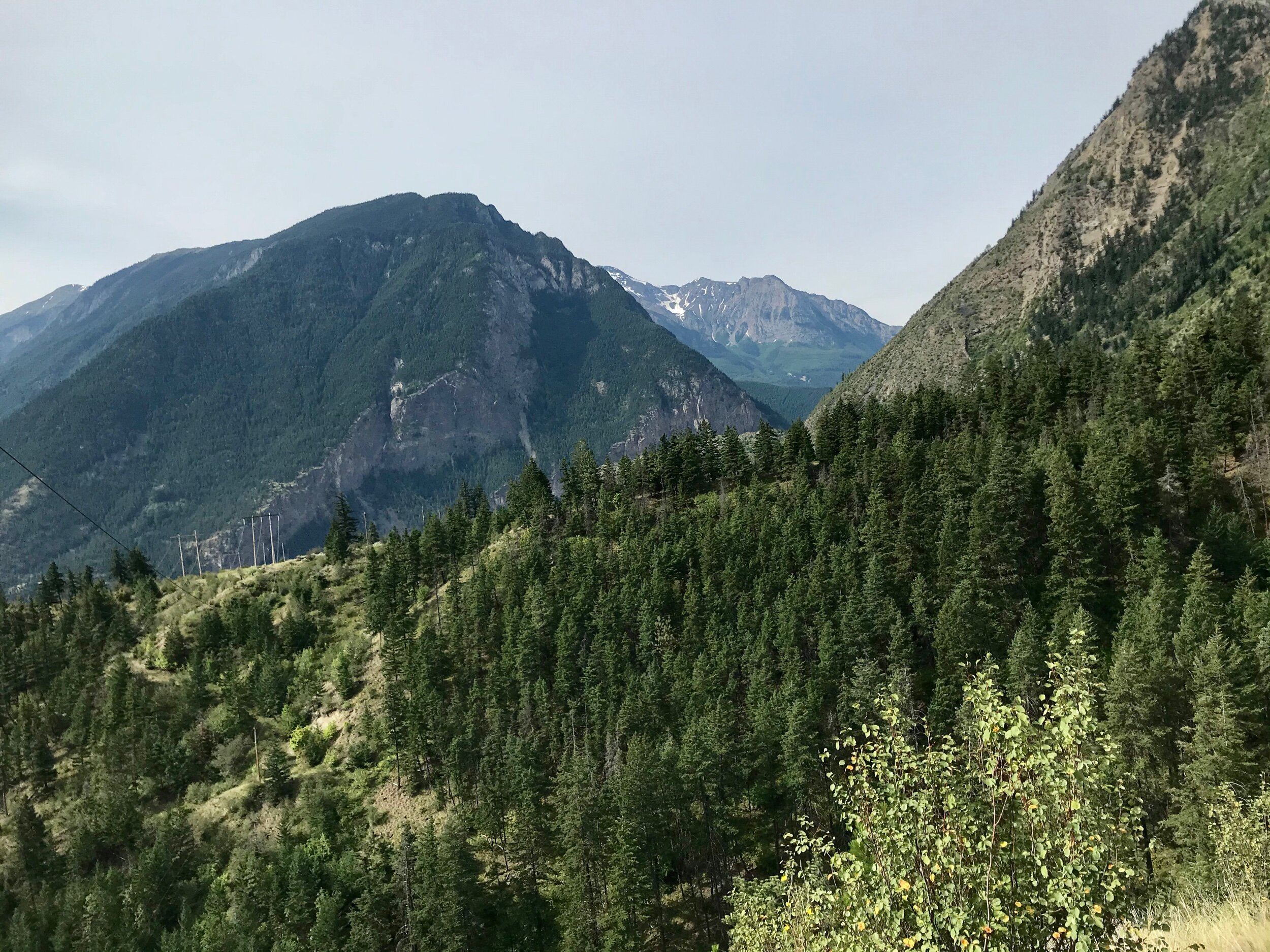
Lillooet is a quaint little town with dramatic mountain scenery and is located within the Fraser Canyon and Bridge River Country region of British Columbia, Canada. It is well known for its indigenous history and to this day the majority of the population is First Nations.
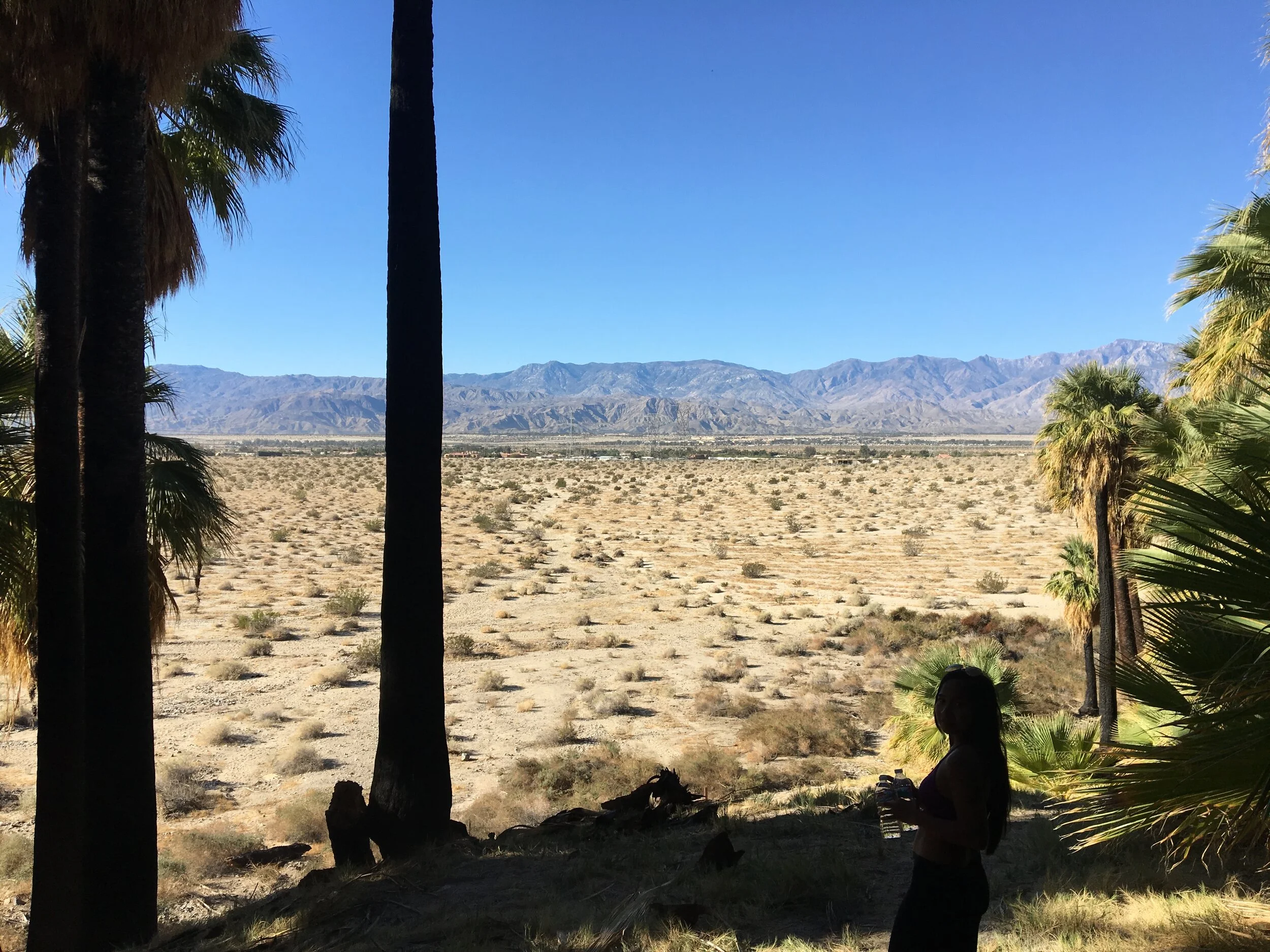
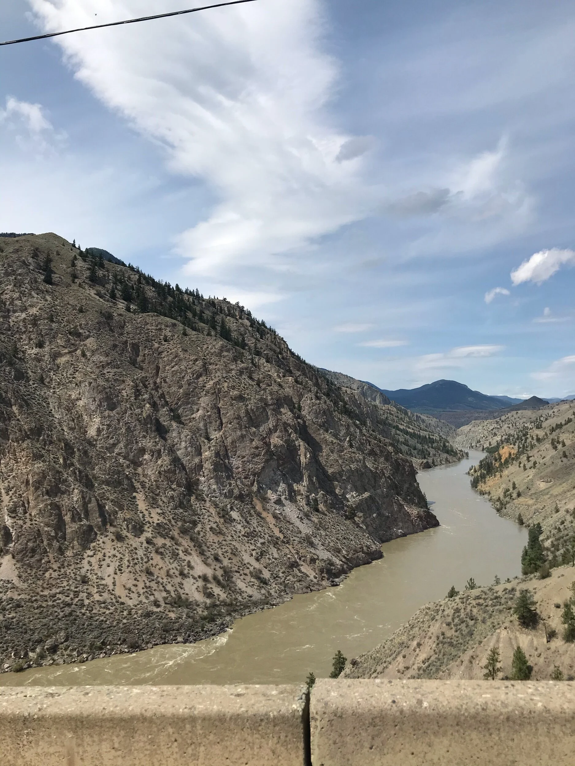
During the famous Fraser River Gold Rush in 1858-1860, it was one of the largest towns in North America and had been described by Governor James Douglas as "the prettiest spot for a town on the Fraser I have seen". The early European travelers to the area compared it to the Himalayas due to the incredibly high peaks of the Coastal Mountains that surround the small town. Though Lillooet is enveloped by rainforest-covered mountains it lies in a rainshadow and has a desert-like climate with the hottest recorded temperatures in the entire country of Canada. It also has a long growing season relative to the rest of the country and is the perfect climate for orchards and wineries.
Exploratory Glory YouTube Channel
Lillooet, British Columbia, Canada
How to Get to Lillooet
Map of Lillooet

Lillooet, British Columbia, Canada
Attractions of Lillooet
Lillooet Museum
Mile 0 Cairn
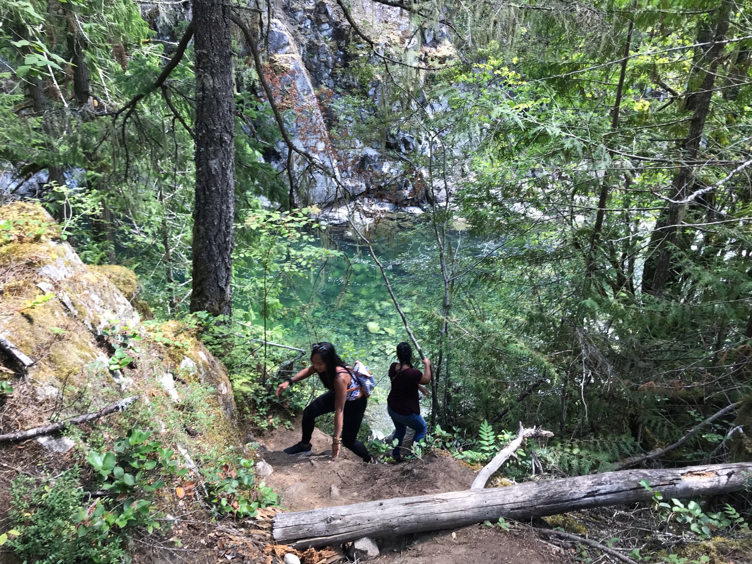
Bridge River Fishing Grounds
The Miyazaki Heritage House
Bridge River Canyon and Terzahgi Dam
Cayoosh Park
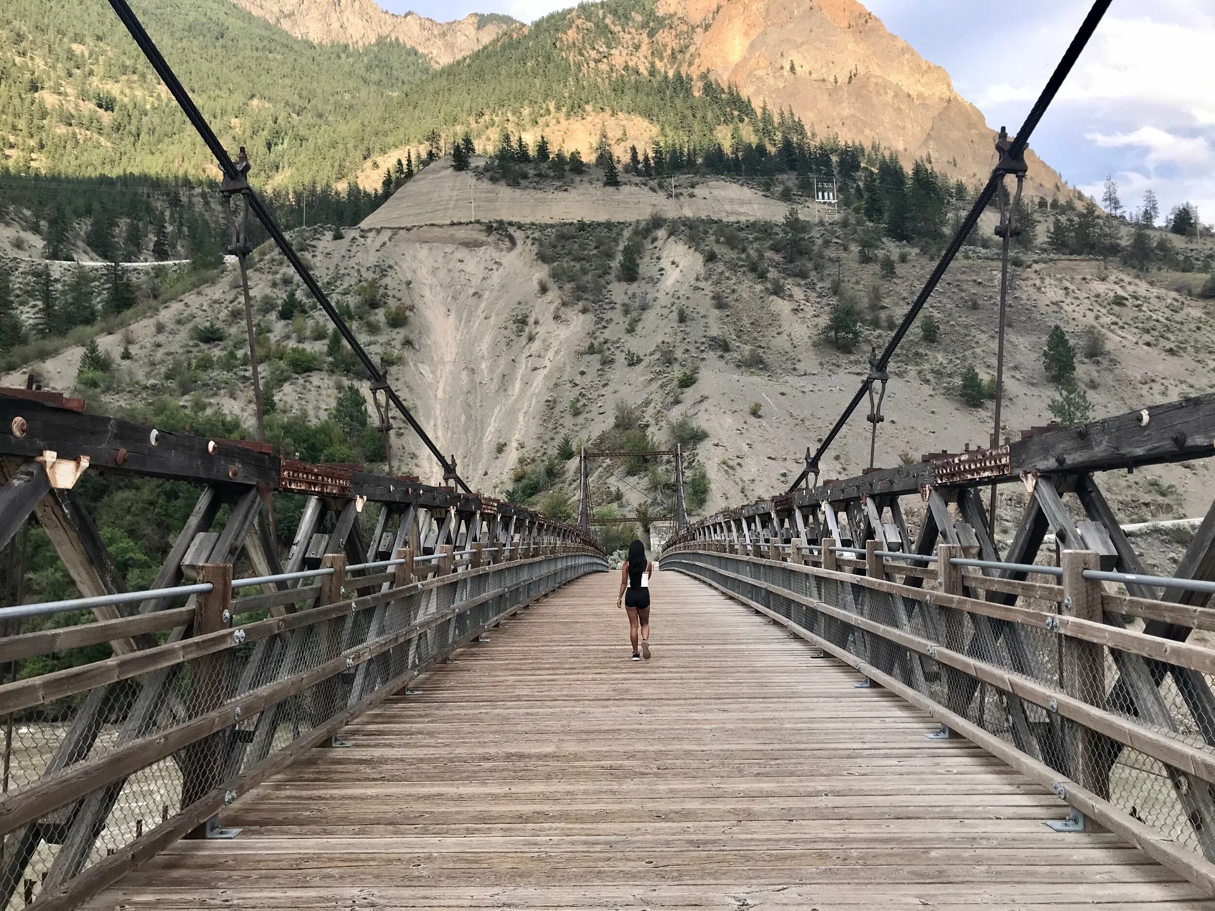
Old Suspension Bridge
The West Side Road
Marble Canyon and Pavilion Lake
Lillooet, British Columbia, Canada

Lillooet, British Columbia, Canada
Where to Stay in Lillooet

Nearby British Columbia Attractions