
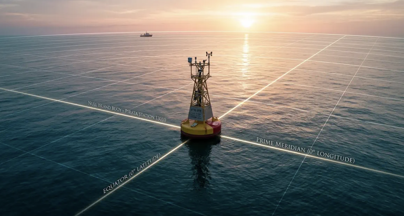
The Earth’s Zero Point—What Lies Behind the Coordinates 0°N 0°E
There is a place on the map of the Earth that a cruise ship is unlikely to reach and to which no airline flies. The point with coordinates 0° north latitude and 0° east longitude is like a geographical “starting point” from which all directions are measured. But what lies behind these dry numbers? And why do programmers, sailors, and even mapping satellites know about this place?
Where Is the 0.0 Point and How Is It Determined?
The very idea of the “Earth’s zero point” sounds almost like the beginning of a geographical legend. But behind this beautiful image lies rigorous mathematics. On a globe, there is a special pair of coordinates—0 degrees latitude and 0 degrees longitude. Their intersection marks a point often referred to as the planet’s zero coordinate.
The coordinate system is simple: the equator divides the Earth into the Northern and Southern Hemispheres and marks zero latitude. The prime meridian, which passes through Greenwich, London, is designated as 0 degrees longitude. When these lines meet, they define a specific geographic location. The point lies in the Atlantic Ocean, in the Gulf of Guinea, off the coast of West Africa.
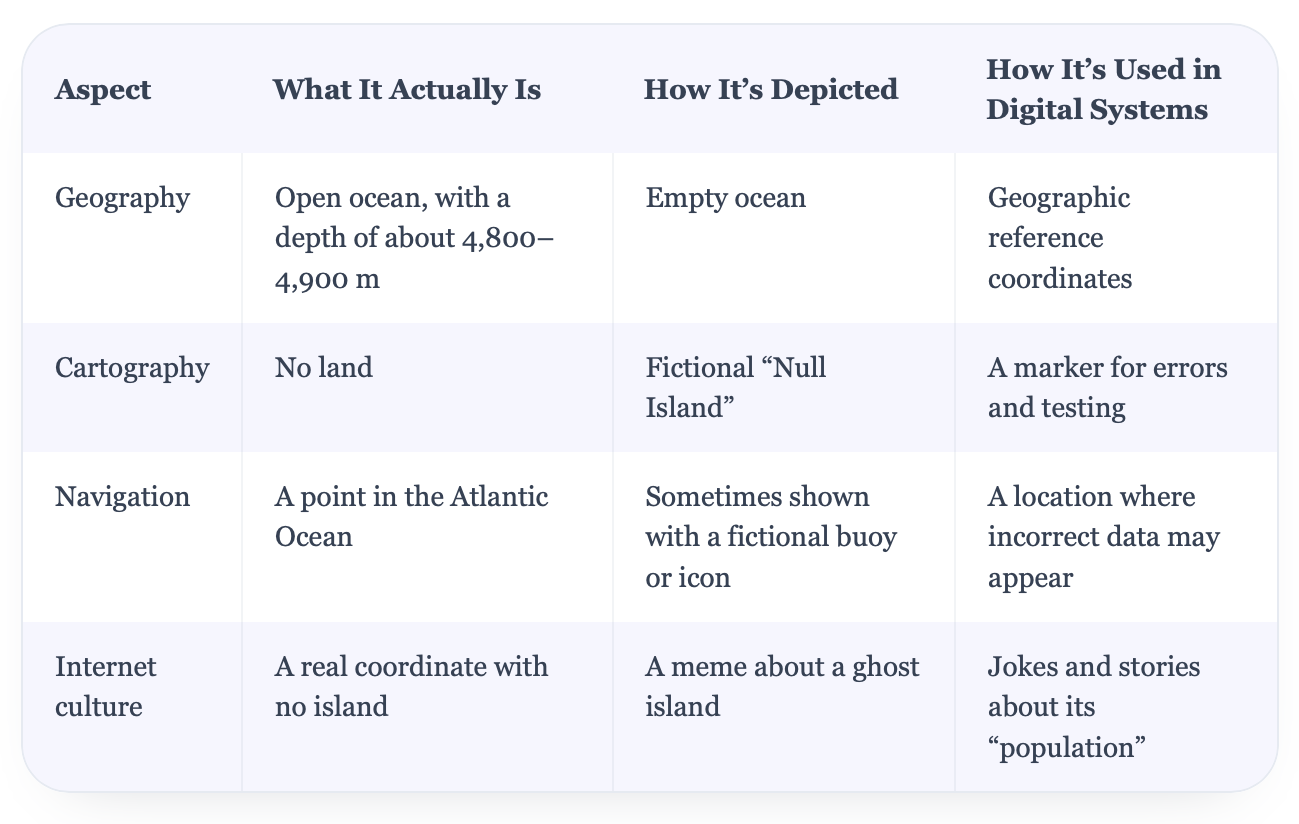
In reality, there is no land there—only the open ocean at the point 0°N, 0°E. The ocean floor lies approximately 4,900 meters below the surface in this area. The location is widely known as “Null Island,” a fictional island used as a reference point for erroneous or missing geographic data. For a closer look at this unusual location, read more about the Earth’s zero point at coordinates 0°N 0°E in the Atlantic Ocean.
What’s Actually at the Zero Point
The most intriguing thing about this story is that, upon reaching point 0.0, a person won’t see anything remarkable. No land, no lighthouse, no buoy with a “Welcome” sign. Just the boundless Atlantic Ocean, sometimes calm, sometimes stormy. The depth in this area reaches approximately 4,800–4,900 meters—a figure that makes even powerful research vessels look tiny against the backdrop of the watery abyss.
The 0,0 coordinate has become so well-known precisely because of its emptiness. When navigation systems or databases don’t know an object’s exact location, they may assign it coordinates of zero by default. That’s why strange occurrences sometimes appear on maps: airplanes that seem to end up at the zero point, or container ships that suddenly appear to be “stuck” in the Gulf of Guinea. Of course, these are generally data errors, not actual arrivals at a mysterious island.
It’s amusing that these errors have turned this remote corner of the Atlantic into a spot that people talk about all over the world. Countless fictitious “landings” and “arrivals” have turned the zero coordinate into a digital oddity. And the more navigation technology advances, the more this point resembles an invisible funnel into which electronic map glitches fall.
“Ghost Island” Null Island and Why It’s Needed
When coordinate errors became widespread, cartographers and data specialists needed a way to identify them. That’s how the fictional feature known as Null Island became popular. Technically, it’s not an island, but a fictional point with coordinates 0°N, 0°E. To emphasize its uniqueness, some illustrations and maps depict a tiny patch of land and place a virtual buoy with a flag there.
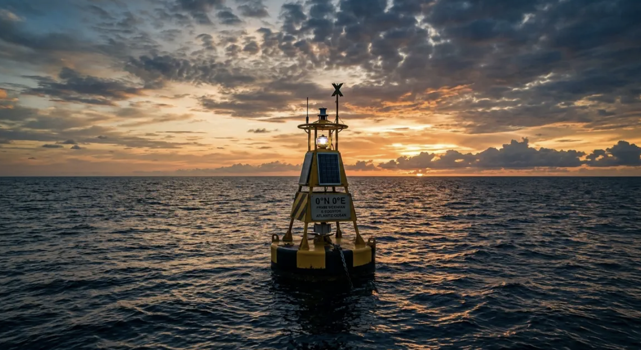
The history of this island is ironic. It has become a sort of “trash can” for incorrect geographic data. Any system that loses coordinates may automatically send an object to this zero point. As a result, tankers, cruise ships, and even passenger planes can appear in Null Island’s imaginary “arrival logs.” This creates a paradox: on the map, it can look like a densely populated island; in reality, there is only open ocean.
Today, Null Island has become a digital meme. On forums and social media, cartographers joke that it’s “the busiest place on the planet,” since countless phantom routes converge there. In professional circles, the 0.0 point also serves as a handy test: if a program sends an object to Null Island, it may indicate that something has gone wrong with the coordinate data.
Why This Point Is Important for Science and Technology
The paradox is that the zero point—where there is nothing—has become an important reference in digital mapping. Any geographic coordinate system needs a defined origin, and the intersection of the equator and the prime meridian provides a clear reference location. Geographic coordinates are used for everything from charting sea routes to building global climate models.
Meteorological agencies, including NOAA, use geographic coordinate systems to organize observations collected around the world. The 0°N, 0°E point is one location within this global grid, rather than a special starting point for all satellite measurements. This shared coordinate framework helps scientists compare data on winds, currents, and ocean temperatures from different locations.
In navigation, geographic coordinates play an equally important role. Nautical charts, GPS systems in airplanes, and even ordinary maps on smartphones rely on coordinate reference systems. Errors happen, which is precisely why Null Island is so often “inhabited” in digital data. But without standardized geographic coordinates, modern navigation technologies would not work as reliably as they do today.
It creates an amusing contrast: a coordinate associated with nothingness has become a useful symbol of the digital world. In a place where no one would travel just to take a photo, digital systems find a way to identify errors and restore order. And there is something truly beautiful about this—an invisible point that reminds us how much of the modern world depends on accurate coordinates.
For more fascinating facts, travel stories, and geographical discoveries, visit https://mandry.club/en/.